

The honest answer is that it depends on four things, and none of them is the drone. Here is what actually drives the price of an aerial survey, how it compares with the access equipment it replaces, and the questions to ask before accepting a quote.
Nobody likes the answer "it depends", so here is what it actually depends on. Four things, and the aircraft is not one of them.
1. Where the building is
This is the largest single factor in London and it has nothing to do with the building.
A site in open outer London with a car park to launch from is straightforward. A site in the centre may sit under airspace restrictions that require specific authorisations and lead time, may have no lawful launch point that is not somebody's private land, and may be surrounded by people at every hour, which constrains where the aircraft can legally be.
Two identical buildings, one in Enfield and one beside the Thames in Southwark, are not the same job.
2. How close the work has to be
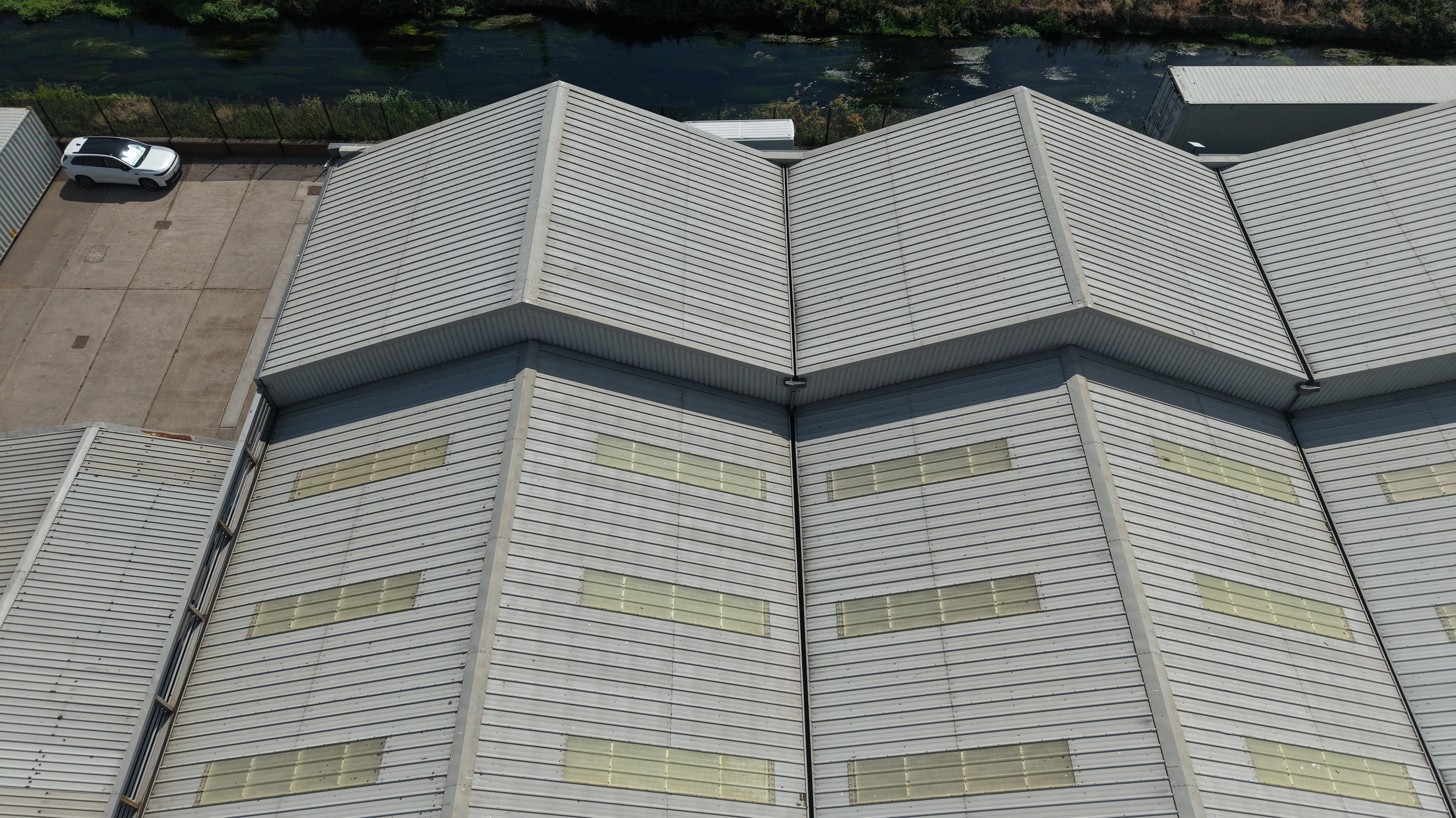
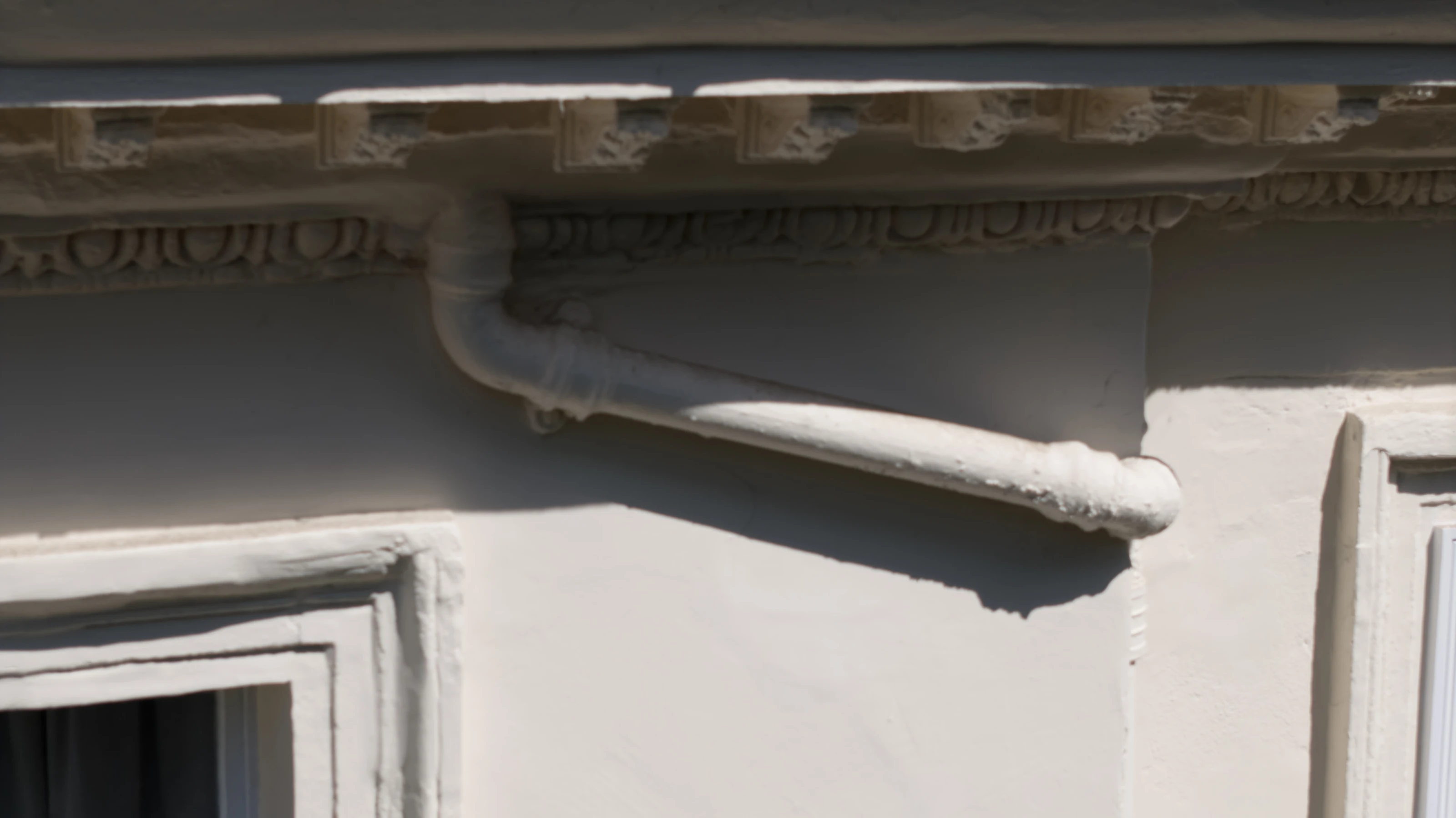
An open industrial roof flown at a fixed height in overlapping passes is efficient work. A close-range fabric survey, working within a few metres of masonry to record flaunching and hopper heads, is slower, needs more planning, and often needs an observer as well as a pilot.
The rule of thumb: the closer the required detail, the longer the flight and the more of the cost is planning rather than flying.
3. What the deliverable is
Photographs and a set of annotated images are one thing. A scaled orthomosaic, a measurable 3D model or a point cloud is another, because the processing is a significant part of the work and the flight itself has to be flown differently, with controlled overlap and often with ground control.
Roughly, the ladder of deliverables is:
- •Inspection images. A structured set covering every elevation and detail. Fastest and cheapest.
- •Annotated condition report. The same images, with findings marked and located.
- •Orthomosaic. A scaled, measurable plan view. Areas and quantities can be taken off it.
- •Point cloud or 3D model. Full geometry, for design, BIM or drafting. Most processing, highest cost.
Most people asking for the last one need the second. Our guide to point clouds, orthomosaics and 3D models explains how to tell.
4. Whether it needs repeating
A one-off condition survey and a monitoring programme are priced completely differently. Repeat flights from fixed positions on a construction or asset programme are cheaper per visit, because the planning is done once, and considerably more valuable, because the comparison between dates is the product.
What it replaces, and why that comparison matters more than the price
The useful comparison is not against another survey. It is against the access equipment you would otherwise hire.
A scaffold has to be designed, erected, inspected, hired for a period and dismantled, and on a public frontage it may need a licence from the local authority and a pavement closure. A mobile elevating work platform needs hardstanding, an operator, a permit and space to set up, and it still cannot reach the middle of a large roof. Rope access needs anchor points and a team.
All three also carry a working-at-height risk that a survey flown from the ground does not, and all three take days of programme.
The reason drone survey costs a fraction of these is not that the flying is cheap. It is that everything around the flying has been removed.
What a proper quote should tell you
Ask for these. A quote that cannot answer them is not a quote:
- •The operator's authorisation and whether it covers the specific site, particularly in central London.
- •Public liability insurance, with the level stated.
- •What is actually delivered: how many images, at what resolution, in what format, and whether any report or annotation is included.
- •Turnaround time from flight to delivery.
- •What happens if the weather stops it. Wind and rain both ground aircraft. There should be a stated policy, not a surprise.
- •Whether a site visit or desk assessment is included in the price or charged separately.
Getting a number for your building
We quote on the specifics rather than from a table, because a table would be wrong for most buildings. What makes a quote fast is: the postcode, roughly what the building is, what you are trying to find out, and whether you need images or measurements.
Send those four things and you will get a fixed price rather than a range. Get in touch, or see drone survey, drone inspection and asset condition surveys.
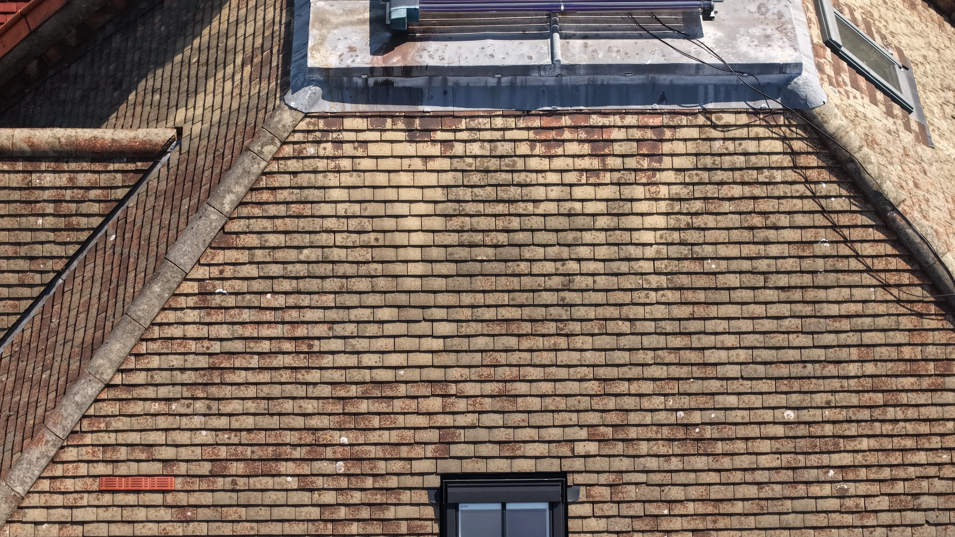
Worked examples of each type: an industrial roof survey, a close-range building fabric survey, a residential roof survey and an NHS point cloud survey.