Drone Survey Services for the Thames
Precision drone surveys for Thames infrastructure, riverbanks, and marine construction projects — planned by pilots who understand the tidal Thames.
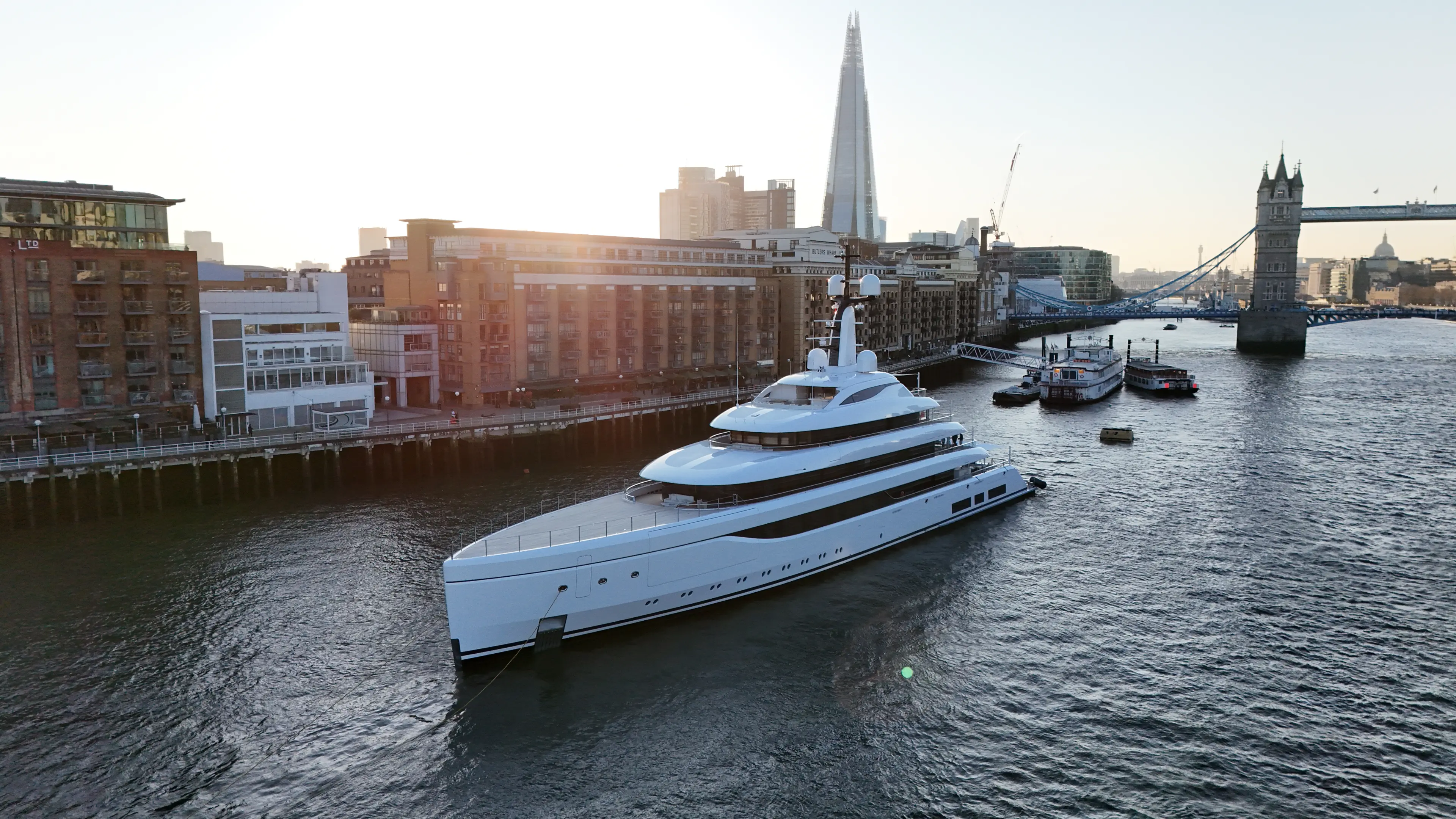
Our Thames drone survey services deliver precise aerial data for infrastructure owners, construction firms, and environmental consultancies working along the river. Using RTK GPS-enabled drones, we produce sub-centimetre-accurate orthomosaic maps, 3D point clouds, and digital elevation models of riverbanks, embankments, and marine structures. Our Thames drone team is made up of experienced river skippers and drone pilots who work on the tidal Thames day in, day out. We understand vessel operations, maritime civil works and PLA requirements, so every flight is planned around real-world river conditions, not just airspace on a map. We work closely with the Port of London Authority, Thames Water, and riparian landowners to ensure every survey is conducted safely, legally, and to the highest professional standards.
What's Included
Maritime Capabilities
Thames Skipper Expertise
Our Thames drone team is made up of experienced river skippers and drone pilots who work on the tidal Thames day in, day out. We understand vessel operations, maritime civil works and PLA requirements, so every flight is planned around real-world river conditions, not just airspace on a map.
Book Thames Filming
Thames operations require specialist planning. Contact us to discuss your project.
Get in TouchCoverage Area
- Tower Bridge & City
- Canary Wharf & Docklands
- Greenwich & Barrier
- Westminster & South Bank
- Full Tidal Thames