

Precision Drone Surveys in London
Accurate drone surveying for construction, infrastructure, and engineering projects across London. RTK GPS sub-centimetre precision.
Recent Work
Selected work from across London and the Thames.



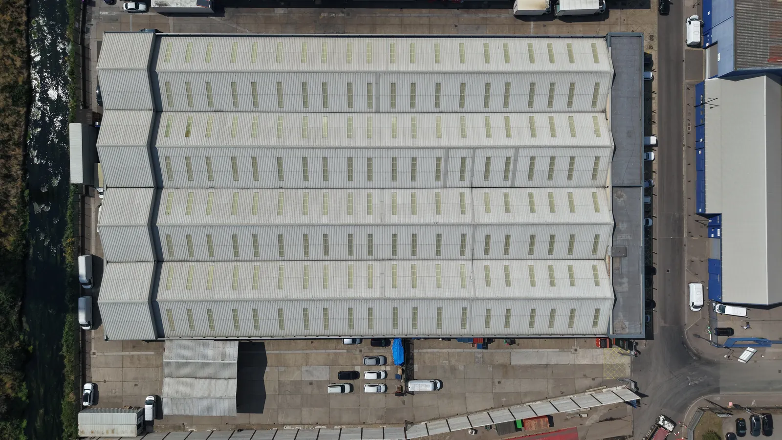
Our survey-grade drones deliver sub-centimetre accuracy for precise orthomosaic maps, 3D point clouds, and volumetric calculations. UAS London provides professional drone survey services for construction firms, infrastructure owners, engineering consultancies, and developers across London. From rooftop surveys and façade assessments to large-scale site mapping and progress monitoring, our RTK GPS-enabled drones produce data that meets professional survey standards and integrates directly with BIM workflows. Every survey is planned with full risk assessments and airspace coordination. We are CAA approved, carry £10M public liability insurance, and have extensive experience conducting drone surveys in London's complex urban environment.
What's Included
London Coverage
Drone Survey is available across every London borough. Select your area for more information.
Get a Quote
Every project is unique. Get in touch to discuss your requirements and receive a tailored quote.
Request QuoteWhy Choose Us
- CAA Approved Operators
- £10M Public Liability
- Same-Day Turnaround
- 4K/6K Cinema Quality
- Thames Specialist
- London-Wide Coverage
Frequently Asked Questions
How accurate are your drone surveys?
Our RTK GPS-enabled drones achieve sub-centimetre accuracy. We produce orthomosaic maps, 3D point clouds, digital elevation models, and volumetric calculations that meet professional survey standards.
Can drone surveys replace traditional surveying?
For many applications, yes. Drone surveys are faster, safer, and more cost-effective than traditional methods for topographic mapping, volumetric calculations, and progress monitoring. We recommend discussing your specific requirements to determine the best approach.
Are you CAA approved?
Yes. UAS London is fully CAA approved with enhanced permissions for commercial drone operations in built-up areas. We carry £10M public liability insurance and our pilots have over 1,000 flight hours.
How quickly can you deliver?
We offer same-day turnaround for urgent projects. Standard delivery is within 24-48 hours for edited footage and photography. RAW files can be delivered on the day of filming.
Need Drone Survey in London?
Tell us the site, the date and what you need delivered. We will come back with availability, airspace considerations and a clear, tailored quote.