

Lead flats behind a parapet, the flaunching on a chimney stack, the back gutter where a pitch meets a party wall, the hopper head at the top of a downpipe. All above the cornice line, all invisible from the street, all the first things to go.
Ask a surveyor where a London terrace goes wrong and you will get the same list every time. Lead flats behind the parapet. The flaunching around the chimney stacks. The back gutter where a pitch meets a party wall. The hopper head at the top of a cast iron downpipe, quietly overflowing into the brickwork for a decade.
Every item on that list sits above the cornice line. All of it is invisible from the street, and none of it is reachable without a scaffold or a cherry picker.

The zone between the cornice and the ridge
This survey recorded that zone across a stucco terrace in a single visit.
The frames run through a deliberate sequence. A full overhead first, which gives the slate coverage, the position and condition of every stack and pot, and the lead flats behind the parapet. Then progressively closer detail: the moulded cornice with its cast iron hopper and downpipe, the flaunching and pots on an individual stack, and the junction where a lead flat meets the slate pitch.
That sequence matters. An overhead alone tells you where things are but not what condition they are in. A set of close details alone tells you a stack is cracked but not which stack. Together they are a record somebody can act on.
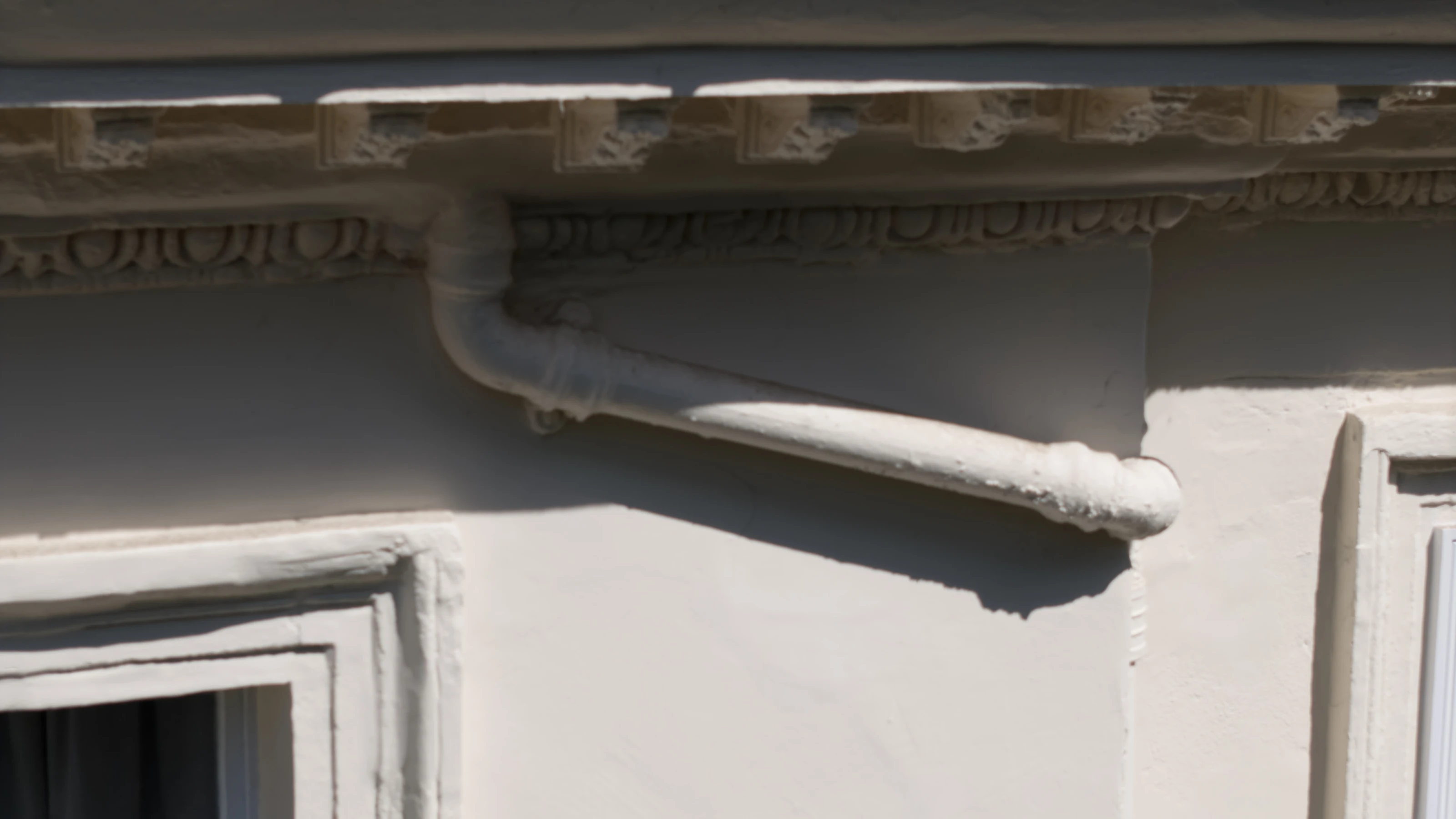
Close-range flying is a different discipline
Surveying an open industrial roof and surveying a terrace facade are not the same job, even though both are described as a drone survey.
Working this close means the aircraft is operating within a few metres of masonry. Warm walls generate turbulence, and a building with gaps between it and its neighbours produces channelled wind that is not what the forecast says at street level. Position holding relies on satellite signal that is degraded in a street canyon and on visual reference that changes as you move along a facade.
The consequence is that the flight is planned in advance and flown to that plan, not improvised. Each elevation and each element is a listed shot, flown in an order that keeps the aircraft in known space, with the pilot working from a plan and an observer keeping the wider picture.
It is also the reason the detail is worth having. At twenty metres you get a photograph of a roof. At three metres you get a record of its condition.
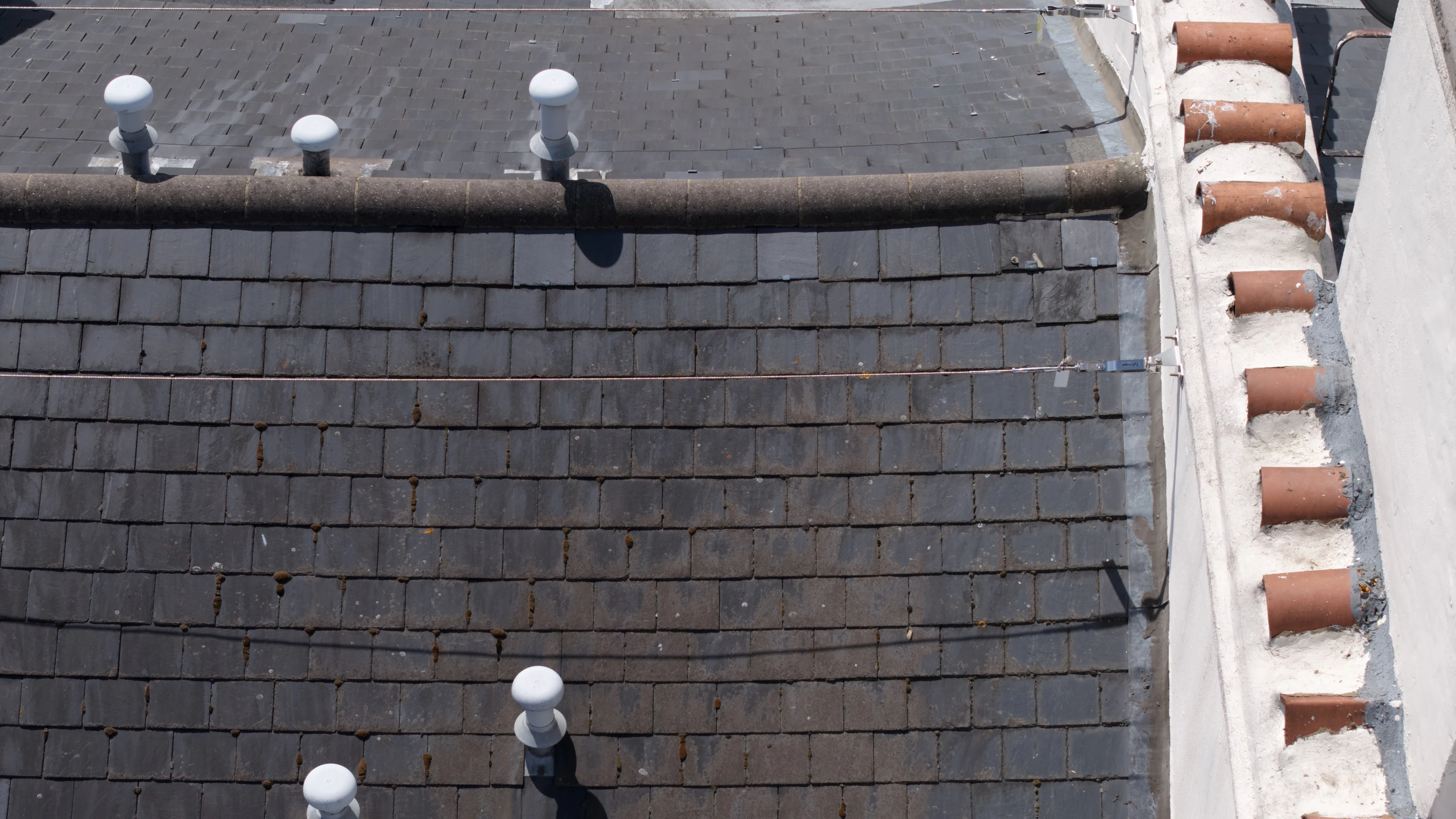
Privacy is part of the method
A terrace survey is flown in a residential street with people living in it, and that shapes the work as much as the wind does.
Frames that looked into windows were discarded rather than delivered. The flight plan keeps the aircraft over the building and its own curtilage rather than over neighbouring gardens. Residents were not disturbed, no scaffold went up, and nothing was left in the street.
For managing agents and freeholders this is often the sticking point with any inspection: not the cost, but the prospect of explaining a scaffold to twelve leaseholders. There is nothing to explain here.
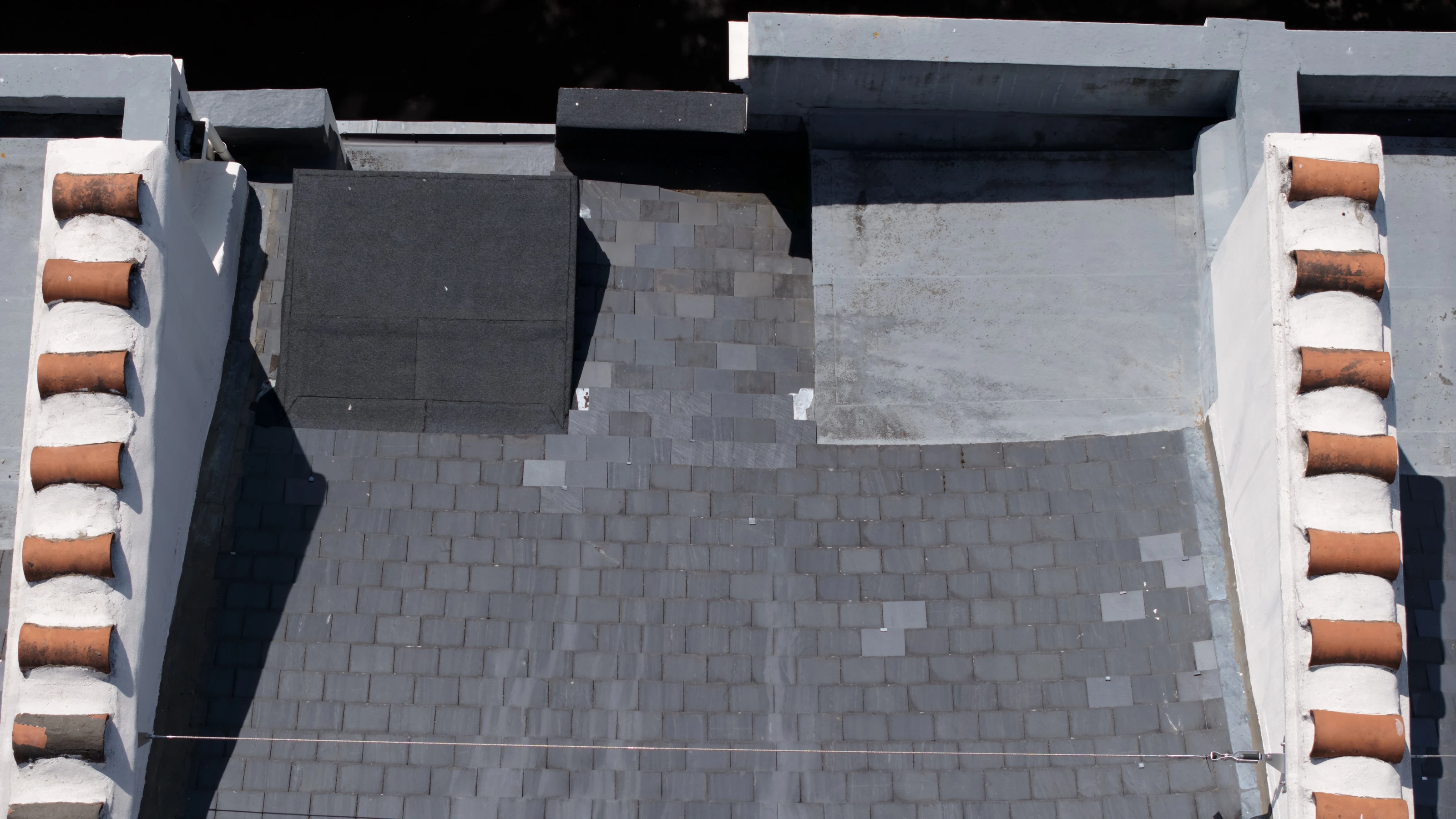
The full set is on the building fabric survey project page. Related: an industrial roof condition survey and a residential roof survey.
For period property, heritage and managed blocks, see drone inspection, asset condition surveys, or get in touch.