

A commercial roof is one of the hardest parts of a building to inspect and one of the most expensive to get wrong. We surveyed an industrial estate in a morning, with no scaffold, no cherry picker and nobody at height.
A commercial roof is the part of a building nobody looks at until it leaks, and by then the question has stopped being "is there a problem" and become "how much of it needs replacing".
The traditional ways of finding out are all expensive. A cherry picker needs hardstanding, an operator and a permit, and it still only reaches the edges. A scaffold costs more than most surveys. Putting a person on the roof means working at height on a surface whose condition is precisely what you are trying to establish, which is an uncomfortable circularity.
We surveyed this North London industrial estate from the air in a single morning.

Flown as a survey, not as a photo shoot
The difference between survey imagery and aerial photography is method, not equipment.
The roof was flown in overlapping passes at a fixed height, so that every sheet run, every valley and every rooflight appears in more than one frame from more than one angle. That overlap is what makes the set a record rather than a collection of pictures. Six months later, when somebody asks about a detail nobody thought to look at on the day, it is in the data.
Fixed height also means consistent scale. Two frames of the same roof taken at different heights cannot be compared; two frames taken at the same height can, which matters enormously when the survey is repeated in a year's time to see what has moved.
What the imagery actually showed
The findings here need no interpretation, which is the point.
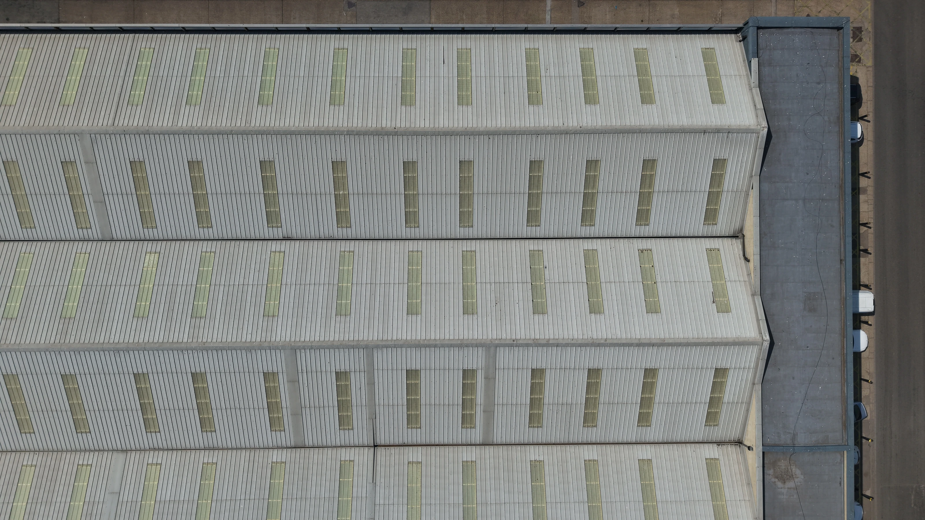
The rooflight panels have yellowed and stained unevenly along the runs. That is the ordinary ageing pattern for GRP sheets: they lose light transmission, go brittle, and eventually stop being safe to walk near, which is why fragile rooflights are one of the most common causes of serious falls in industrial buildings. Crucially, the unevenness is the useful part, because it separates a roof that needs a full rooflight replacement from one that needs a dozen panels swapped.
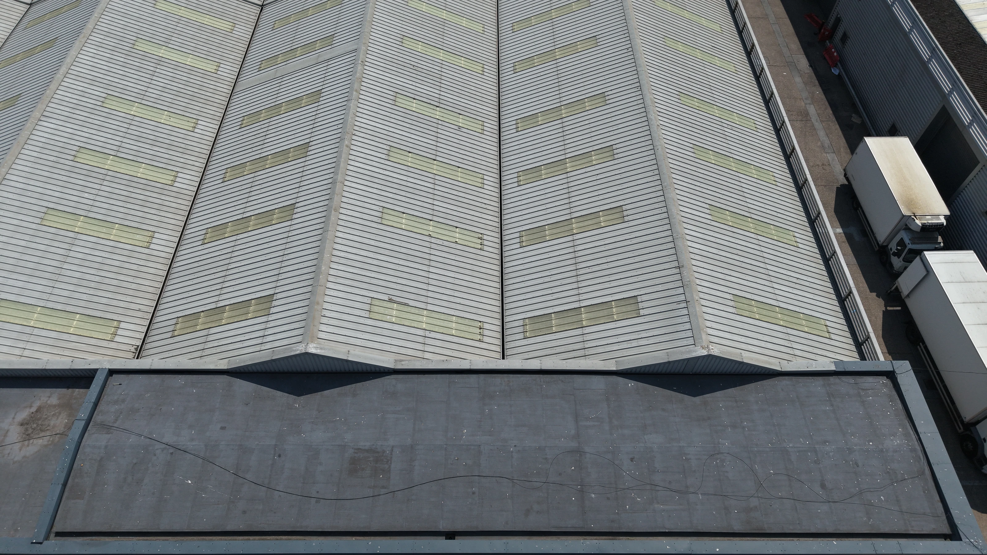
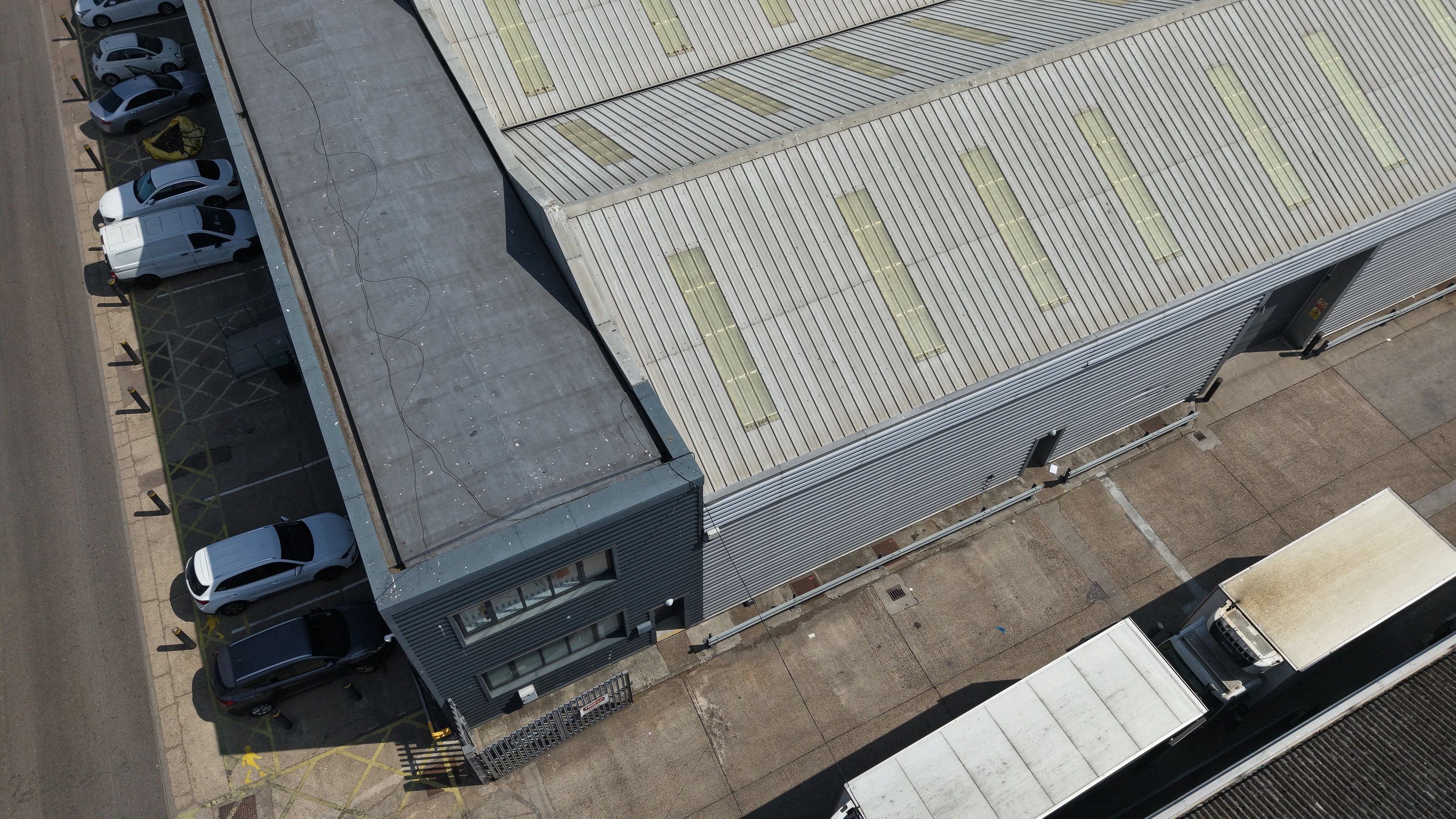
Beyond that, the set records sheet laps, ridge lines, gutter and valley runs, flashings, and the junction where the pitched roof meets the flat roof section. All at a resolution that lets you count fixings.
What it cost the occupier: nothing
No access equipment was brought to site. Nobody went onto the roof. No permit to work at height, no hardstanding closed off, no yard blocked. The tenants below carried on working and most of them will not have known it happened.
That is usually the deciding factor for a managing agent or an owner with occupied units. The survey cost is one thing; the cost of disrupting tenants is often larger and much harder to explain to them.
Where it goes next
The images here are stills, and for a condition assessment that is frequently all anyone needs.
The same flight, flown with the right overlap, is also the input for an orthomosaic, a scaled plan you can measure areas off, or a 3D model. That is the natural next question once the condition is understood, because the follow-up is always "how many square metres" and "what will it cost". Our guide to point clouds, orthomosaics and 3D models explains which of those you actually want.
The full set is on the industrial roof survey project page. Related work: a building fabric survey of a stucco terrace and a residential roof condition survey.
For commissioned survey work, see asset condition surveys, drone inspection, or get in touch.