

Advanced Drone Mapping Solutions
High-precision aerial mapping, 3D modelling, and digital twin creation for urban planning, architecture, and development in London.
Recent Work
Selected work from across London and the Thames.

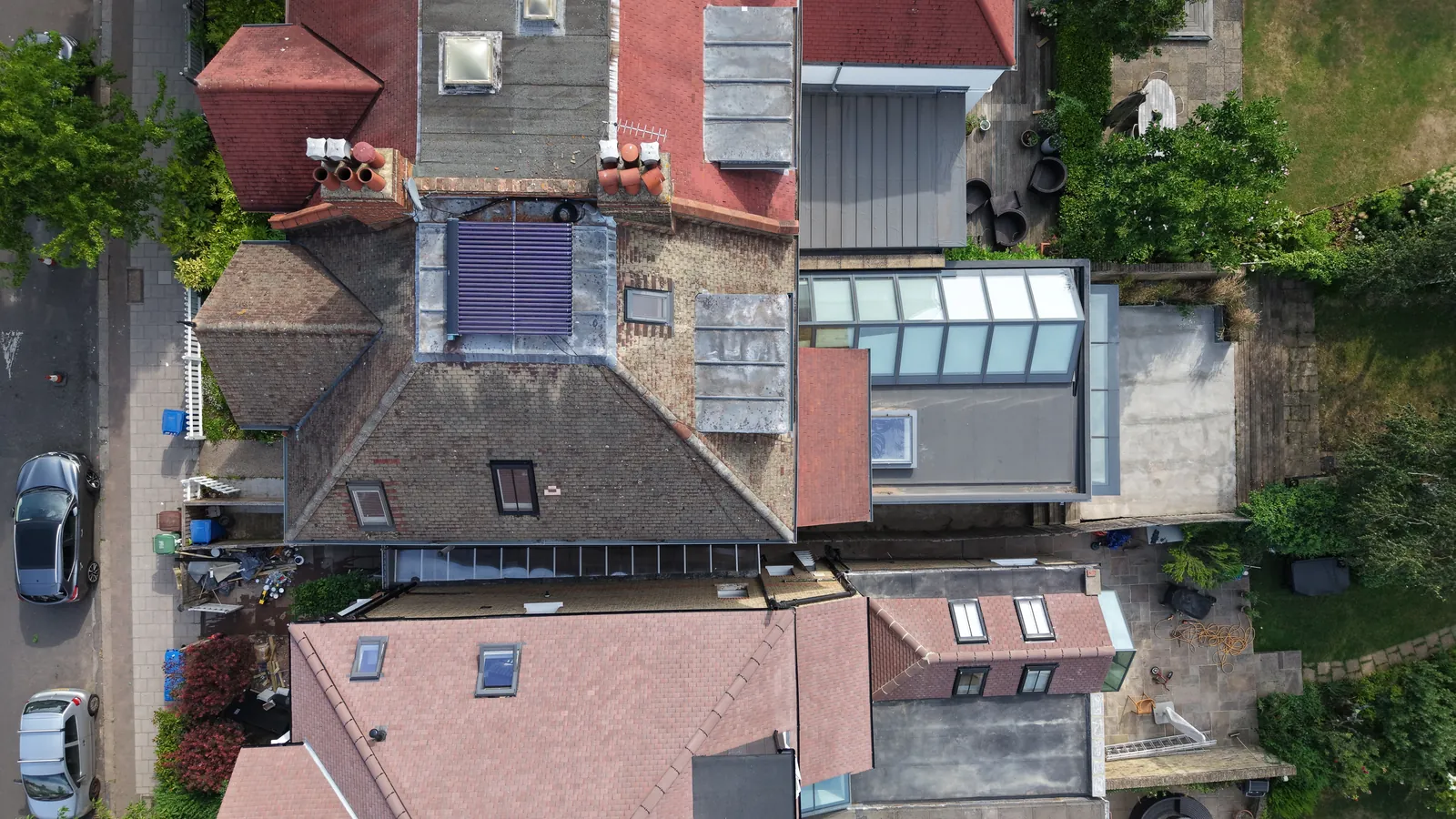
Our mapping services create detailed geo-referenced aerial maps and 3D models of sites across London. UAS London delivers professional drone mapping for planning applications, urban development, environmental monitoring, and historical documentation. We produce georeferenced orthomosaic maps, 3D photogrammetric models, digital twins, thermal maps, and multi-spectral imagery that integrate with all major GIS platforms. Our mapping data supports architects, planners, developers, councils, and environmental consultancies across every London borough. We are CAA approved, carry £10M public liability insurance, and have extensive experience in London's complex airspace.
What's Included
London Coverage
Drone Mapping is available across every London borough. Select your area for more information.
Get a Quote
Every project is unique. Get in touch to discuss your requirements and receive a tailored quote.
Request QuoteWhy Choose Us
- CAA Approved Operators
- £10M Public Liability
- Same-Day Turnaround
- 4K/6K Cinema Quality
- Thames Specialist
- London-Wide Coverage
Frequently Asked Questions
What types of drone mapping do you offer?
We provide orthomosaic mapping, 3D photogrammetry, digital twin creation, thermal mapping, NDVI vegetation analysis, and multi-spectral imaging. All outputs are georeferenced and compatible with GIS platforms.
Can you create digital twins of buildings?
Yes. Using photogrammetry, we create detailed 3D digital twins of buildings, structures, and sites. These models can be used for planning, documentation, and virtual inspection purposes.
Are you CAA approved?
Yes. UAS London is fully CAA approved with enhanced permissions for commercial drone operations in built-up areas. We carry £10M public liability insurance and our pilots have over 1,000 flight hours.
How quickly can you deliver?
We offer same-day turnaround for urgent projects. Standard delivery is within 24-48 hours for edited footage and photography. RAW files can be delivered on the day of filming.
Need Drone Mapping in London?
Tell us the site, the date and what you need delivered. We will come back with availability, airspace considerations and a clear, tailored quote.