

Most homeowners are told their roof needs work by somebody standing in the road looking up, or by somebody who has already put a ladder against the gutter. Neither gives you anything you can look at afterwards, or send to an insurer.
There are two ways most people find out their roof needs work. Somebody stands in the road, looks up, and tells them. Or somebody puts a ladder against the gutter and tells them from there.
Neither produces anything you can look at afterwards. Neither shows you the parts that actually fail. And in both cases the person telling you is usually the person who would like to sell you the repair.
What actually fails on a domestic roof
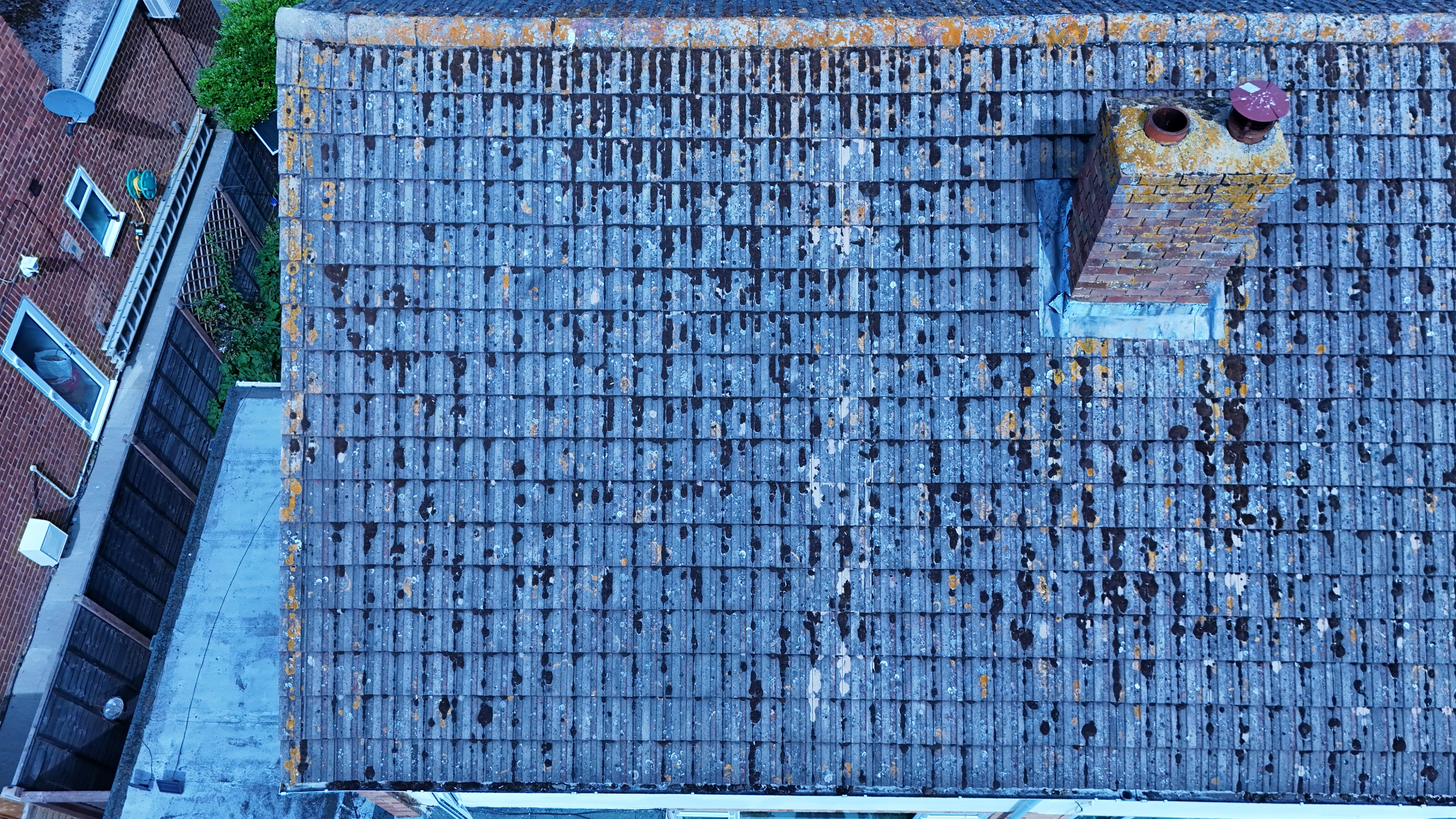
Rarely the middle of a slope, which is the only part visible from the street. The failures are at the junctions and the details:
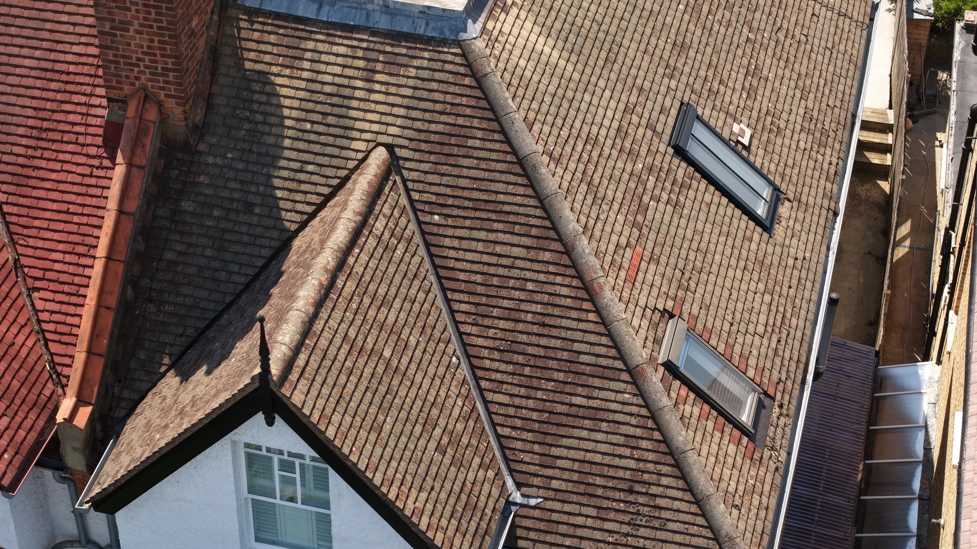
- •Valleys, where two pitches meet and everything the roof collects is funnelled into one channel.
- •The chimney stack, specifically the flaunching at the top and the flashing where it meets the roof.
- •Ridge and hip tiles, where the bedding mortar has gone.
- •Moss build-up in the courses, which holds water against the tiles and can lift them.
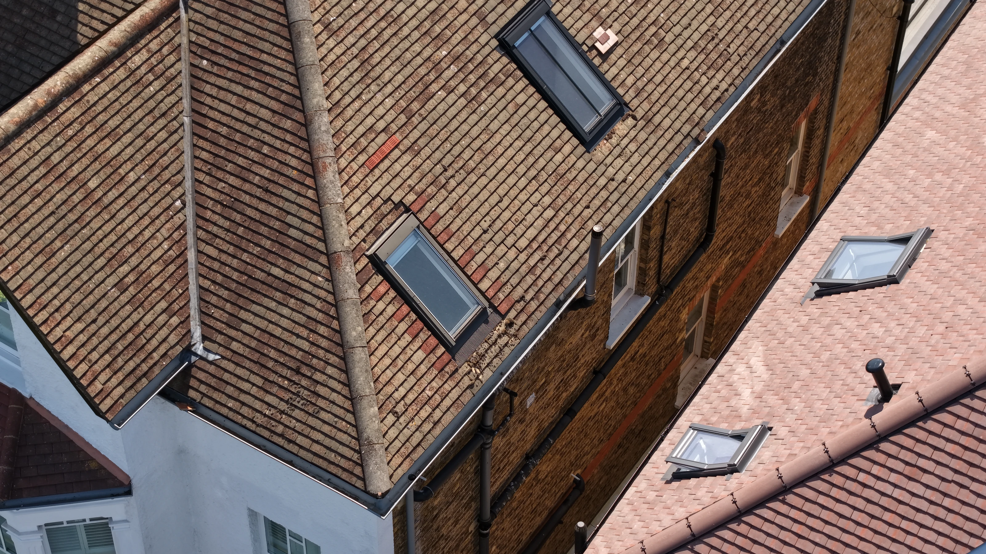
- •Around rooflights and vents, where the flashings are.
- •The gable and party wall junctions, out of sight from any pavement.
A survey that does not record those is not a survey.
How the flight is flown
Square on to each plane, at a consistent distance.
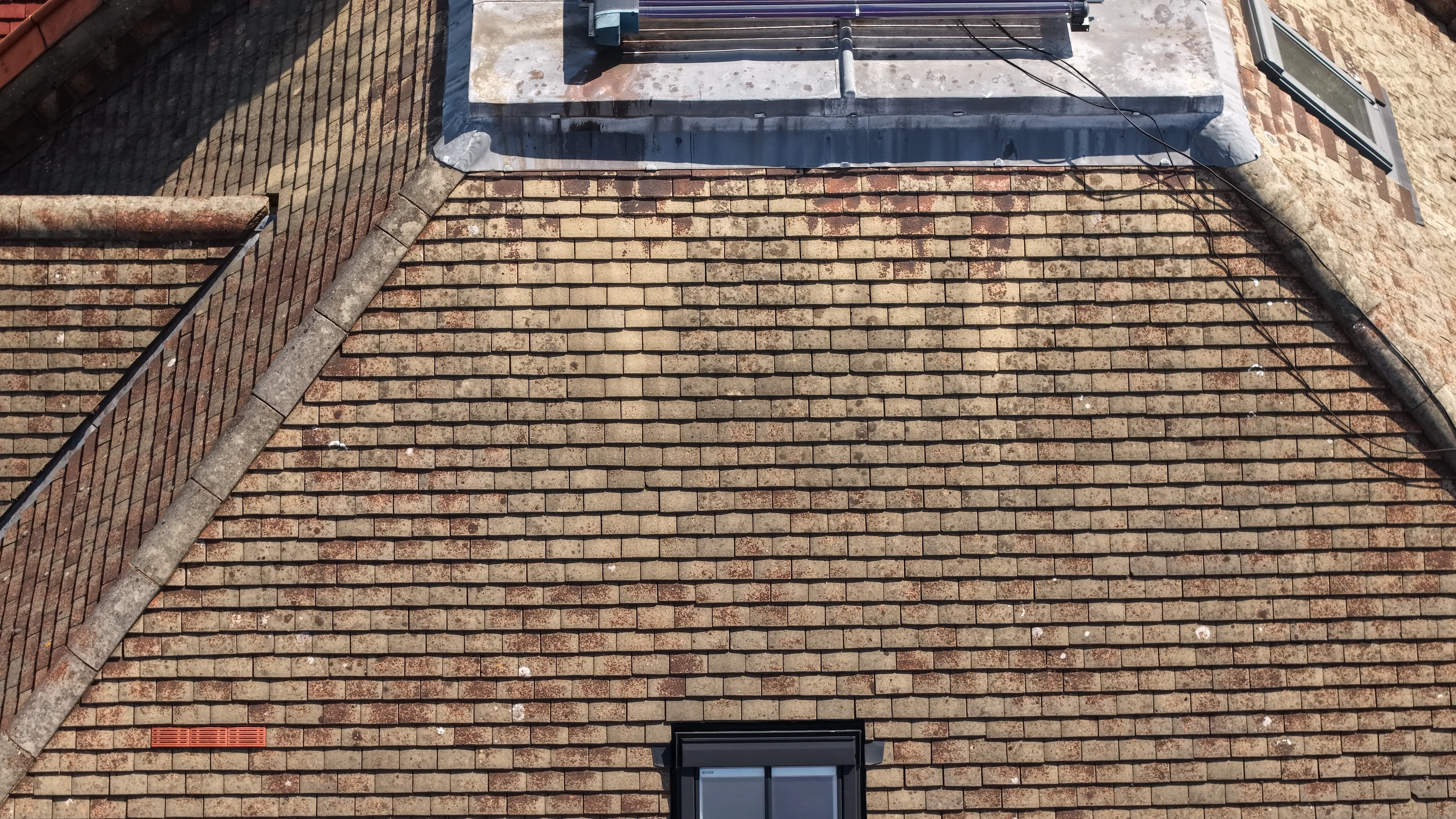
That sounds pedantic and it is the whole difference between usable images and a set of holiday snaps. Flying square on keeps the tile courses straight in the frame, so you can count them and locate a defect precisely: fourth course up, six tiles from the left of the valley. Flying at a consistent distance keeps the scale the same across the whole set, so two frames can be compared.
Close enough that a cracked or slipped tile is obvious without anyone interpreting it for you, and a full set covering every plane, both slopes, all junctions, the stack from more than one side, and the gutter line.
On a typical London house this takes about twenty minutes on site.
Why it is worth doing before you get quotes
The practical argument is money and leverage.
A scaffold has to go up before a roofer can even give you a firm quote for anything beyond the obvious. That is a real cost, incurred before you know whether the job is a hundred pounds of repointing or a full re-covering. A drone survey costs a fraction of that and gives you evidence in advance.
With images in hand you can send the same set to three roofers and get three comparable quotes for the same defined work, instead of three different opinions about a roof none of them has seen properly. You can also send it to an insurer, a managing agent, a surveyor or a buyer, which matters if you are dealing with storm damage or a sale.
Your neighbours, and your privacy
Only the roof gets published or delivered. On the project page for this survey, frames that included gardens, cars, neighbouring windows or anything that would identify the address were left out entirely.
In flight, the aircraft stays over the property. We do not fly over neighbouring gardens to get a better angle, and any frame that catches into a window is discarded rather than delivered. If a neighbouring elevation genuinely has to be recorded, that is a conversation with the neighbour first.
The published set is on the residential roof survey project page.
For homeowners, landlords and managing agents: see drone inspection, our guide to what a drone roof survey costs, or get in touch with your postcode and a rough description of the roof.