

Construction Progress Monitoring in UB2
Everything we fly in UB2 sits inside permissions we already hold, with paperwork available on request.
Recent Work
Selected work from across London and the Thames.
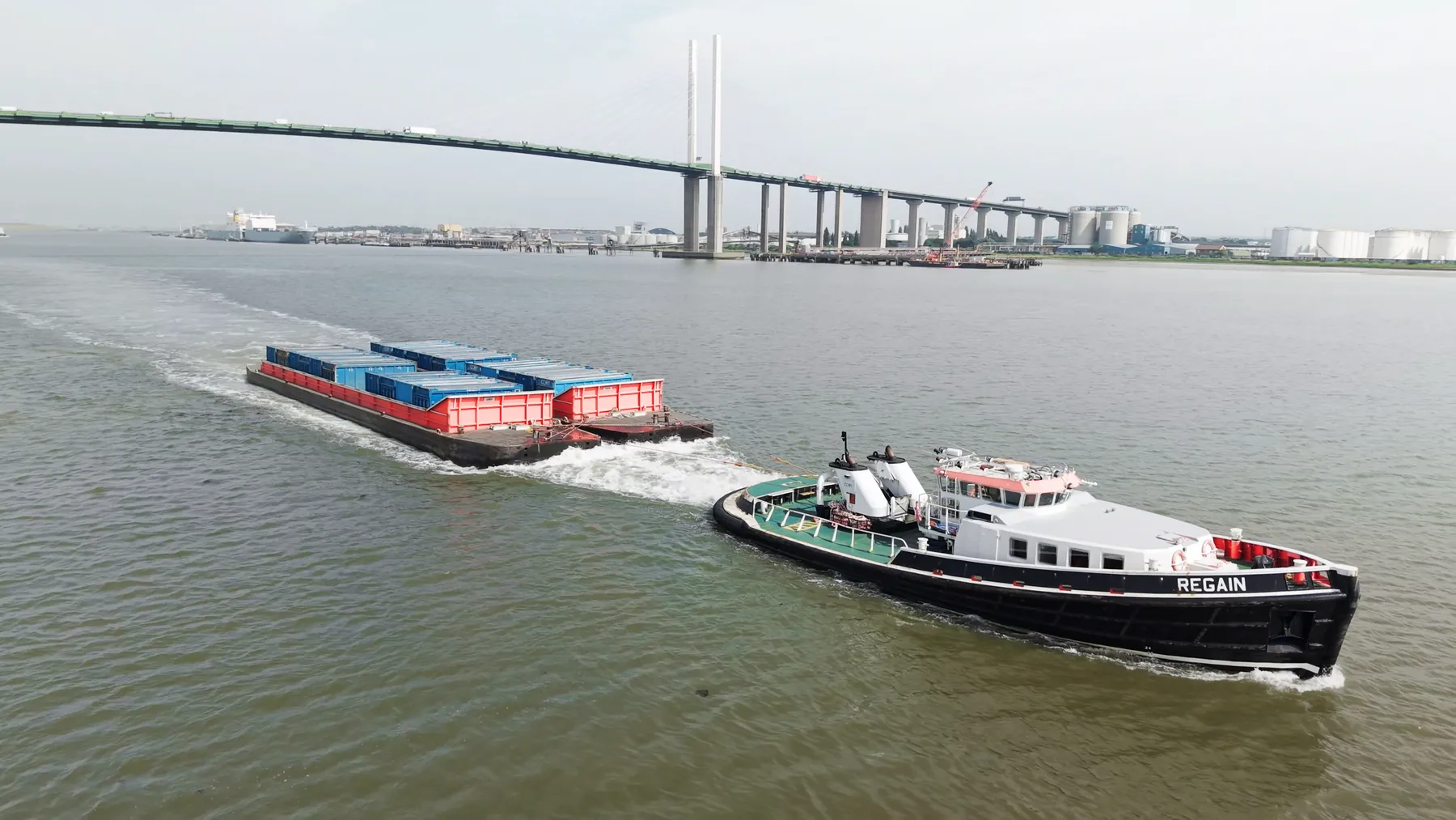
We deliver construction progress monitoring throughout UB2 for commercial and private clients alike. Projects here run from quick property shoots to multi-day commercial productions. Small jobs are welcome; there is no minimum project size.
We shoot construction progress monitoring to be used, not to fill a gallery. Where UB2 sits under a flight path, timings matter more than usual. Because UB2 falls under Southall, we can usually combine it with nearby districts in one visit.
Airspace over UB2 is checked on the day as well as at the planning stage. Payload choice follows the deliverable, whether that is a frame or a measurement. Neighbouring properties are considered before the flight path is set.
Site inductions and permit systems are no obstacle; we work to them routinely. Give us the site details and we will confirm feasibility and cost before you commit. The same pilot who plans the UB2 job is usually the one who flies it.
What's Included
Get a Quote for UB2
Get in touch to discuss your construction progress monitoring requirements in UB2.
Request QuoteOther Services in UB2
Frequently Asked Questions
Are you CAA approved?
Yes. UAS London is fully CAA approved with enhanced permissions for commercial drone operations in built-up areas. We carry £10M public liability insurance.
Can you work around a live site in UB2?
Yes. We plan around access routes, working hours and pedestrian movement, and can schedule flights for quieter windows to keep ground risk down. Cordons and marshalling are agreed in advance rather than arranged on the day.
What do we actually receive at the end?
That depends on the brief: graded video, high-resolution stills, orthomosaic maps, 3D models or an inspection report. Raw capture is handed over on the day and finished output follows by secure cloud transfer.