

FPV Drone Filming in RM14
From single visits to scheduled programmes, we deliver FPV drone filming throughout RM14.
Recent Work
Selected work from across London and the Thames.

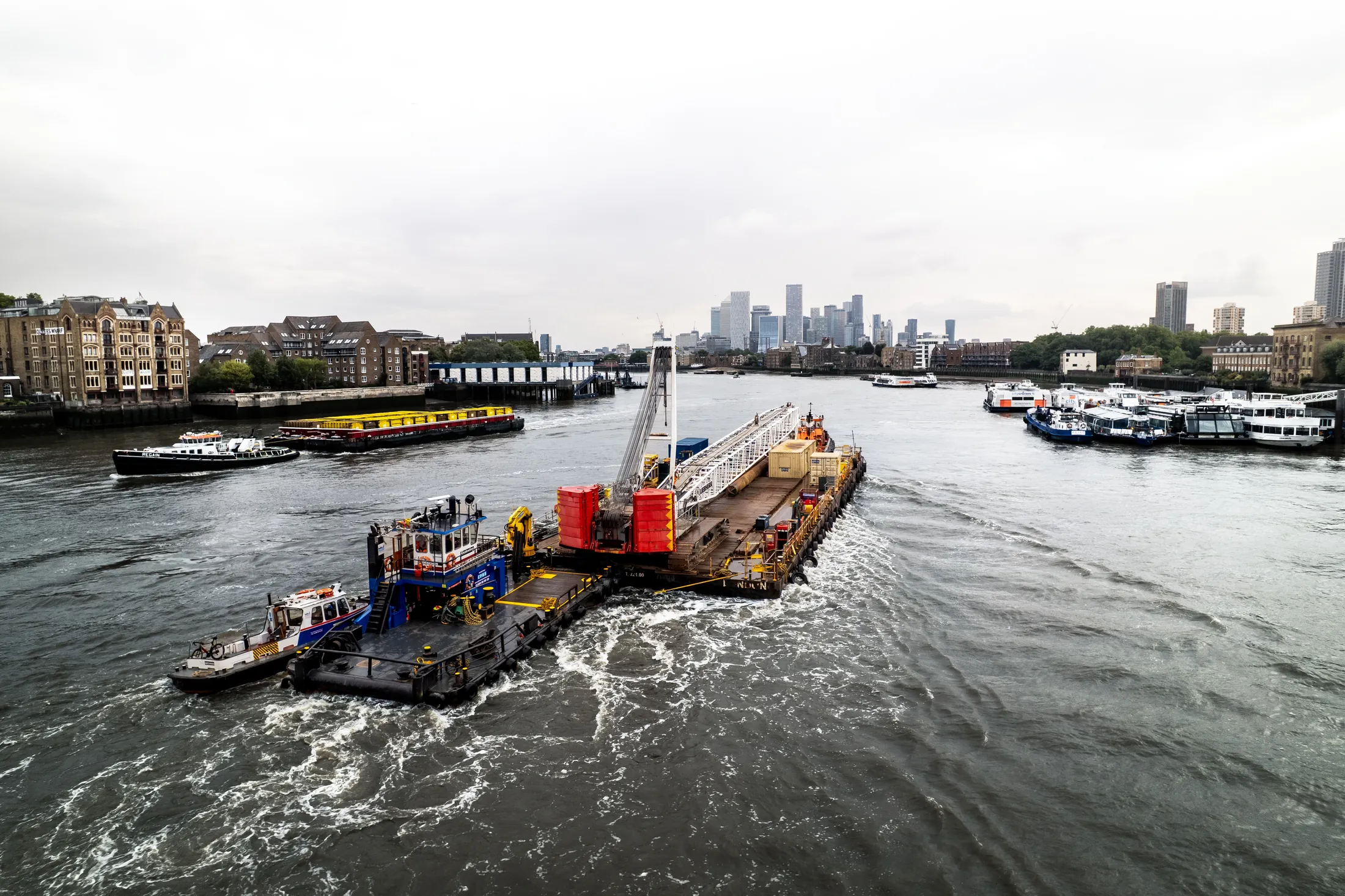
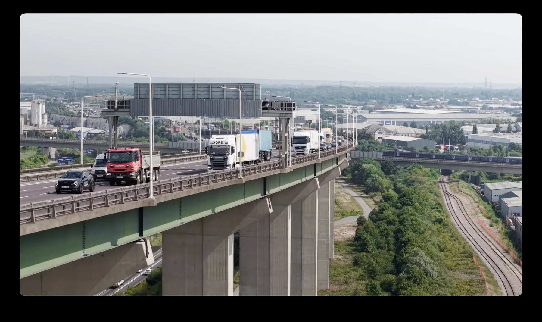
We take FPV drone filming bookings across RM14 most weeks of the year. Sites vary from tight residential streets to large commercial and industrial plots. Budgets and deadlines are easier to design around when we know them early.
A single well-planned flight over the site often replaces a day of access equipment. Built-up areas like RM14 carry ground-risk rules that open sites do not. Anything we can do elsewhere in Romford we can do in RM14.
Planning for RM14 covers airspace class, nearby aerodromes, and anything on the ground that changes the risk picture. Where the output is data rather than footage, we fly RTK-equipped platforms for survey-grade accuracy. Every crew member knows the abort criteria before the first take-off.
All flights are logged, and we keep the records available for your compliance file. Send the RM14 address and the brief, and we will come back with a fixed price. Where a job runs over, we absorb it rather than reissue the invoice.
What's Included
Get a Quote for RM14
Get in touch to discuss your FPV drone filming requirements in RM14.
Request QuoteOther Services in RM14
Frequently Asked Questions
Do you retain copyright, or do we?
Licensing is agreed before the shoot and written into the quote, so there is no ambiguity afterwards. Tell us how you intend to use the material and we will scope the licence to match.
What happens if the weather is bad on the day?
We monitor forecasts in the days before the flight and will tell you early if it looks marginal. If conditions make the flight unsafe we rebook the next clear window at no extra cost.
What do we actually receive at the end?
That depends on the brief: graded video, high-resolution stills, orthomosaic maps, 3D models or an inspection report. Raw capture is handed over on the day and finished output follows by secure cloud transfer.