

FPV Drone Filming in EN5
We fly FPV drone filming throughout EN5, planned and permitted before the crew arrives on site.
Recent Work
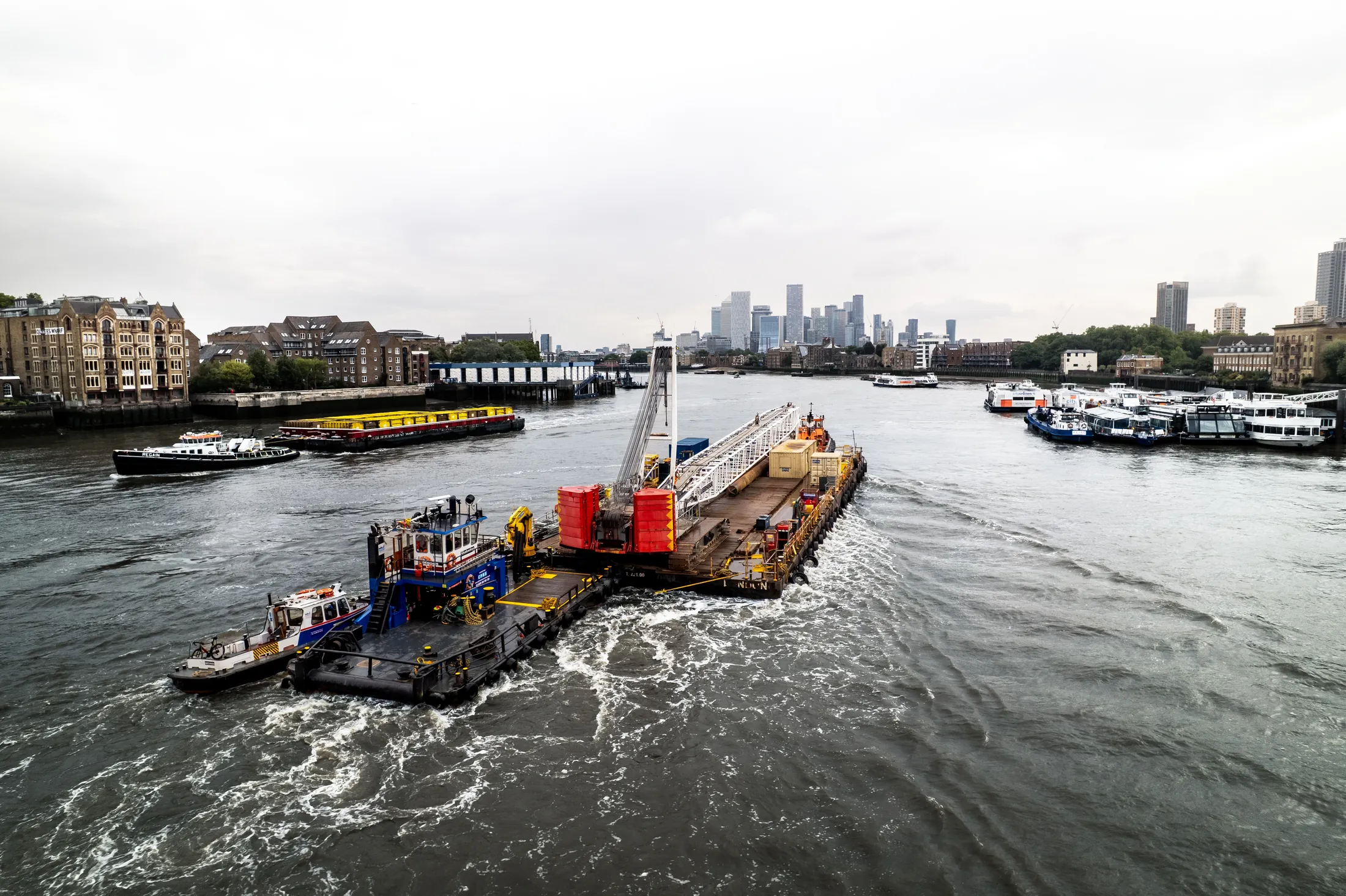
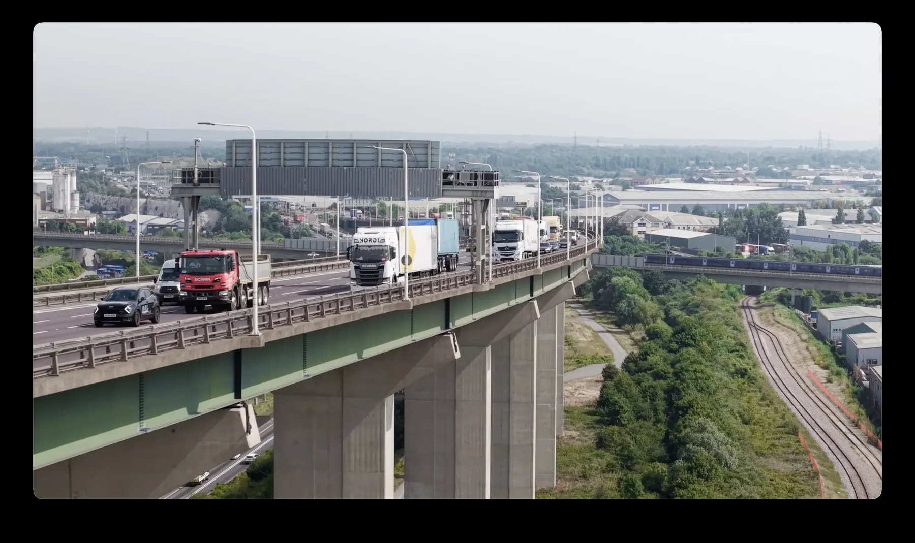
Selected work from across London and the Thames.

FPV drone filming in EN5 is something we are set up to do at short notice. Typical jobs cover commercial premises, residential developments, industrial units and open sites. Scheduling is flexible. Early starts and weekend slots are both available.
The right altitude for any EN5 site depends entirely on what you are trying to show. Traffic, pedestrians and overhead services in EN5 shape the plan as much as the regulations do. We hold current airspace knowledge for Enfield as a whole, EN5 included.
Operations in EN5 are planned against current NOTAMs and airspace data rather than last month's. We capture in RAW throughout, so there is headroom left in the grade or the processing. Anything we cannot legally do, we say so before you book rather than after.
We are CAA approved and insured to £10M public liability on every job. Urgent EN5 jobs can be turned around same-day where the schedule allows. Nothing about the EN5 operation is subcontracted out without telling you.
What's Included
Get a Quote for EN5
Get in touch to discuss your FPV drone filming requirements in EN5.
Request QuoteOther Services in EN5
Frequently Asked Questions
Can you fly drones in EN5?
Yes. We hold the necessary permissions to operate safely in EN5. Every operation includes a full risk assessment and coordination with local authorities or airspace controllers where required.
Can you fly indoors or in enclosed spaces?
Yes, with sub-250g aircraft and appropriate planning. Enclosed and confined spaces need their own risk assessment and often a different platform, so tell us about the environment early and we will confirm what is workable.
What do we actually receive at the end?
That depends on the brief: graded video, high-resolution stills, orthomosaic maps, 3D models or an inspection report. Raw capture is handed over on the day and finished output follows by secure cloud transfer.