

Drone Filming in SW8
SW8 is inside our regular patch, so drone filming there is a short mobilisation rather than a special arrangement.
Recent Work
Selected work from across London and the Thames.
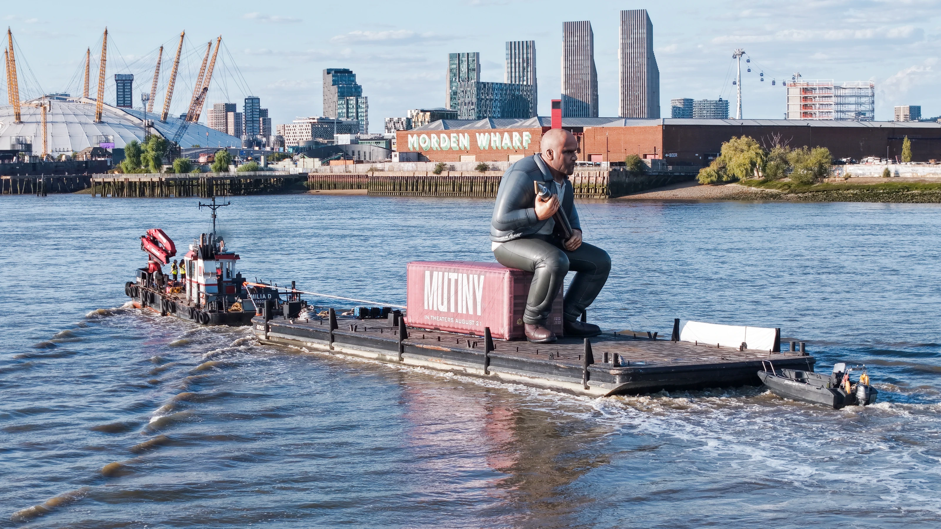
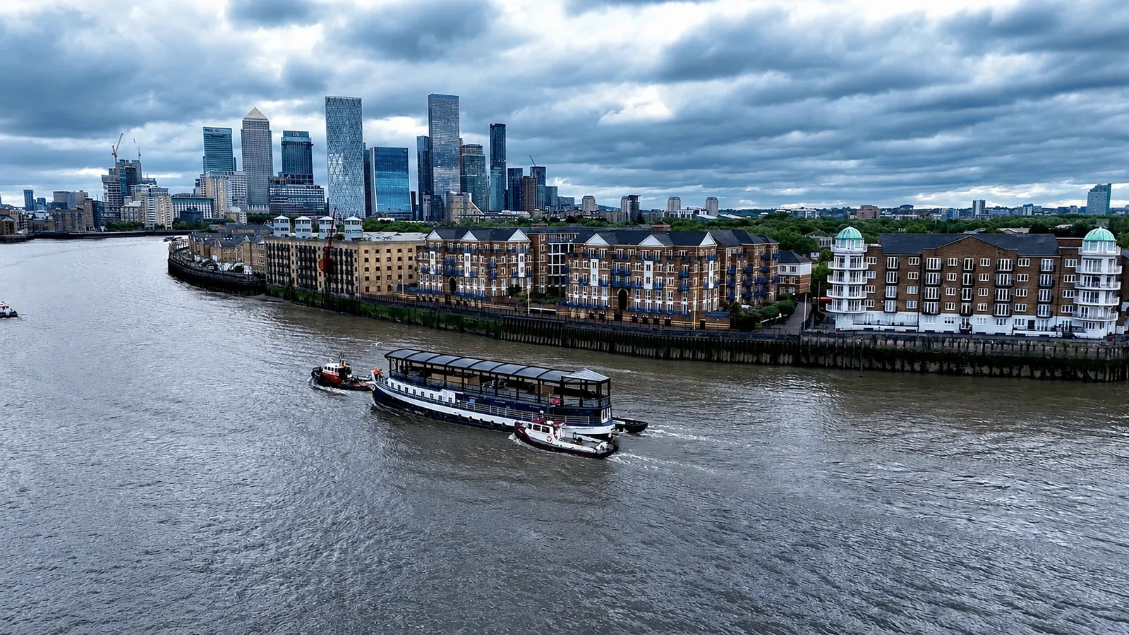
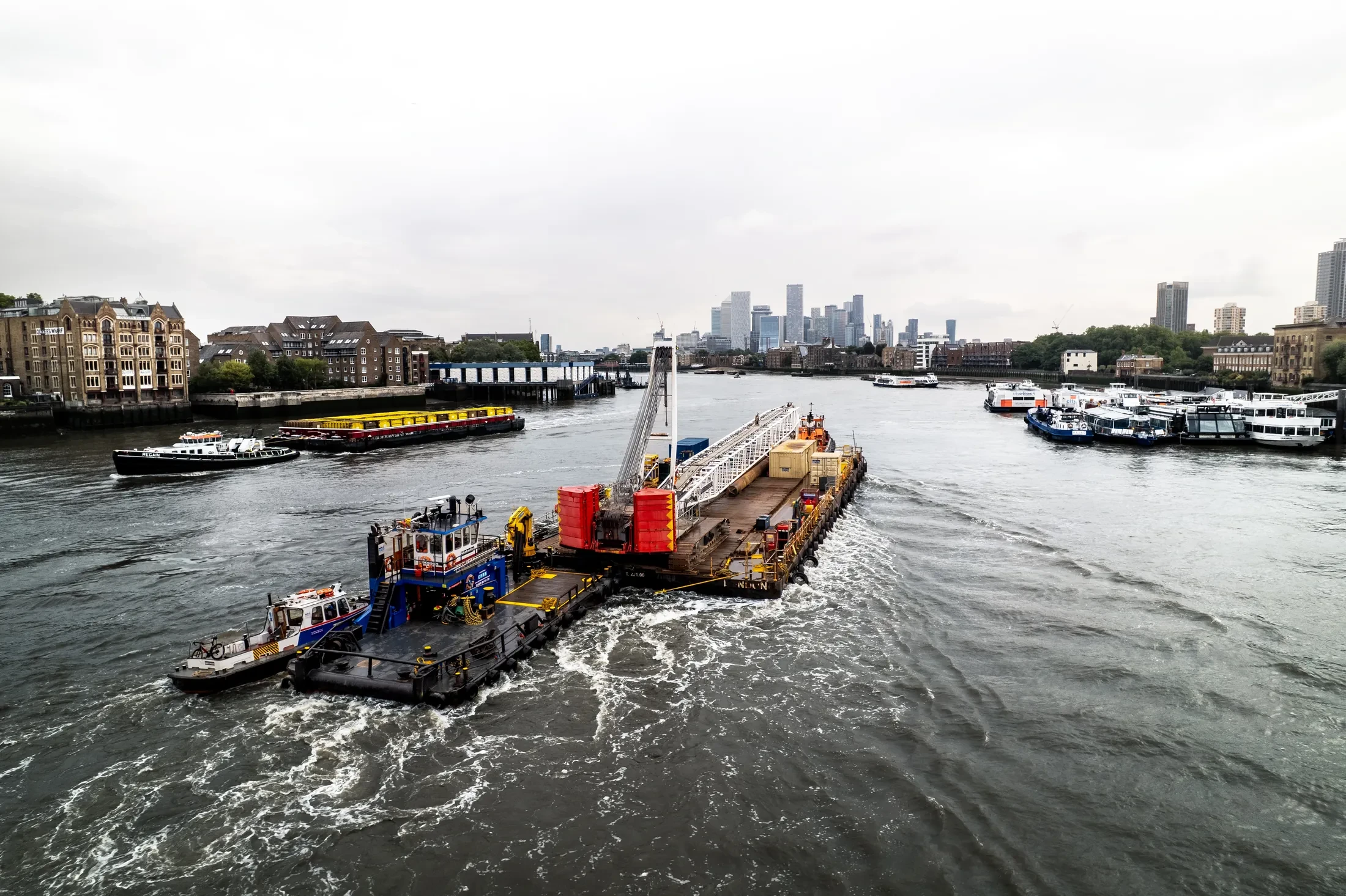
SW8 sits inside our core London coverage, and we fly there regularly. Work in the district covers everything from marketing imagery to progress records and condition reports. Where a job spans several sites, we can cover them in one mobilisation.
The point of drone filming is usually a decision someone else needs to make. London airspace is not uniform, and SW8 has its own constraints to work around. Anything we can do elsewhere in South West London we can do in SW8.
Each SW8 job is planned around the site itself: access, take-off points, overflight and people on the ground. We fly the aircraft the brief actually needs rather than the same platform for everything. If conditions change on the day, the pilot's call is final.
All flights are logged, and we keep the records available for your compliance file. Raw files come back the same day, with edited output typically inside 24 to 48 hours. You get one point of contact from enquiry through to delivery.
SW8 borders the tidal Thames, which changes how a flight there has to be planned. Our crews include working river skippers, so over-water and riverside jobs are coordinated with the Port of London Authority as a matter of course.
What's Included
Thames Riverside Expertise
Because SW8 is adjacent to the River Thames, operations here may require specialist maritime knowledge. We coordinate with the Port of London Authority (PLA) and provide highly experienced river skippers when required.
View Thames Operations →Frequently Asked Questions
Do you need us to close anything off while you fly?
Usually not. Most jobs are flown with a small cordon around the take-off point and sensible separation from people on the ground. Where a site genuinely needs more, we will tell you at the planning stage rather than on the morning.
Do we need permission from the landowner or council?
Take-off and landing need the landowner's permission, and we will tell you whose it is before the date. Where a council, managing agent or estate needs sight of our CAA authorisation, insurance or risk assessment, we supply the paperwork directly.
What do we actually receive at the end?
That depends on the brief: graded video, high-resolution stills, orthomosaic maps, 3D models or an inspection report. Raw capture is handed over on the day and finished output follows by secure cloud transfer.