

Drone Filming in EC4V
Commercial drone filming in EC4V, from a London operator with CAA approval, £10M cover and same-day raw delivery.
Recent Work
Selected work from across London and the Thames.
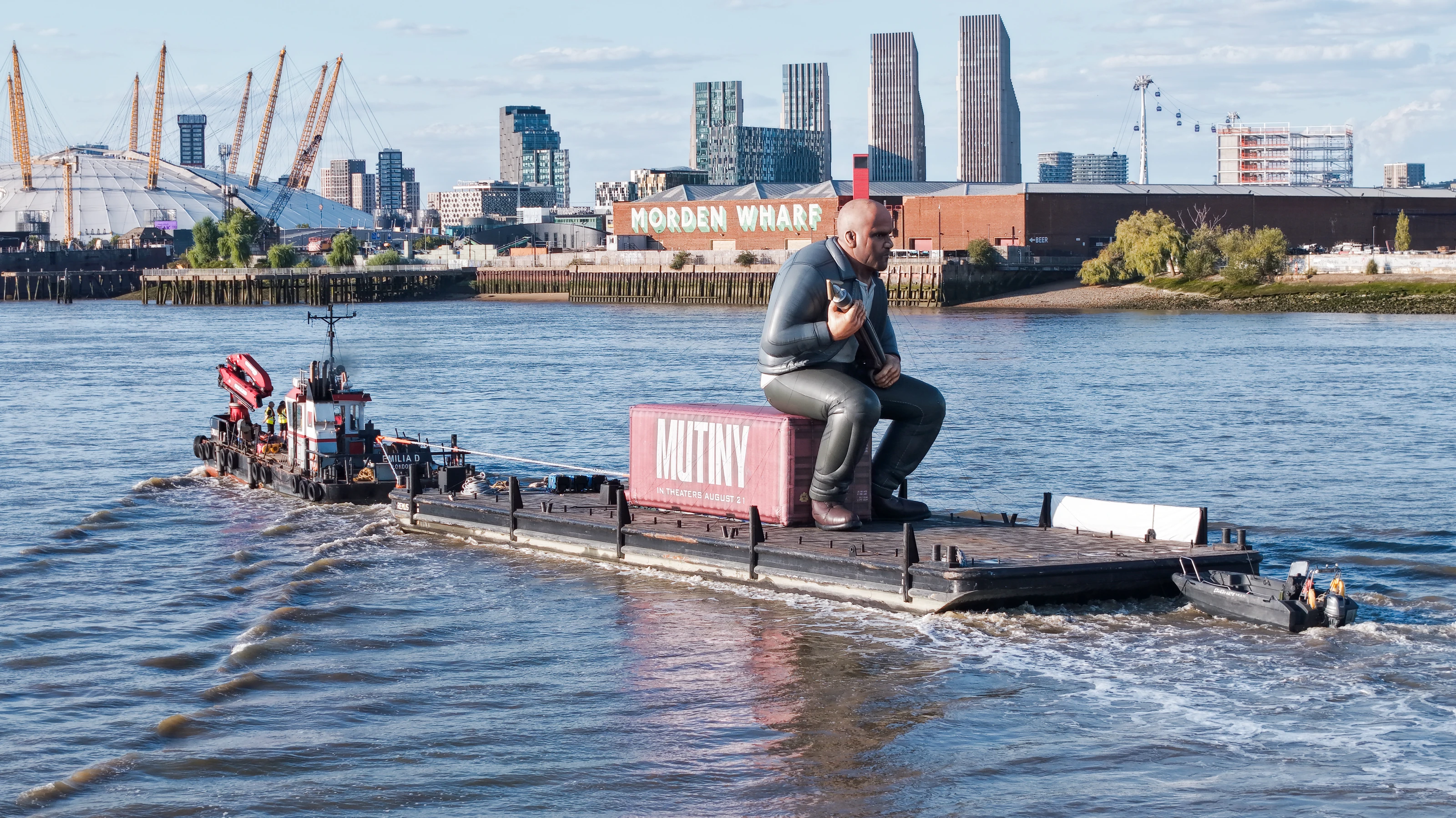
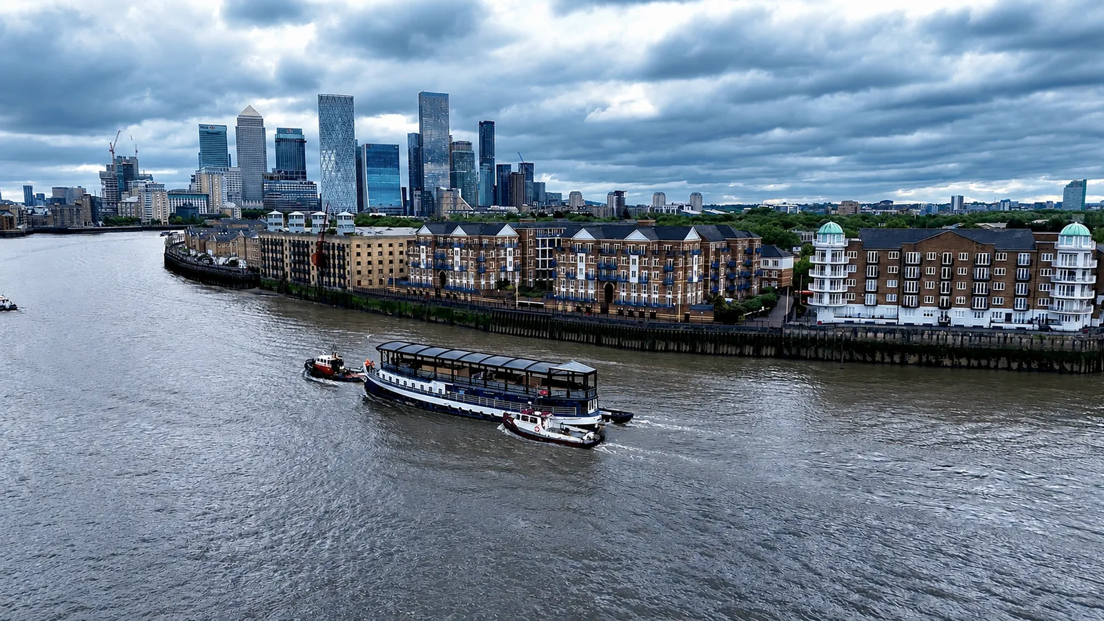
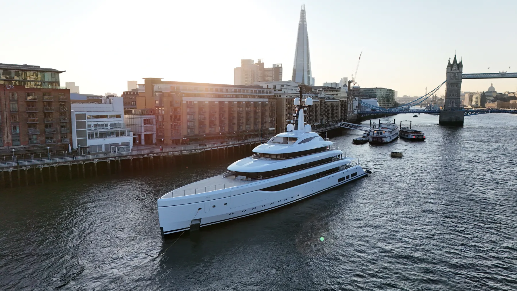
Drone filming in EC4V is something we are set up to do at short notice. Projects here run from quick property shoots to multi-day commercial productions. We can attend a pre-start meeting where the site requires one.
A single well-planned flight over the site often replaces a day of access equipment. Tall structures around EC4V affect both signal and wind, and we plan for both. Sites across East Central London get the same crews and the same standards as EC4V.
Airspace over EC4V is checked on the day as well as at the planning stage. The aircraft is chosen after the brief is understood, not before. We do not fly outside our permissions, whatever the deadline looks like.
Permissions, insurance and the risk assessment are all available before the flight rather than after it. Raw files come back the same day, with edited output typically inside 24 to 48 hours. If we get something wrong, we go back and reshoot it.
Where the job in EC4V sits on or over the river, we plan it around tide and traffic and notify the PLA in advance. Our pilots are insured for over-water flight.
What's Included
Thames Riverside Expertise
Because EC4V is adjacent to the River Thames, operations here may require specialist maritime knowledge. We coordinate with the Port of London Authority (PLA) and provide highly experienced river skippers when required.
View Thames Operations →Get a Quote for EC4V
Get in touch to discuss your drone filming requirements in EC4V.
Request QuoteOther Services in EC4V
Frequently Asked Questions
Are you CAA approved?
Yes. UAS London is fully CAA approved with enhanced permissions for commercial drone operations in built-up areas. We carry £10M public liability insurance.
How long will you be on site in EC4V?
Most single-subject jobs take one to three hours on site including setup, briefing and packing down. Larger sites, multiple elevations or survey work take longer, and we confirm the expected window when we quote.
What do we actually receive at the end?
That depends on the brief: graded video, high-resolution stills, orthomosaic maps, 3D models or an inspection report. Raw capture is handed over on the day and finished output follows by secure cloud transfer.