

Drone Filming in CR90
UAS London provides drone filming across the CR90 postcode district, under CAA operational authorisation and £10M public liability cover.
Recent Work
Selected work from across London and the Thames.
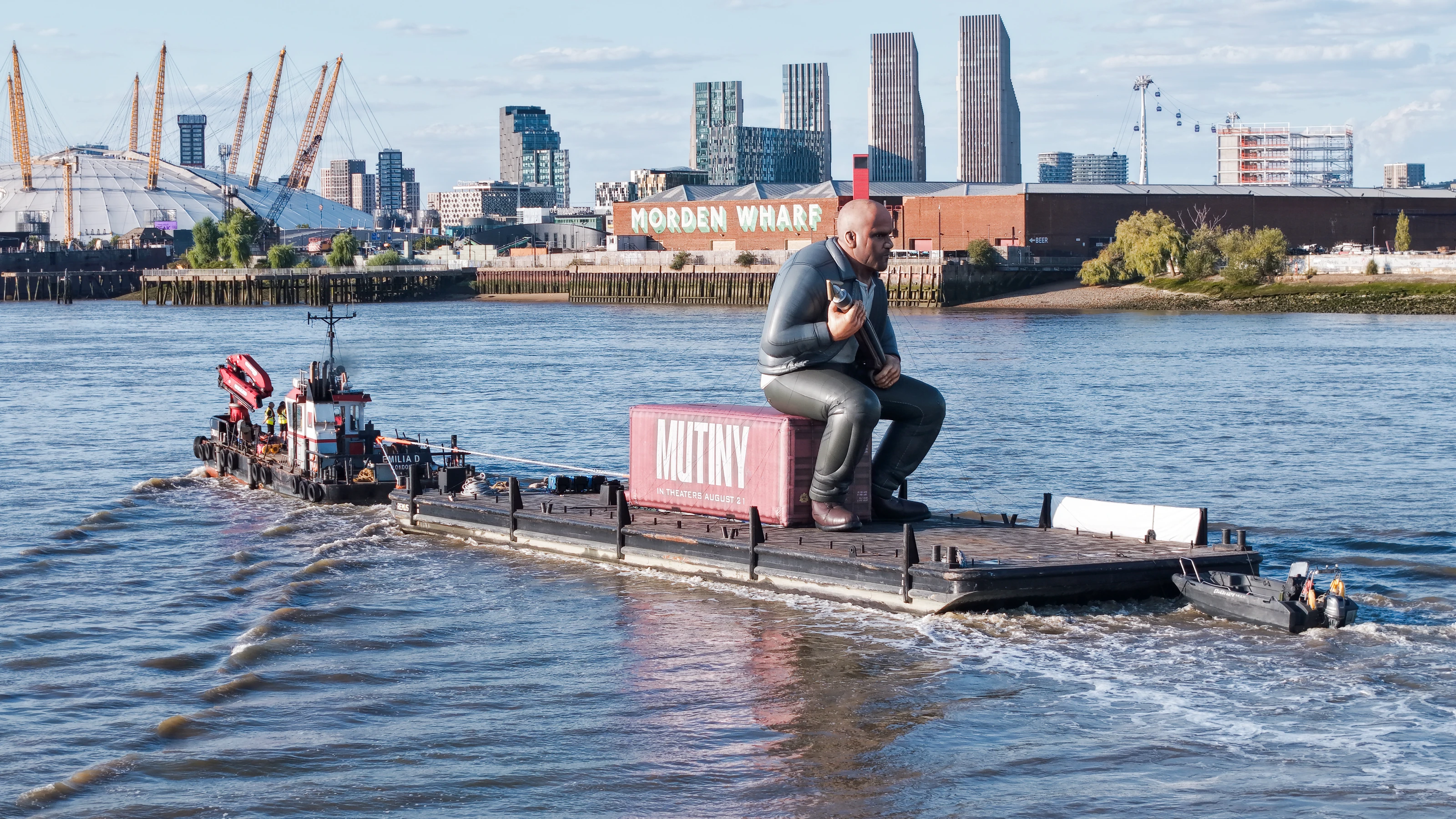
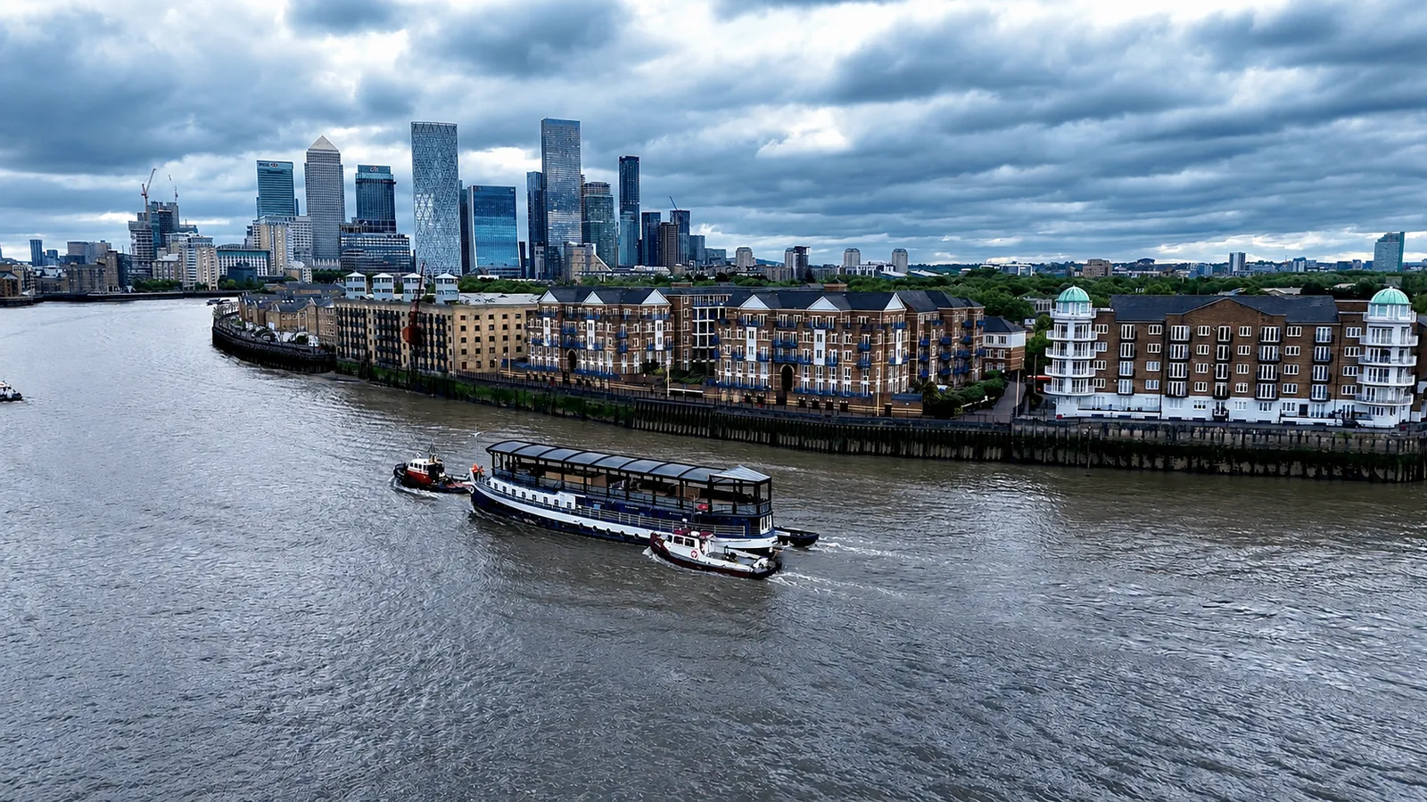
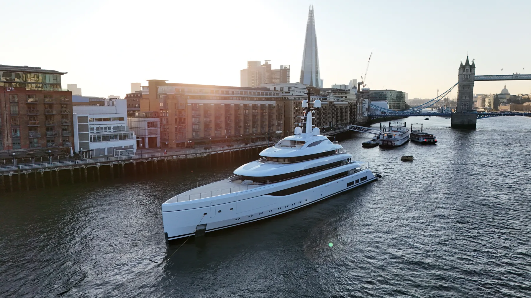
Drone filming in CR90 is something we are set up to do at short notice. Work in the district covers everything from marketing imagery to progress records and condition reports. We will say plainly if a drone is the wrong tool for what you are trying to show.
Good drone filming makes the next conversation shorter. Traffic, pedestrians and overhead services in CR90 shape the plan as much as the regulations do. Clients in CR90 often have sites elsewhere in Croydon, and we can cover both on one mobilisation.
Flight planning for CR90 accounts for restricted airspace, local infrastructure and pedestrian movement. Where the output is data rather than footage, we fly RTK-equipped platforms for survey-grade accuracy. If the airspace makes the job impossible, you will hear that at the enquiry stage.
Where a landowner, managing agent or council needs sight of our paperwork, we provide it up front. Delivery is by secure cloud transfer, with the raw files retained as backup. Every job gets a written brief confirmation before we mobilise.
What's Included
Get a Quote for CR90
Get in touch to discuss your drone filming requirements in CR90.
Request QuoteOther Services in CR90
Frequently Asked Questions
Can you fly drones in CR90?
Yes. We hold the necessary permissions to operate safely in CR90. Every operation includes a full risk assessment and coordination with local authorities or airspace controllers where required.
Do you need us to close anything off while you fly?
Usually not. Most jobs are flown with a small cordon around the take-off point and sensible separation from people on the ground. Where a site genuinely needs more, we will tell you at the planning stage rather than on the morning.
What do we actually receive at the end?
That depends on the brief: graded video, high-resolution stills, orthomosaic maps, 3D models or an inspection report. Raw capture is handed over on the day and finished output follows by secure cloud transfer.