

Drone Filming in CR2
Commercial drone filming in CR2, from a London operator with CAA approval, £10M cover and same-day raw delivery.
Recent Work
Selected work from across London and the Thames.
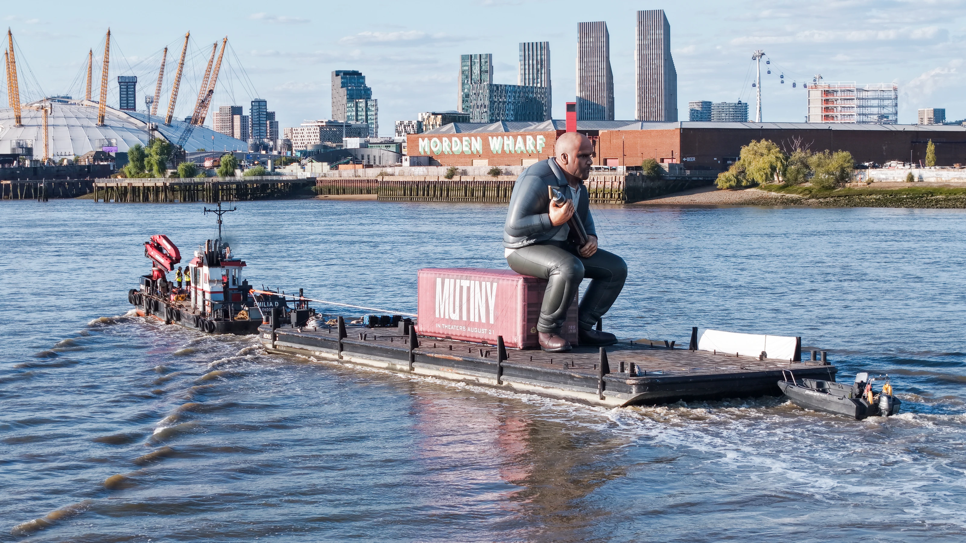
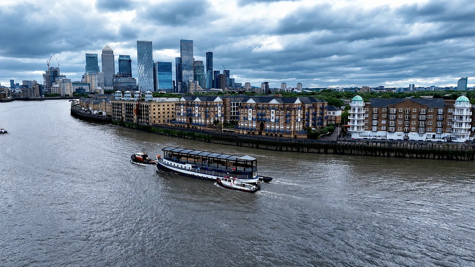
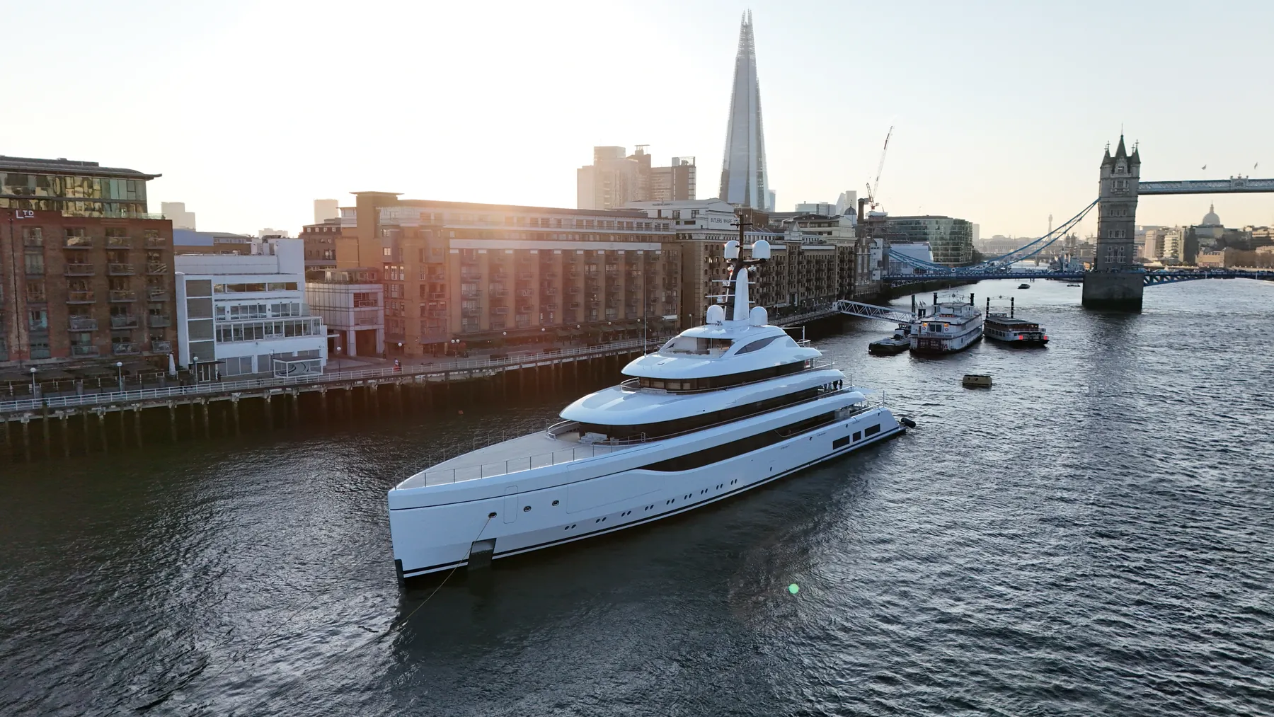
We take drone filming bookings across CR2 most weeks of the year. Sites vary from tight residential streets to large commercial and industrial plots. Deliverables can be split across several recipients where the client team is spread out.
Whether the CR2 material ends up in a brochure or a report changes how we shoot it. We treat CR2 as its own operating environment rather than a dot on a London map. Because CR2 falls under Croydon, we can usually combine it with nearby districts in one visit.
Before we fly in CR2 we check airspace restrictions, obstacles and ground risk on the day. We fly the aircraft the brief actually needs rather than the same platform for everything. We do not fly outside our permissions, whatever the deadline looks like.
We are happy to be added to a principal contractor's approved supplier list. File formats are agreed up front so nothing needs converting later. If we get something wrong, we go back and reshoot it.
What's Included
Frequently Asked Questions
How long will you be on site in CR2?
Most single-subject jobs take one to three hours on site including setup, briefing and packing down. Larger sites, multiple elevations or survey work take longer, and we confirm the expected window when we quote.
Can you work around a live site in CR2?
Yes. We plan around access routes, working hours and pedestrian movement, and can schedule flights for quieter windows to keep ground risk down. Cordons and marshalling are agreed in advance rather than arranged on the day.
What do we actually receive at the end?
That depends on the brief: graded video, high-resolution stills, orthomosaic maps, 3D models or an inspection report. Raw capture is handed over on the day and finished output follows by secure cloud transfer.