

Construction Progress Monitoring in W1U
Professional construction progress monitoring in W1U, delivered by pilots who work London's restricted airspace every week.
Recent Work
Selected work from across London and the Thames.
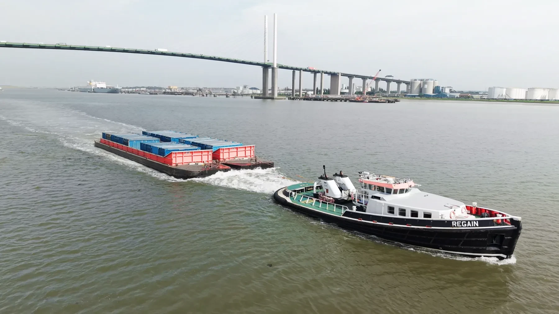
We deliver construction progress monitoring throughout W1U for commercial and private clients alike. Work in the district covers everything from marketing imagery to progress records and condition reports. Deliverables can be split across several recipients where the client team is spread out.
Whether the W1U material ends up in a brochure or a report changes how we shoot it. We treat W1U as its own operating environment rather than a dot on a London map. W1U is grouped with the rest of West London on our scheduling, which keeps mobilisation costs down.
Planning for W1U covers airspace class, nearby aerodromes, and anything on the ground that changes the risk picture. Mapping work is flown on RTK platforms rather than estimated from camera drones. Neighbouring properties are considered before the flight path is set.
Where a landowner, managing agent or council needs sight of our paperwork, we provide it up front. Nothing is held back pending payment; you get the material as agreed. Our quotes set out what is included so there is nothing to argue about afterwards.
What's Included
Get a Quote for W1U
Get in touch to discuss your construction progress monitoring requirements in W1U.
Request QuoteOther Services in W1U
Frequently Asked Questions
Can you fly drones in W1U?
Yes. We hold the necessary permissions to operate safely in W1U. Every operation includes a full risk assessment and coordination with local authorities or airspace controllers where required.
What do we actually receive at the end?
That depends on the brief: graded video, high-resolution stills, orthomosaic maps, 3D models or an inspection report. Raw capture is handed over on the day and finished output follows by secure cloud transfer.
What does a shoot in W1U cost?
Price depends on the site, the flight time and the deliverables, so we quote per job rather than from a rate card. Send us the W1U address and a short brief and we will come back with a fixed, obligation-free price.