

Construction Progress Monitoring in N16
A CAA-approved, £10M-insured crew for construction progress monitoring anywhere in N16.
Recent Work
Selected work from across London and the Thames.
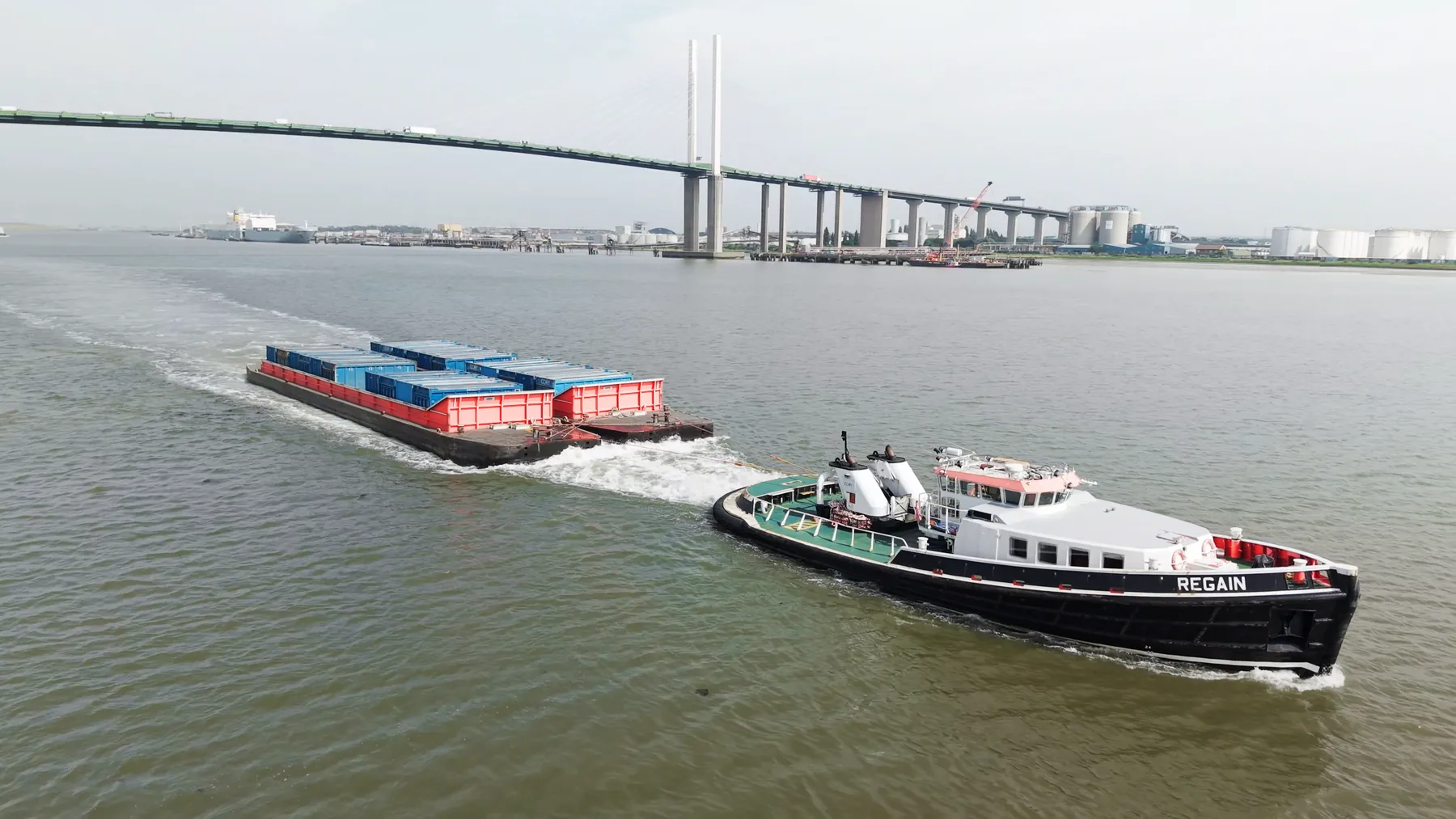
If your site falls in N16, our construction progress monitoring team can plan and fly it under existing CAA permissions. We are as comfortable on a single house as on a multi-acre site. We quote per job rather than from a rate card, because sites differ more than services do.
Height changes what the site communicates: context, scale and progress all read differently. Traffic, pedestrians and overhead services in N16 shape the plan as much as the regulations do. Sites across North London get the same crews and the same standards as N16.
We assess the N16 location in advance, on foot or from mapping, before any aircraft leaves the case. On site we match the platform to the job, using cinema rigs for filming and RTK systems where survey accuracy matters. We fly the plan that was agreed, and flag it if the site has changed since.
Where a landowner, managing agent or council needs sight of our paperwork, we provide it up front. Ask for the N16 brief to be quoted with and without editing if that helps you compare. We flag anything that could delay the N16 shoot as soon as we spot it.
What's Included
Get a Quote for N16
Get in touch to discuss your construction progress monitoring requirements in N16.
Request QuoteOther Services in N16
Frequently Asked Questions
Do we need permission from the landowner or council?
Take-off and landing need the landowner's permission, and we will tell you whose it is before the date. Where a council, managing agent or estate needs sight of our CAA authorisation, insurance or risk assessment, we supply the paperwork directly.
What do we actually receive at the end?
That depends on the brief: graded video, high-resolution stills, orthomosaic maps, 3D models or an inspection report. Raw capture is handed over on the day and finished output follows by secure cloud transfer.
Can you fly drones in N16?
Yes. We hold the necessary permissions to operate safely in N16. Every operation includes a full risk assessment and coordination with local authorities or airspace controllers where required.