

Construction Drone Filming in NW4
Construction drone filming in NW4, quoted per job and delivered to a spec you agree up front.
Recent Work
Selected work from across London and the Thames.
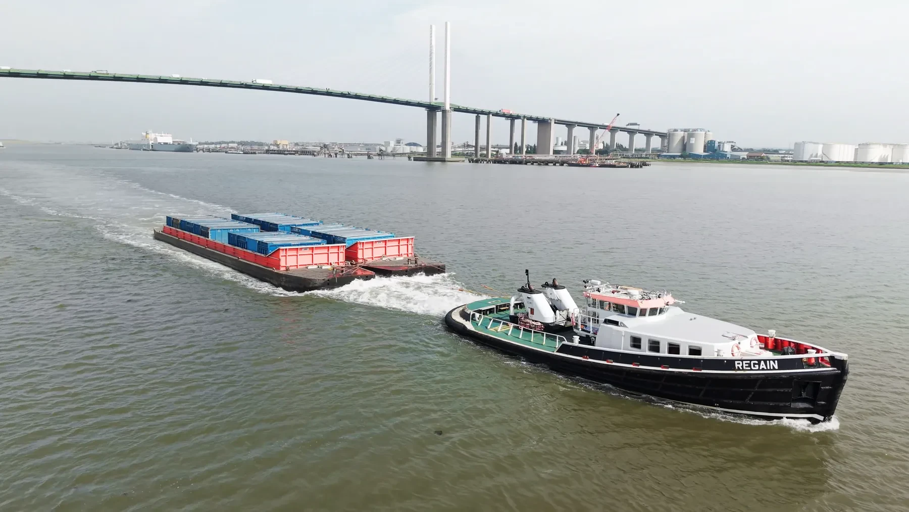
If your site falls in NW4, our construction drone filming team can plan and fly it under existing CAA permissions. Jobs come in from main contractors, subcontractors and the client side directly. Access constraints in NW4 are worth telling us about early, because they change the plan.
Whether the NW4 material ends up in a brochure or a report changes how we shoot it. We already know which parts of NW4 need extra lead time and which do not. NW4 is one of the North West London districts we cover, and the surrounding ones are all in range.
Each NW4 job is planned around the site itself: access, take-off points, overflight and people on the ground. Where the output is data rather than footage, we fly RTK-equipped platforms for survey-grade accuracy. We fly the plan that was agreed, and flag it if the site has changed since.
Permissions, insurance and the risk assessment are all available before the flight rather than after it. File formats are agreed up front so nothing needs converting later. Nothing about the NW4 operation is subcontracted out without telling you.
What's Included
Get a Quote for NW4
Get in touch to discuss your construction drone filming requirements in NW4.
Request QuoteOther Services in NW4
Frequently Asked Questions
Can you fly drones in NW4?
Yes. We hold the necessary permissions to operate safely in NW4. Every operation includes a full risk assessment and coordination with local authorities or airspace controllers where required.
What do we actually receive at the end?
That depends on the brief: graded video, high-resolution stills, orthomosaic maps, 3D models or an inspection report. Raw capture is handed over on the day and finished output follows by secure cloud transfer.
Do you retain copyright, or do we?
Licensing is agreed before the shoot and written into the quote, so there is no ambiguity afterwards. Tell us how you intend to use the material and we will scope the licence to match.