


Thames Towage Filming at Blackwall Reach
Specialist over-water thames towage filming at Blackwall Reach for marine engineering, logistics, and creative media.
Recent Work
Selected work from across London and the Thames.
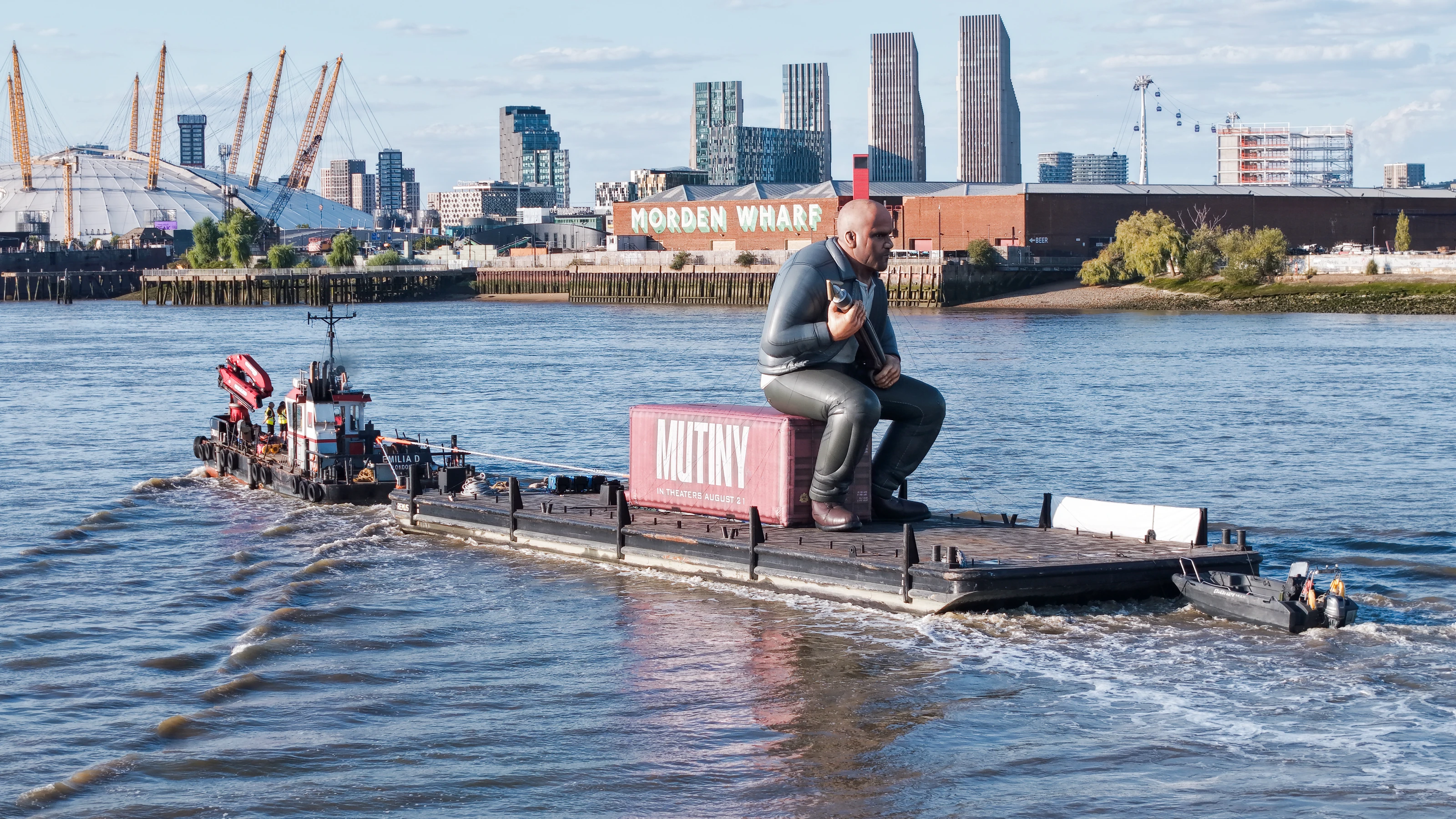
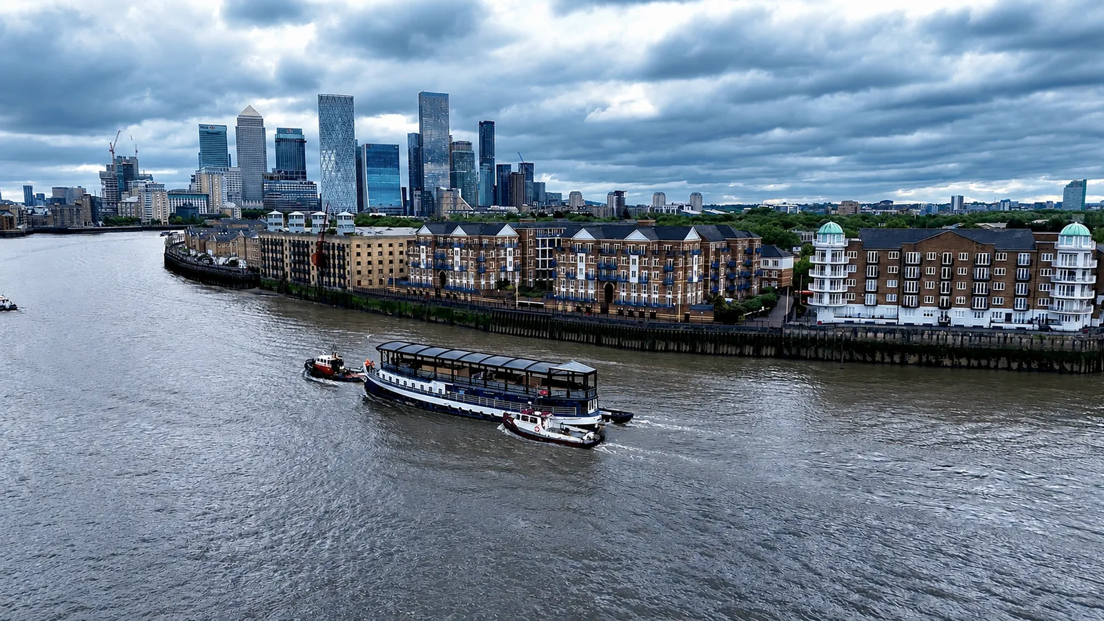
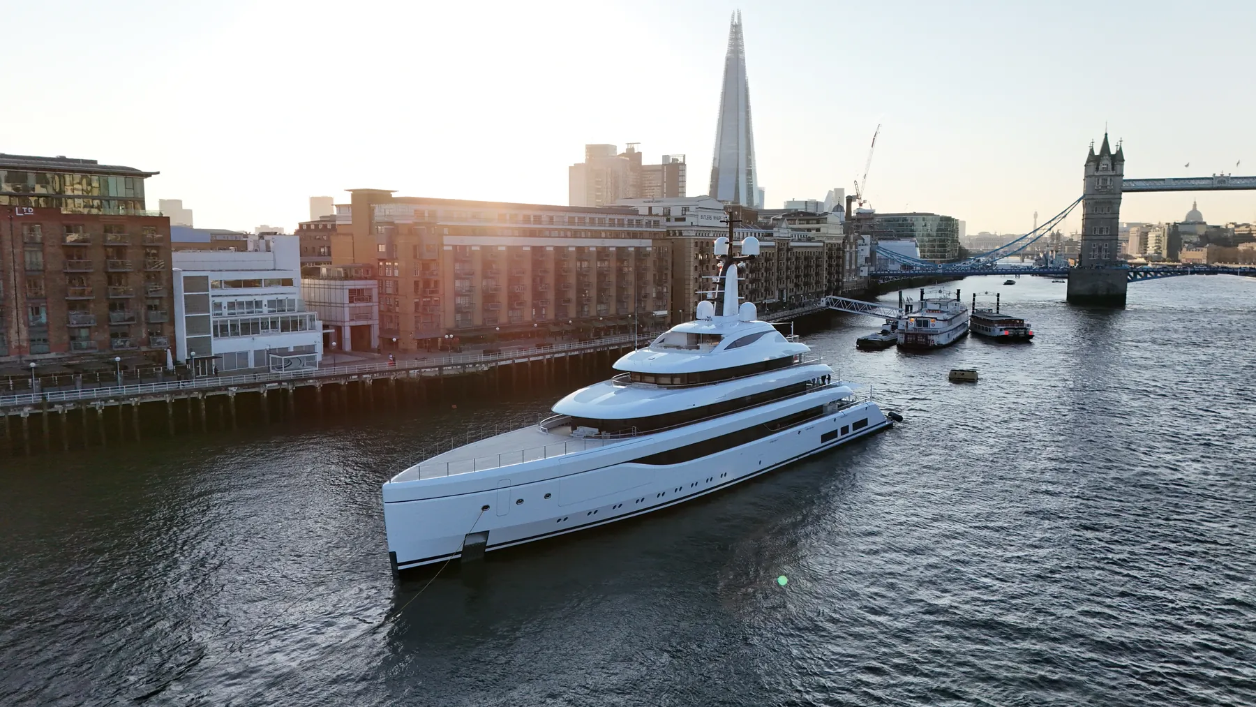
We work at Blackwall Reach regularly, and river operations are the core of what we do. That combination of aviation and marine crew is what makes over-water work practical rather than theoretical. Early starts are normal here, because the best water and the best light rarely coincide with office hours.
We survey the Blackwall Reach bank and the water in advance to fix take-off, landing and contingency points. Dual-operator setups let the pilot hold visual line of sight while the camera tracks independently. Flights are kept tight, because on the river loiter time costs you the tide rather than buying better footage.
Riparian landowners and pier operators at Blackwall Reach are contacted ahead of the date. Emergency landing points are identified on the bank or on a vessel before take-off, never improvised. We would rather lose a tide and rebook than fly a marginal over-water operation.
Delivery is by secure cloud transfer with the raw capture archived as backup. Share the brief and we will confirm crew availability against the tide table the same day. Tell us the deadline first, because on the river it decides almost everything else.
Marine Specifications in Blackwall Reach
Other River Services at Blackwall Reach
Nearby Thames Reaches & Areas
Thames Towage Filming at Greenwich Reach
Specialist marine drone flights available over the Greenwich Reach reach.
View Reach Details →Thames Towage Filming at Bugsby's Reach
Specialist marine drone flights available over the Bugsby's Reach reach.
View Reach Details →Thames Towage Filming at Limehouse Reach
Specialist marine drone flights available over the Limehouse Reach reach.
View Reach Details →Thames Towage Filming at Woolwich Reach
Specialist marine drone flights available over the Woolwich Reach reach.
View Reach Details →Book River Filming
Drone operations at Blackwall Reach require Port of London Authority clearance and skipper-coordinated flight paths.
Request River BookingThames Operational Specs
- PLA Coordination Managed
- VHF Radio Pilot Logs
- MCA-Coded Support Vessels
- £10M Maritime Insurance
- GPS Tracked Over-Water Flights
- Wind-shear resistant platforms
Frequently Asked Questions
What deliverables can you provide from Blackwall Reach?
Broadcast-ready video, high-resolution stills, georeferenced orthomosaics of the bank and foreshore, 3D models, or written inspection reports. Raw capture is handed over on the day and processed output follows within 24 to 48 hours.
How do you manage wind and weather on the river?
The Thames corridor funnels wind and can be considerably rougher than the surrounding streets. We work to maritime forecasts and fly platforms rated to around 25 knots, so a marginal day does not automatically cost you the shoot.
Who owns the footage from the Blackwall Reach shoot?
Licensing is agreed before the flight and written into the quote. Tell us whether the material is for broadcast, marketing, an operational record or a planning submission and we scope the licence accordingly.