

FPV Drone Filming in WC1E
FPV drone filming in WC1E, quoted per job and delivered to a spec you agree up front.
Recent Work
Selected work from across London and the Thames.

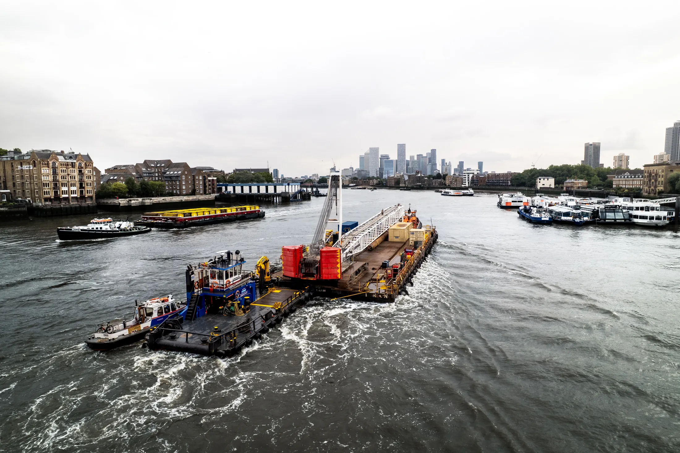
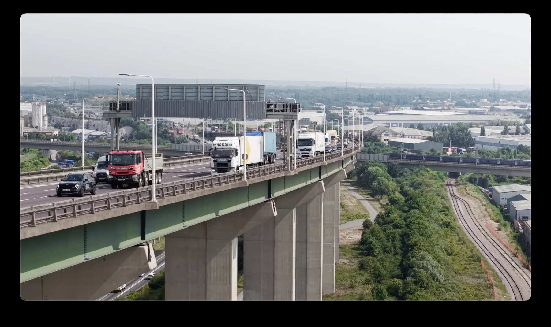
WC1E is a regular destination for our FPV drone filming crews. The mix runs from property and construction through to events and editorial. Quotes hold; we do not revise them once the job is agreed.
The right altitude for any WC1E site depends entirely on what you are trying to show. Some WC1E streets simply have nowhere safe to launch, and we will say so. We hold current airspace knowledge for West Central London as a whole, WC1E included.
Where the site in WC1E sits near controlled airspace or sensitive infrastructure, we arrange the clearances first. Kit is chosen per brief, from sub-250g aircraft for tight spaces to RTK platforms for centimetre accuracy. Neighbouring properties are considered before the flight path is set.
Insurance certificates and CAA documentation are issued on request ahead of any WC1E booking. Give us the site details and we will confirm feasibility and cost before you commit. Every job gets a written brief confirmation before we mobilise.
What's Included
Get a Quote for WC1E
Get in touch to discuss your FPV drone filming requirements in WC1E.
Request QuoteOther Services in WC1E
Frequently Asked Questions
What happens if the weather is bad on the day?
We monitor forecasts in the days before the flight and will tell you early if it looks marginal. If conditions make the flight unsafe we rebook the next clear window at no extra cost.
Can you fly drones in WC1E?
Yes. We hold the necessary permissions to operate safely in WC1E. Every operation includes a full risk assessment and coordination with local authorities or airspace controllers where required.
What do we actually receive at the end?
That depends on the brief: graded video, high-resolution stills, orthomosaic maps, 3D models or an inspection report. Raw capture is handed over on the day and finished output follows by secure cloud transfer.