

FPV Drone Filming in N12
A CAA-approved, £10M-insured crew for FPV drone filming anywhere in N12.
Recent Work
Selected work from across London and the Thames.

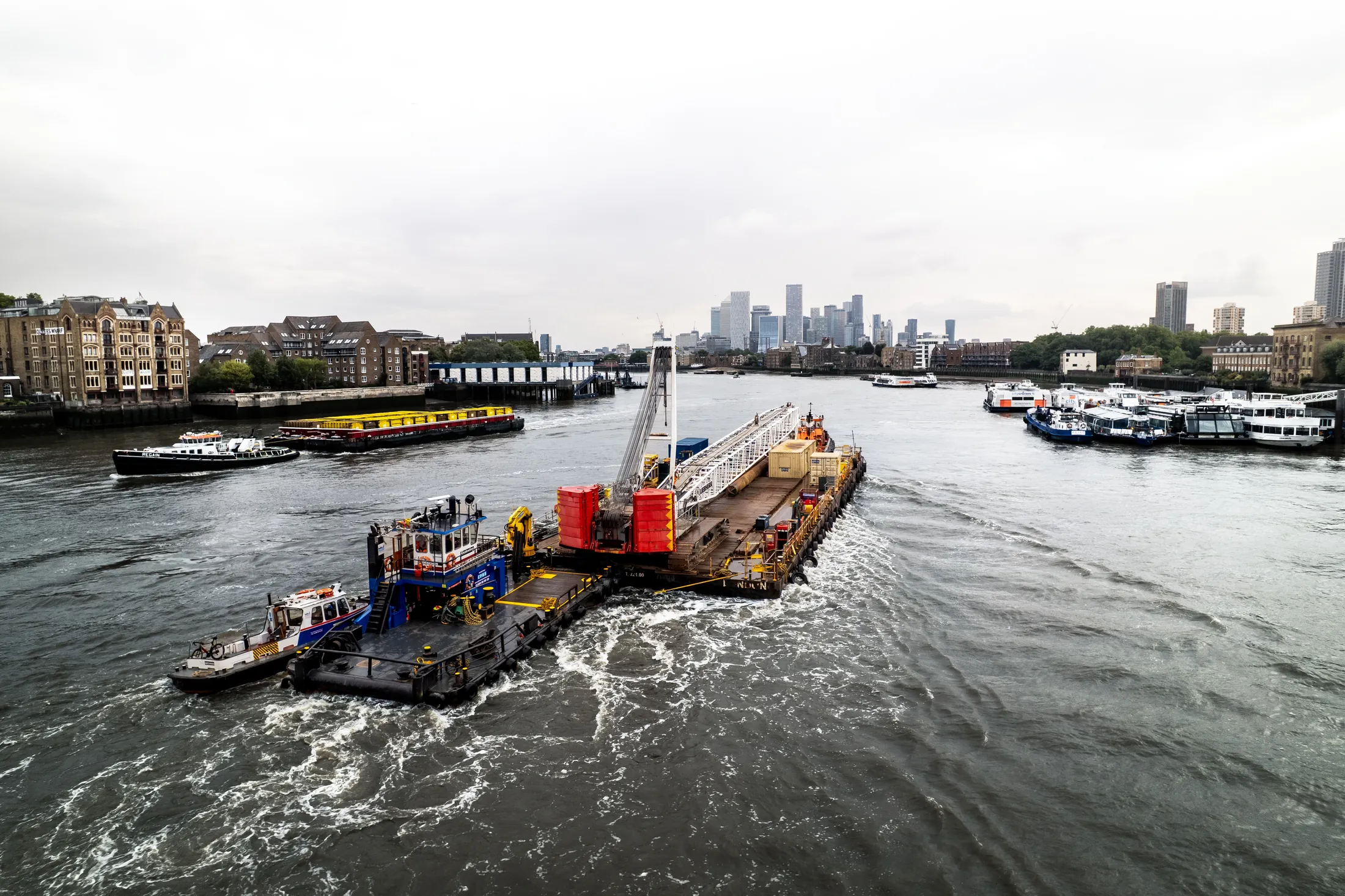
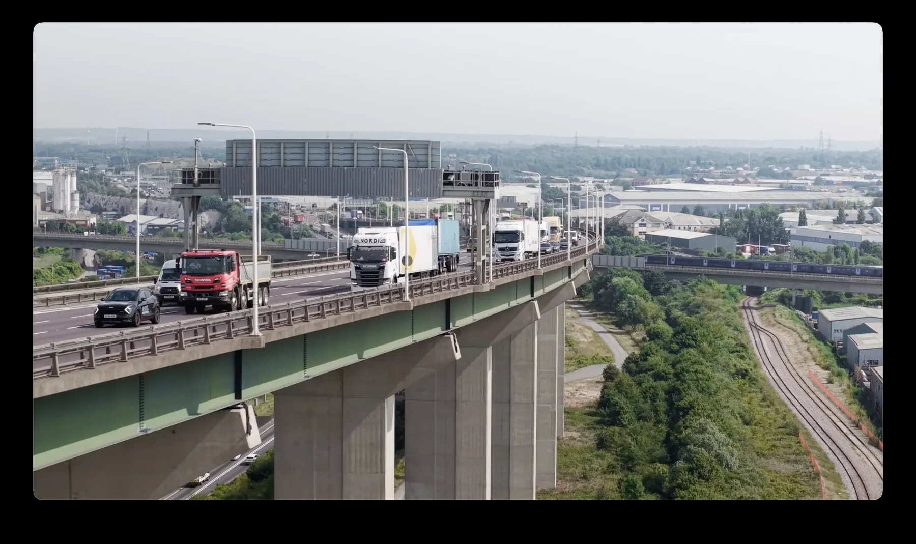
Booking FPV drone filming in N12 puts a CAA-approved crew on site with the permissions already in place. Clients here range from developers and contractors to production companies, agents and event organisers. We are happy to quote two or three approaches so you can compare.
Aerial work in N12 tends to answer a question that ground-level images cannot. Local access, not airspace, is often the real constraint on work in N12. We work the whole of North London, so N12 is rarely a standalone trip.
Any N12 flight close to controlled airspace gets NATS or ATC coordination arranged in advance. Where the output is data rather than footage, we fly RTK-equipped platforms for survey-grade accuracy. Crew brief happens on site, in front of whoever is responsible for the ground.
Crews carry their permissions on site and brief your ground staff before the first flight. File formats are agreed up front so nothing needs converting later. Where a second visit is our fault, it is at our cost.
What's Included
Get a Quote for N12
Get in touch to discuss your FPV drone filming requirements in N12.
Request QuoteOther Services in N12
Frequently Asked Questions
How long will you be on site in N12?
Most single-subject jobs take one to three hours on site including setup, briefing and packing down. Larger sites, multiple elevations or survey work take longer, and we confirm the expected window when we quote.
Can you work around a live site in N12?
Yes. We plan around access routes, working hours and pedestrian movement, and can schedule flights for quieter windows to keep ground risk down. Cordons and marshalling are agreed in advance rather than arranged on the day.
What do we actually receive at the end?
That depends on the brief: graded video, high-resolution stills, orthomosaic maps, 3D models or an inspection report. Raw capture is handed over on the day and finished output follows by secure cloud transfer.