

Drone Inspection in TW4
We cover TW4 for drone inspection, with the airspace checks, risk assessment and clearances handled before the crew arrives.
Recent Work
Selected work from across London and the Thames.

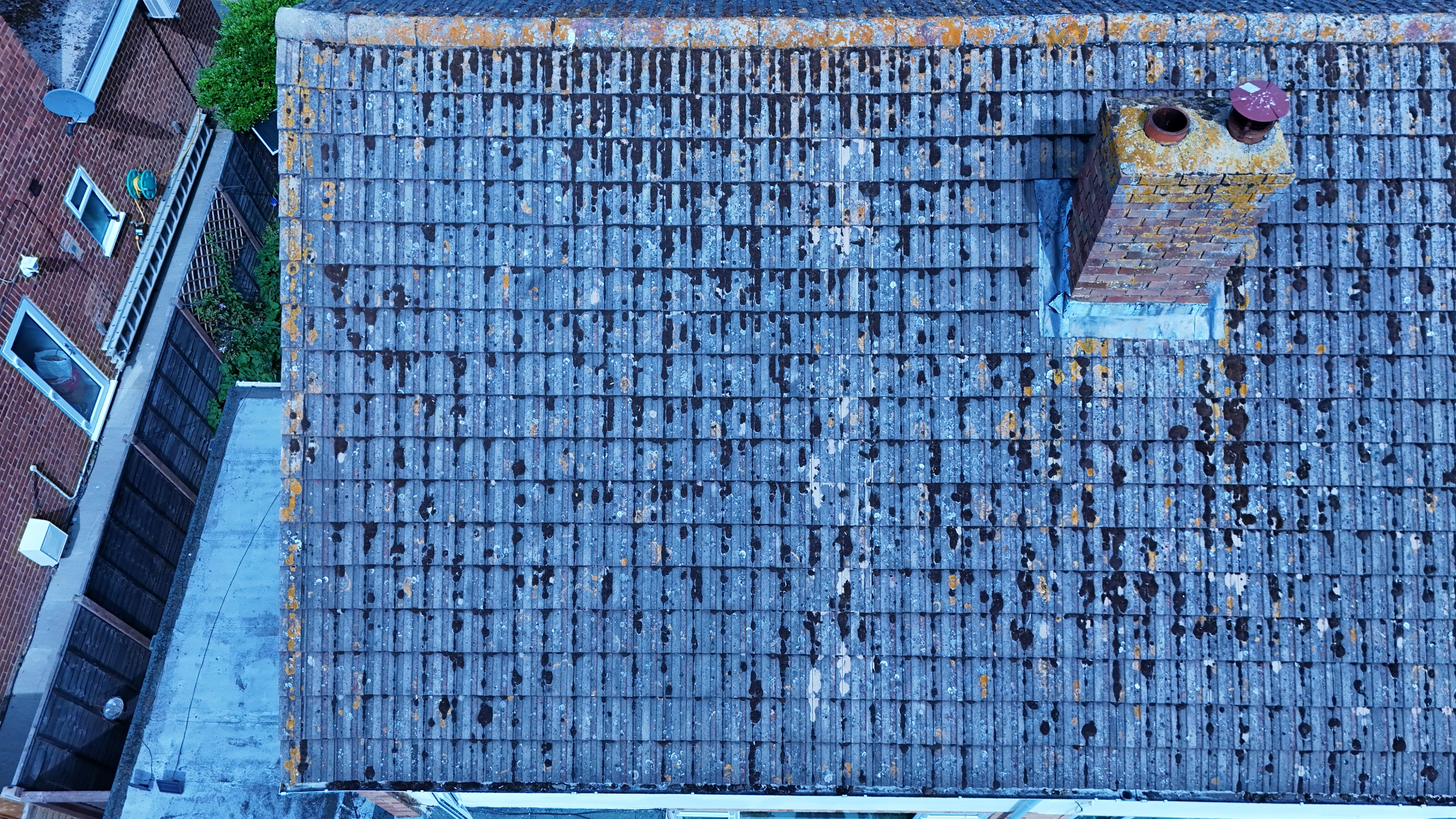

We deliver drone inspection throughout TW4 for commercial and private clients alike. Clients here range from developers and contractors to production companies, agents and event organisers. We can attend a pre-start meeting where the site requires one.
An aerial set of the site gives you context that a street-level photograph loses. Where TW4 sits under a flight path, timings matter more than usual. Clients in TW4 often have sites elsewhere in Twickenham, and we can cover both on one mobilisation.
We assess the TW4 location in advance, on foot or from mapping, before any aircraft leaves the case. The aircraft is chosen after the brief is understood, not before. Our risk assessments are written to be read, not to tick a box.
Our permissions and £10M public liability cover apply to all work in TW4. File formats are agreed up front so nothing needs converting later. Our quotes set out what is included so there is nothing to argue about afterwards.
What's Included
Get a Quote for TW4
Get in touch to discuss your drone inspection requirements in TW4.
Request QuoteOther Services in TW4
Frequently Asked Questions
Are you CAA approved?
Yes. UAS London is fully CAA approved with enhanced permissions for commercial drone operations in built-up areas. We carry £10M public liability insurance.
How long will you be on site in TW4?
Most single-subject jobs take one to three hours on site including setup, briefing and packing down. Larger sites, multiple elevations or survey work take longer, and we confirm the expected window when we quote.
What do we actually receive at the end?
That depends on the brief: graded video, high-resolution stills, orthomosaic maps, 3D models or an inspection report. Raw capture is handed over on the day and finished output follows by secure cloud transfer.