

Drone Inspection in IG4
IG4 is inside our regular operating area. Our drone inspection crews mobilise quickly and arrive with the paperwork already done.
Recent Work
Selected work from across London and the Thames.

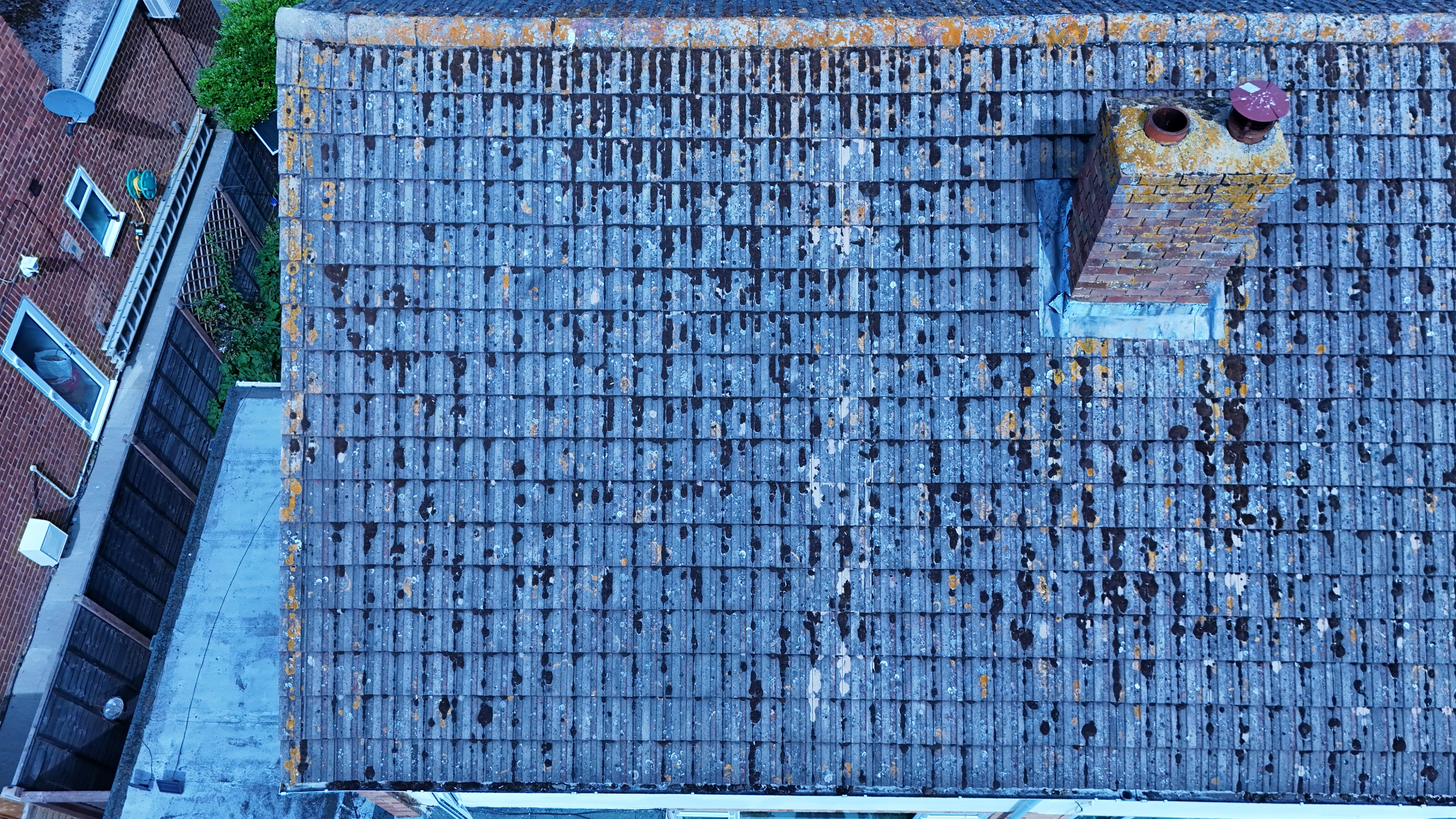

Our drone inspection work reaches every part of IG4. Projects here run from quick property shoots to multi-day commercial productions. Where you need stills and video, they come from one visit rather than two.
Whether the IG4 material ends up in a brochure or a report changes how we shoot it. Local access, not airspace, is often the real constraint on work in IG4. Sites across Ilford get the same crews and the same standards as IG4.
We assess the IG4 location in advance, on foot or from mapping, before any aircraft leaves the case. The aircraft is chosen after the brief is understood, not before. We do not fly outside our permissions, whatever the deadline looks like.
Permissions, insurance and the risk assessment are all available before the flight rather than after it. Send the IG4 address and the brief, and we will come back with a fixed price. Our quotes set out what is included so there is nothing to argue about afterwards.
What's Included
Get a Quote for IG4
Get in touch to discuss your drone inspection requirements in IG4.
Request QuoteOther Services in IG4
Frequently Asked Questions
What happens if the weather is bad on the day?
We monitor forecasts in the days before the flight and will tell you early if it looks marginal. If conditions make the flight unsafe we rebook the next clear window at no extra cost.
Can you work around a live site in IG4?
Yes. We plan around access routes, working hours and pedestrian movement, and can schedule flights for quieter windows to keep ground risk down. Cordons and marshalling are agreed in advance rather than arranged on the day.
What do we actually receive at the end?
That depends on the brief: graded video, high-resolution stills, orthomosaic maps, 3D models or an inspection report. Raw capture is handed over on the day and finished output follows by secure cloud transfer.