

Drone Inspection in CR0
A CAA-approved, £10M-insured crew for drone inspection anywhere in CR0.
Recent Work
Selected work from across London and the Thames.

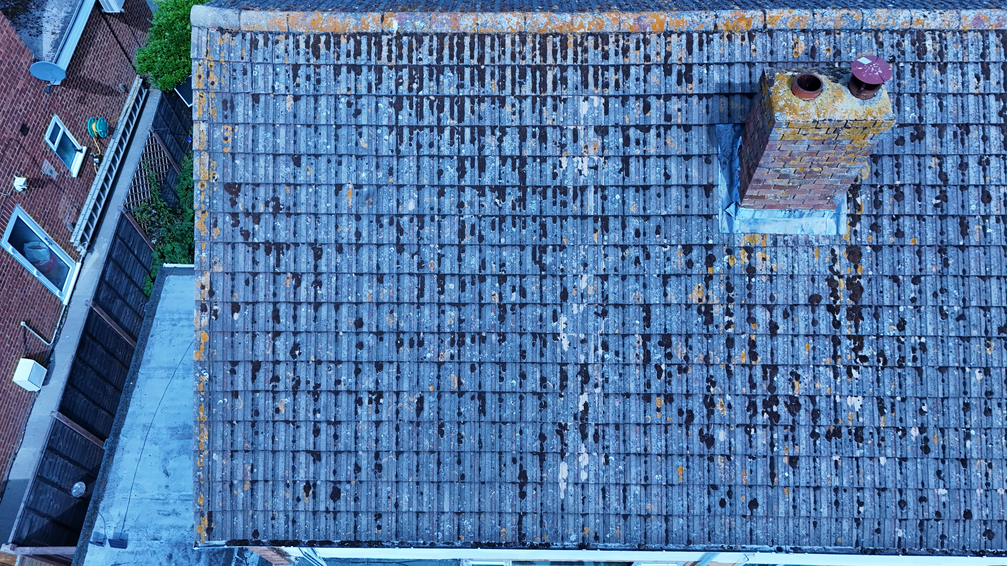

If your site falls in CR0, our drone inspection team can plan and fly it under existing CAA permissions. Jobs come in from main contractors, subcontractors and the client side directly. Quotes hold; we do not revise them once the job is agreed.
Aerial work in CR0 tends to answer a question that ground-level images cannot. London airspace is not uniform, and CR0 has its own constraints to work around. We hold current airspace knowledge for Croydon as a whole, CR0 included.
The CR0 operating plan is written before the crew is scheduled, not after. Everything is captured at the highest quality the job can actually use. We fly the plan that was agreed, and flag it if the site has changed since.
We are CAA approved and insured to £10M public liability on every job. Send the CR0 address and the brief, and we will come back with a fixed price. If we get something wrong, we go back and reshoot it.
What's Included
Get a Quote for CR0
Get in touch to discuss your drone inspection requirements in CR0.
Request QuoteOther Services in CR0
Frequently Asked Questions
Do we need permission from the landowner or council?
Take-off and landing need the landowner's permission, and we will tell you whose it is before the date. Where a council, managing agent or estate needs sight of our CAA authorisation, insurance or risk assessment, we supply the paperwork directly.
Can you fly drones in CR0?
Yes. We hold the necessary permissions to operate safely in CR0. Every operation includes a full risk assessment and coordination with local authorities or airspace controllers where required.
What do we actually receive at the end?
That depends on the brief: graded video, high-resolution stills, orthomosaic maps, 3D models or an inspection report. Raw capture is handed over on the day and finished output follows by secure cloud transfer.