

Drone Filming in NW1W
Our drone filming operations reach every part of NW1W, with raw files back the same day and edits inside 48 hours.
Recent Work
Selected work from across London and the Thames.
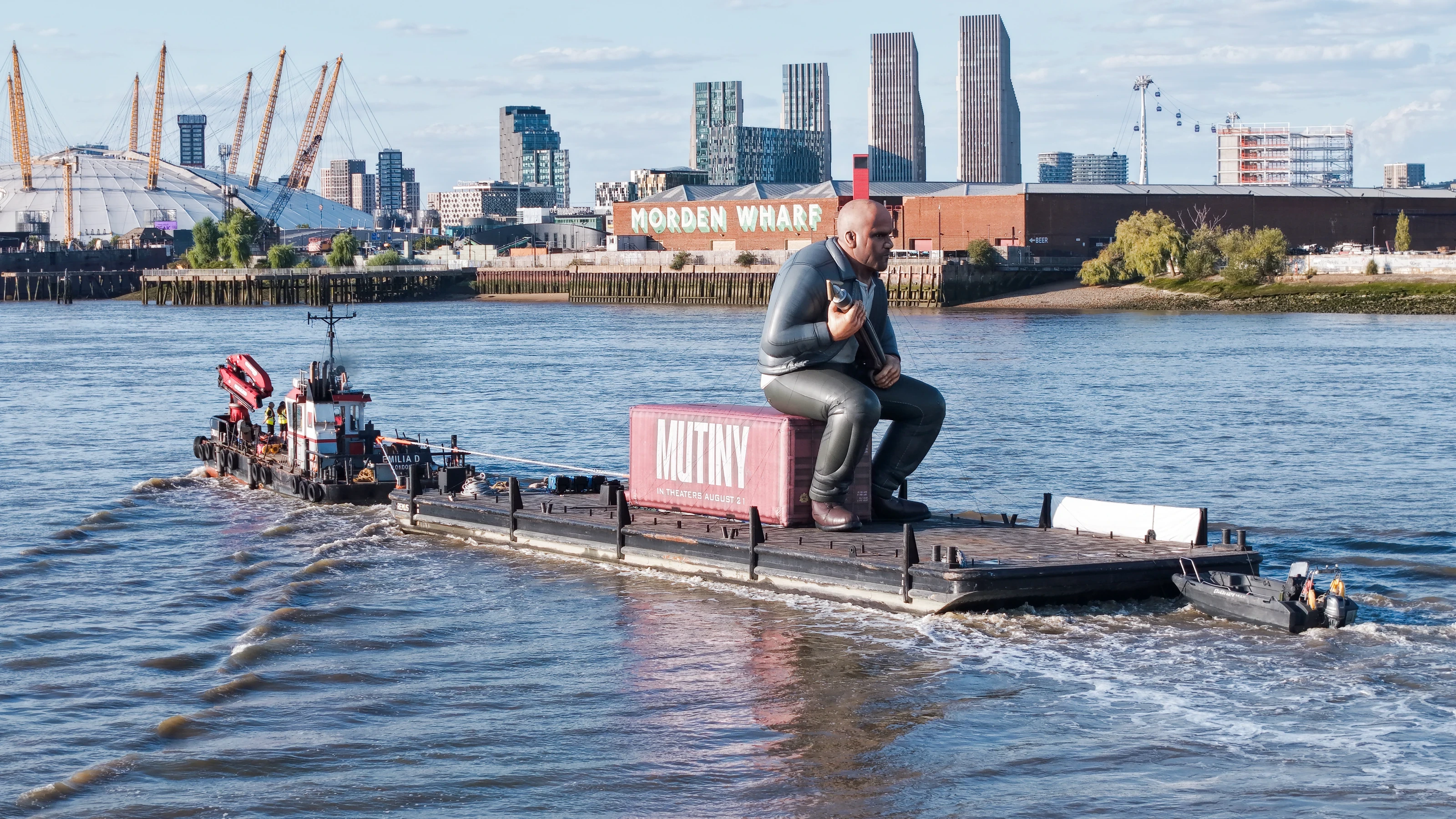
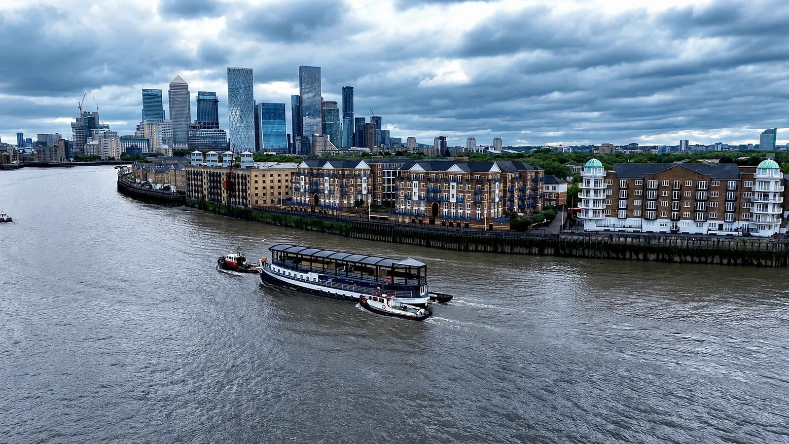
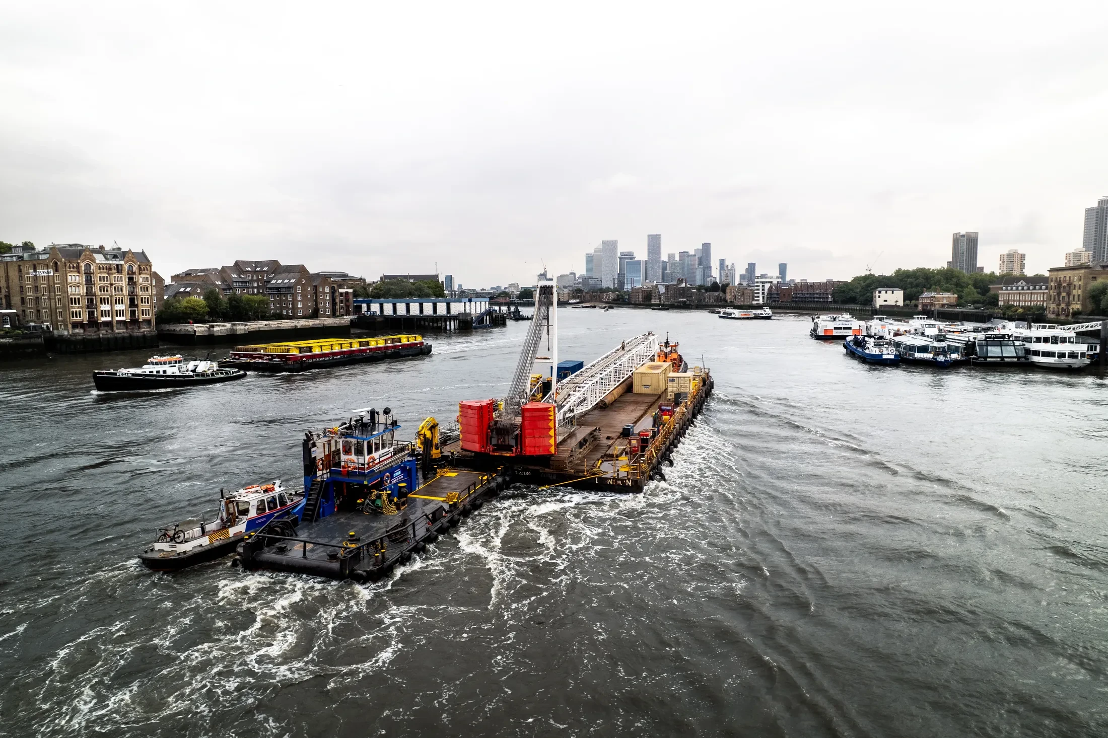
We deliver drone filming throughout NW1W for commercial and private clients alike. Typical jobs cover commercial premises, residential developments, industrial units and open sites. Where a job spans several sites, we can cover them in one mobilisation.
What comes back from the NW1W flight should stand on its own without explanation. London airspace is not uniform, and NW1W has its own constraints to work around. North West London is a regular working area for us, and NW1W is part of it.
We confirm what permissions the NW1W site needs before anything is booked in. Two-operator setups are available where the shot needs independent camera control. Neighbouring properties are considered before the flight path is set.
Insurance certificates and CAA documentation are issued on request ahead of any NW1W booking. Send the NW1W address and the brief, and we will come back with a fixed price. Questions get answered by someone who has actually flown the site.
What's Included
Get a Quote for NW1W
Get in touch to discuss your drone filming requirements in NW1W.
Request QuoteOther Services in NW1W
Frequently Asked Questions
What does a shoot in NW1W cost?
Price depends on the site, the flight time and the deliverables, so we quote per job rather than from a rate card. Send us the NW1W address and a short brief and we will come back with a fixed, obligation-free price.
Can you fly indoors or in enclosed spaces?
Yes, with sub-250g aircraft and appropriate planning. Enclosed and confined spaces need their own risk assessment and often a different platform, so tell us about the environment early and we will confirm what is workable.
What do we actually receive at the end?
That depends on the brief: graded video, high-resolution stills, orthomosaic maps, 3D models or an inspection report. Raw capture is handed over on the day and finished output follows by secure cloud transfer.