

Drone Filming in IG1
We fly drone filming throughout IG1, planned and permitted before the crew arrives on site.
Recent Work
Selected work from across London and the Thames.
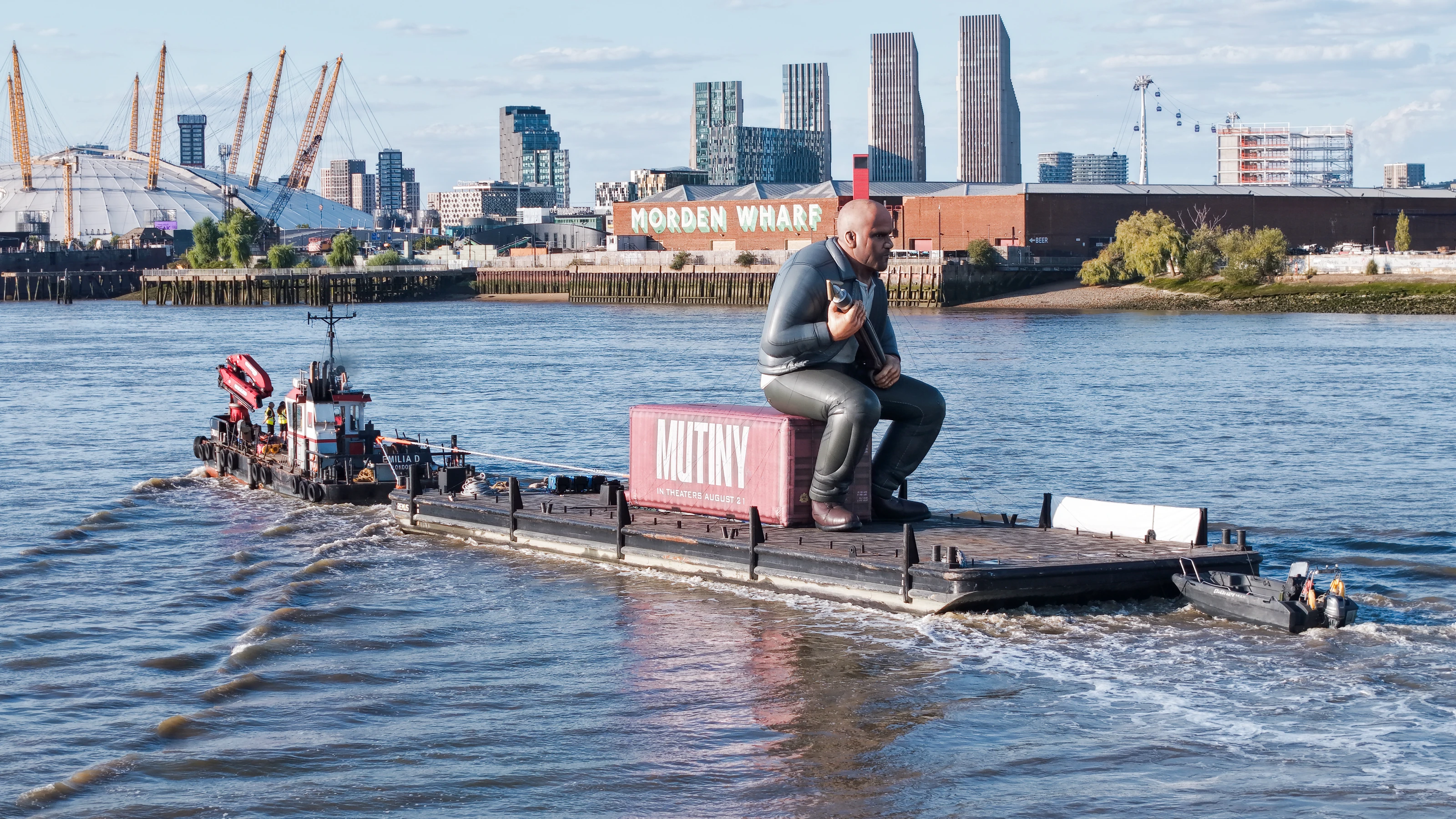
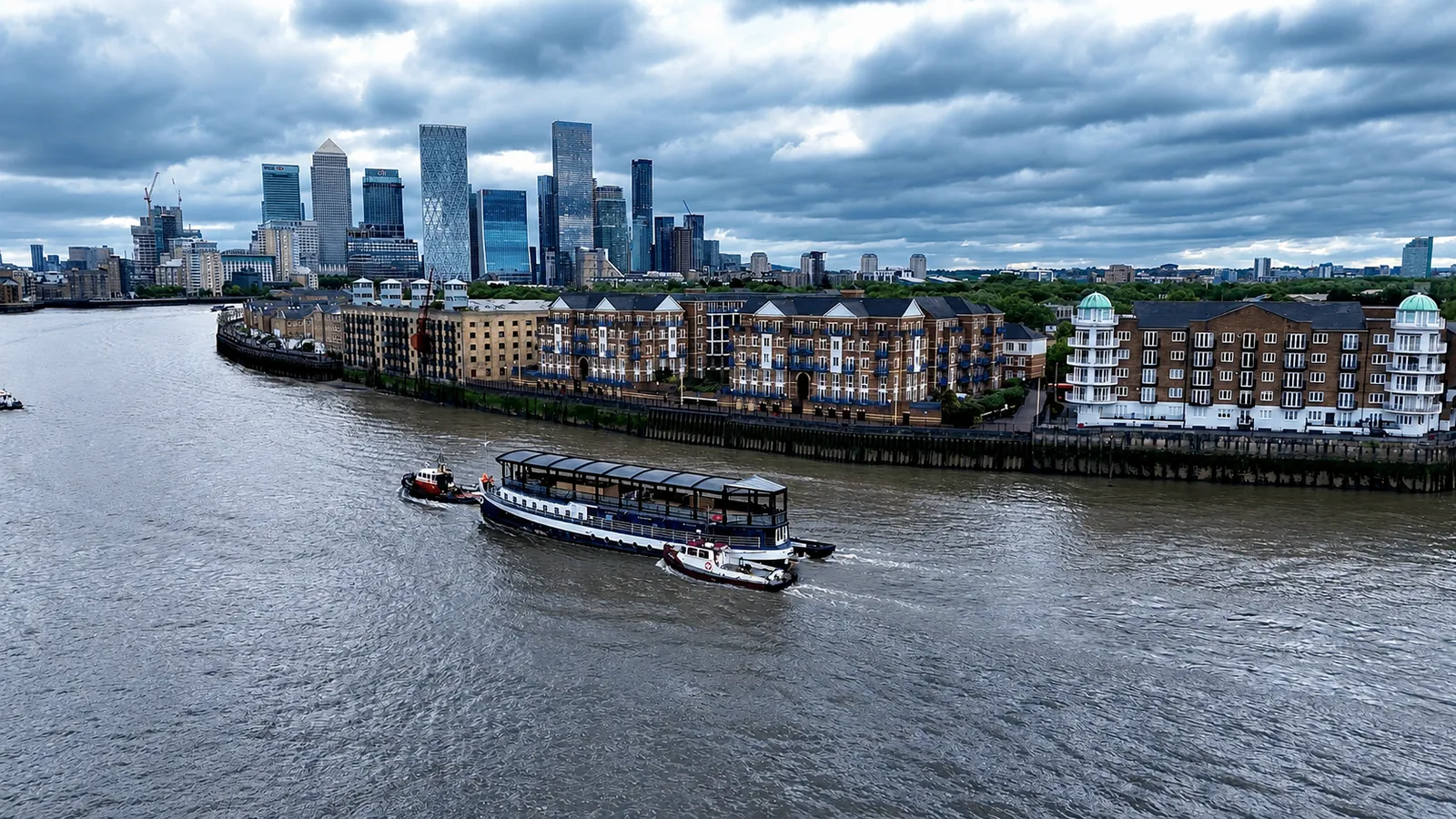
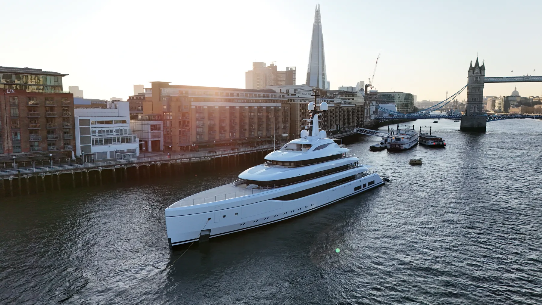
We deliver drone filming throughout IG1 for commercial and private clients alike. We handle both one-off commissions and scheduled repeat visits for ongoing projects. We will say plainly if a drone is the wrong tool for what you are trying to show.
Most IG1 clients are after material they can put straight in front of someone. Height limits, restricted zones and helicopter routes all vary across London, IG1 included. We work the whole of Ilford, so IG1 is rarely a standalone trip.
Each IG1 job is planned around the site itself: access, take-off points, overflight and people on the ground. We carry enough kit to change approach on site if conditions demand it. Neighbouring properties are considered before the flight path is set.
Where a landowner, managing agent or council needs sight of our paperwork, we provide it up front. We can deliver in stages where a project needs early material. Questions get answered by someone who has actually flown the site.
What's Included
Frequently Asked Questions
Do you retain copyright, or do we?
Licensing is agreed before the shoot and written into the quote, so there is no ambiguity afterwards. Tell us how you intend to use the material and we will scope the licence to match.
How long will you be on site in IG1?
Most single-subject jobs take one to three hours on site including setup, briefing and packing down. Larger sites, multiple elevations or survey work take longer, and we confirm the expected window when we quote.
What do we actually receive at the end?
That depends on the brief: graded video, high-resolution stills, orthomosaic maps, 3D models or an inspection report. Raw capture is handed over on the day and finished output follows by secure cloud transfer.