

Construction Progress Monitoring in SE6
Tell us the SE6 site and the brief, and we will confirm what is possible before you commit.
Recent Work
Selected work from across London and the Thames.
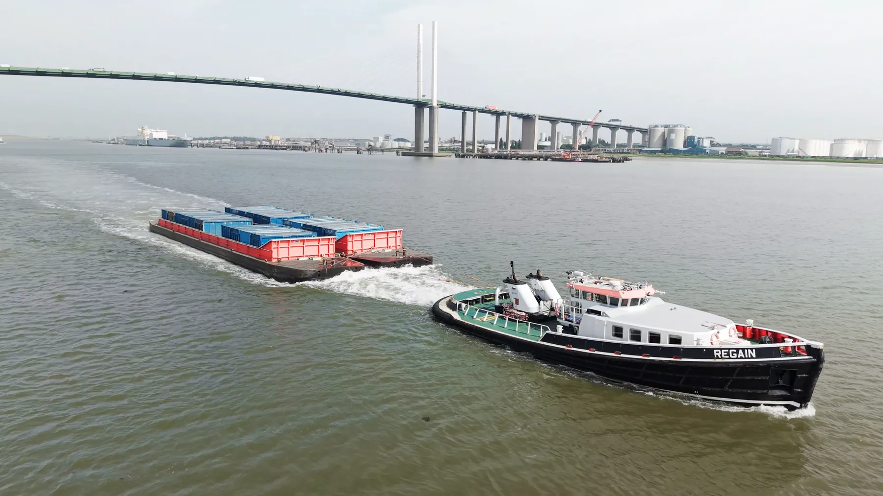
SE6 sits inside our core London coverage, and we fly there regularly. Typical jobs cover commercial premises, residential developments, industrial units and open sites. Repeat visits to the same SE6 site keep the same crew wherever we can manage it.
An aerial set of the site gives you context that a street-level photograph loses. Where SE6 sits under a flight path, timings matter more than usual. SE6 shares its airspace picture with the rest of South East London, which we already know well.
Where the site in SE6 sits near controlled airspace or sensitive infrastructure, we arrange the clearances first. Cinema, survey and inspection payloads are all available from the same crew on the same visit. Crew brief happens on site, in front of whoever is responsible for the ground.
Crews carry their permissions on site and brief your ground staff before the first flight. You get the raw capture on the day and finished deliverables within a couple of days. We keep the brief and the delivery in writing so expectations stay aligned.
What's Included
Get a Quote for SE6
Get in touch to discuss your construction progress monitoring requirements in SE6.
Request QuoteOther Services in SE6
Frequently Asked Questions
Are you insured, and can we see the certificate?
Yes. We carry £10M public liability insurance and can send the certificate, our CAA operational authorisation and a job-specific risk assessment before the booking is confirmed.
What do we actually receive at the end?
That depends on the brief: graded video, high-resolution stills, orthomosaic maps, 3D models or an inspection report. Raw capture is handed over on the day and finished output follows by secure cloud transfer.
Do we need permission from the landowner or council?
Take-off and landing need the landowner's permission, and we will tell you whose it is before the date. Where a council, managing agent or estate needs sight of our CAA authorisation, insurance or risk assessment, we supply the paperwork directly.