

Construction Progress Monitoring in NW7
Construction progress monitoring in NW7, quoted per job and delivered to a spec you agree up front.
Recent Work
Selected work from across London and the Thames.
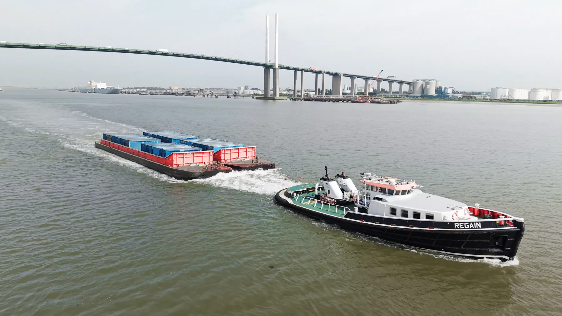
We run construction progress monitoring jobs across NW7 throughout the year. Sites vary from tight residential streets to large commercial and industrial plots. If another supplier is already engaged, we can work alongside them.
A drone reaches vantage points in NW7 that scaffolding and cherry pickers cannot justify. Traffic, pedestrians and overhead services in NW7 shape the plan as much as the regulations do. We work the whole of North West London, so NW7 is rarely a standalone trip.
We confirm what permissions the NW7 site needs before anything is booked in. We capture in RAW throughout, so there is headroom left in the grade or the processing. We keep the separation distances the regulations require from anyone not under our control.
We are CAA approved and insured to £10M public liability on every job. File formats are agreed up front so nothing needs converting later. You will know who is turning up in NW7, and when, before the day.
What's Included
Get a Quote for NW7
Get in touch to discuss your construction progress monitoring requirements in NW7.
Request QuoteOther Services in NW7
Frequently Asked Questions
Are you CAA approved?
Yes. UAS London is fully CAA approved with enhanced permissions for commercial drone operations in built-up areas. We carry £10M public liability insurance.
Do you need us to close anything off while you fly?
Usually not. Most jobs are flown with a small cordon around the take-off point and sensible separation from people on the ground. Where a site genuinely needs more, we will tell you at the planning stage rather than on the morning.
What do we actually receive at the end?
That depends on the brief: graded video, high-resolution stills, orthomosaic maps, 3D models or an inspection report. Raw capture is handed over on the day and finished output follows by secure cloud transfer.