

Construction Progress Monitoring in KT19
We cover KT19 for construction progress monitoring, with the airspace checks, risk assessment and clearances handled before the crew arrives.
Recent Work
Selected work from across London and the Thames.
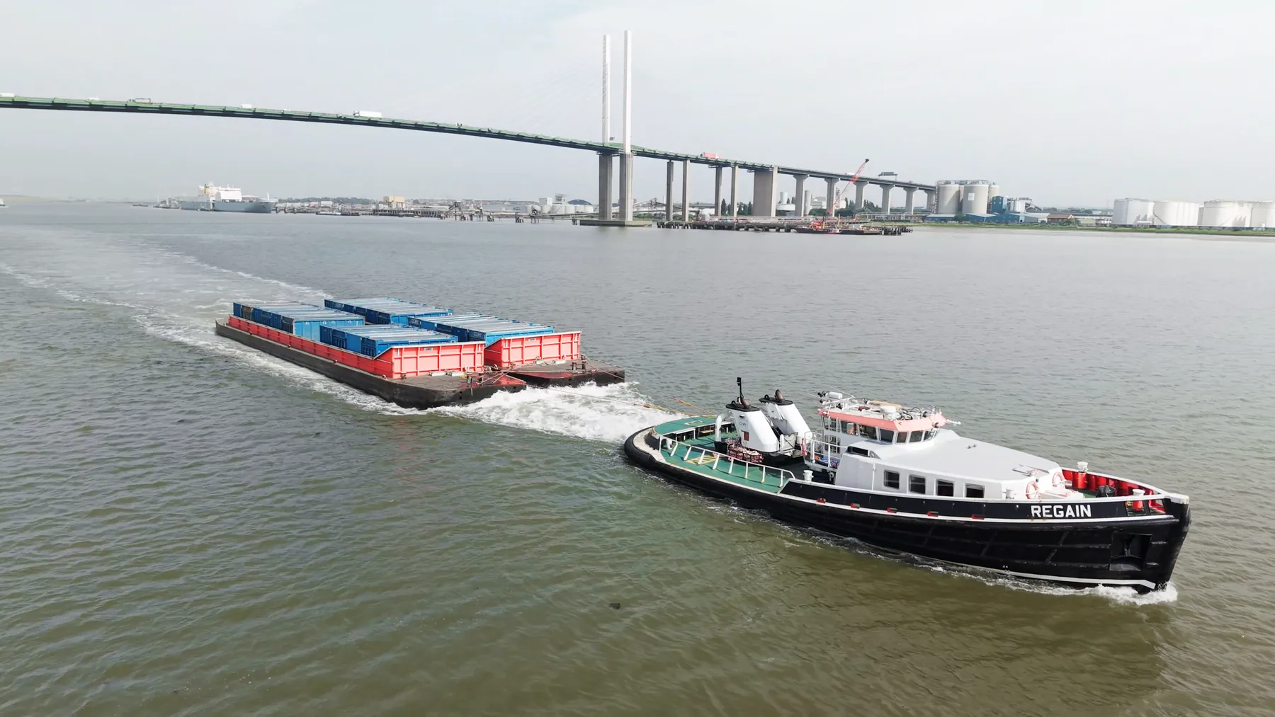
KT19 is a regular destination for our construction progress monitoring crews. Jobs come in from main contractors, subcontractors and the client side directly. We will say plainly if a drone is the wrong tool for what you are trying to show.
Aerial work in KT19 tends to answer a question that ground-level images cannot. Where KT19 sits under a flight path, timings matter more than usual. KT19 shares its airspace picture with the rest of Kingston upon Thames, which we already know well.
Where the site in KT19 sits near controlled airspace or sensitive infrastructure, we arrange the clearances first. We capture in RAW throughout, so there is headroom left in the grade or the processing. We keep the separation distances the regulations require from anyone not under our control.
Every operation runs under our CAA authorisation with £10M public liability cover in place. You get the raw capture on the day and finished deliverables within a couple of days. Where a second visit is our fault, it is at our cost.
What's Included
Get a Quote for KT19
Get in touch to discuss your construction progress monitoring requirements in KT19.
Request QuoteOther Services in KT19
Frequently Asked Questions
Do you retain copyright, or do we?
Licensing is agreed before the shoot and written into the quote, so there is no ambiguity afterwards. Tell us how you intend to use the material and we will scope the licence to match.
Can you fly drones in KT19?
Yes. We hold the necessary permissions to operate safely in KT19. Every operation includes a full risk assessment and coordination with local authorities or airspace controllers where required.
What do we actually receive at the end?
That depends on the brief: graded video, high-resolution stills, orthomosaic maps, 3D models or an inspection report. Raw capture is handed over on the day and finished output follows by secure cloud transfer.