

Construction Progress Monitoring in E10
Construction progress monitoring in E10, quoted per job and delivered to a spec you agree up front.
Recent Work
Selected work from across London and the Thames.
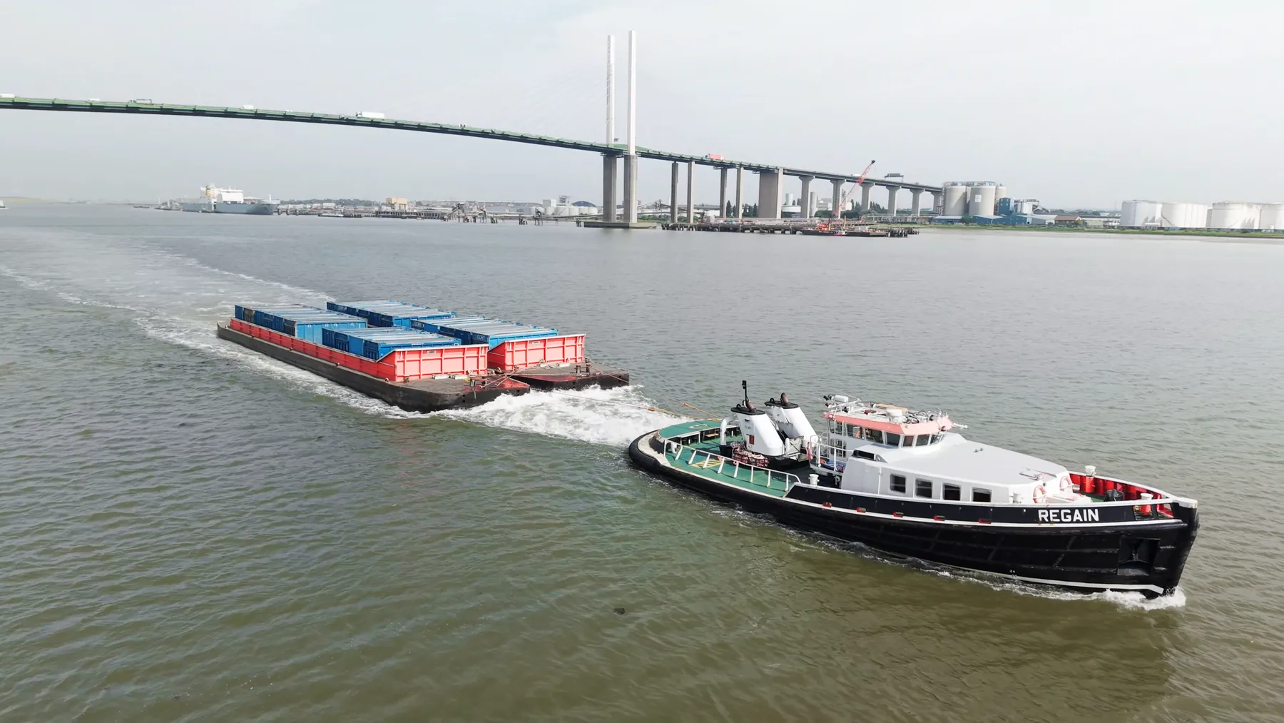
E10 is well within our operating radius, so mobilising a crew there is straightforward. Some clients book us once; others keep us on a monthly cycle. Where you need stills and video, they come from one visit rather than two.
Aerial work in E10 tends to answer a question that ground-level images cannot. Where E10 sits under a flight path, timings matter more than usual. Our coverage of East London means a crew can reach E10 without a long transit.
Airspace over E10 is checked on the day as well as at the planning stage. Everything is captured at the highest quality the job can actually use. If the airspace makes the job impossible, you will hear that at the enquiry stage.
Where a landowner, managing agent or council needs sight of our paperwork, we provide it up front. You get the raw capture on the day and finished deliverables within a couple of days. If we get something wrong, we go back and reshoot it.
What's Included
Get a Quote for E10
Get in touch to discuss your construction progress monitoring requirements in E10.
Request QuoteOther Services in E10
Frequently Asked Questions
How quickly can you deliver?
We offer same-day turnaround for urgent projects. Standard delivery is within 24-48 hours.
What happens if the weather is bad on the day?
We monitor forecasts in the days before the flight and will tell you early if it looks marginal. If conditions make the flight unsafe we rebook the next clear window at no extra cost.
What do we actually receive at the end?
That depends on the brief: graded video, high-resolution stills, orthomosaic maps, 3D models or an inspection report. Raw capture is handed over on the day and finished output follows by secure cloud transfer.