

Construction Progress Monitoring in CR4
We cover CR4 for construction progress monitoring, with the airspace checks, risk assessment and clearances handled before the crew arrives.
Recent Work
Selected work from across London and the Thames.
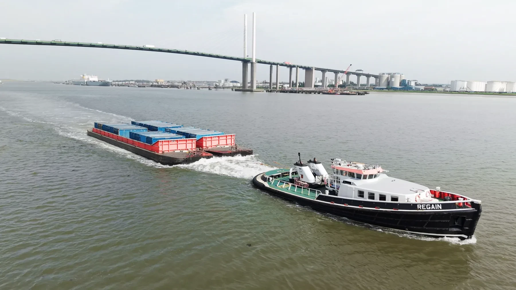
We run construction progress monitoring jobs across CR4 throughout the year. That includes new-build developments, refurbishment sites, commercial premises and public events. Repeat visits to the same CR4 site keep the same crew wherever we can manage it.
Aerial work in CR4 tends to answer a question that ground-level images cannot. Every London district has its own mix of obstacles, and CR4 is no exception. Because CR4 falls under Croydon, we can usually combine it with nearby districts in one visit.
The CR4 operating plan is written before the crew is scheduled, not after. Longer lenses let us keep distance from people and property without losing detail. Neighbouring properties are considered before the flight path is set.
We are happy to be added to a principal contractor's approved supplier list. Turnaround is same-day for raw material and 24 to 48 hours for edits, maps or reports. We would rather explain a constraint up front than surprise you with it later.
What's Included
Get a Quote for CR4
Get in touch to discuss your construction progress monitoring requirements in CR4.
Request QuoteOther Services in CR4
Frequently Asked Questions
Can you fly indoors or in enclosed spaces?
Yes, with sub-250g aircraft and appropriate planning. Enclosed and confined spaces need their own risk assessment and often a different platform, so tell us about the environment early and we will confirm what is workable.
What do we actually receive at the end?
That depends on the brief: graded video, high-resolution stills, orthomosaic maps, 3D models or an inspection report. Raw capture is handed over on the day and finished output follows by secure cloud transfer.
Do we need permission from the landowner or council?
Take-off and landing need the landowner's permission, and we will tell you whose it is before the date. Where a council, managing agent or estate needs sight of our CAA authorisation, insurance or risk assessment, we supply the paperwork directly.