

Construction Drone Filming in WC2H
Our construction drone filming crews work WC2H and the districts around it throughout the year.
Recent Work
Selected work from across London and the Thames.
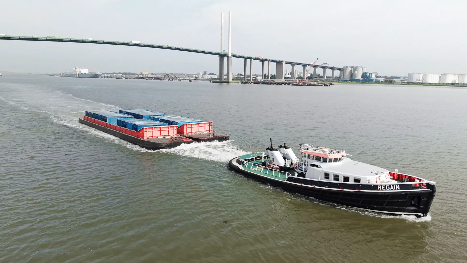
Getting a crew into WC2H is a short job for us rather than a special arrangement. The mix runs from property and construction through to events and editorial. We are happy to work alongside a ground photographer or video crew already on site.
Height changes what the site communicates: context, scale and progress all read differently. We already know which parts of WC2H need extra lead time and which do not. Because WC2H falls under West Central London, we can usually combine it with nearby districts in one visit.
Flight planning for WC2H accounts for restricted airspace, local infrastructure and pedestrian movement. Depending on the deliverable that might be the Inspire 3 for 8K, a Mavic for reach, or a Matrice for mapping. Neighbouring properties are considered before the flight path is set.
Permissions, insurance and the risk assessment are all available before the flight rather than after it. File formats are agreed up front so nothing needs converting later. We do not add charges after the fact for travel or parking in WC2H.
What's Included
Get a Quote for WC2H
Get in touch to discuss your construction drone filming requirements in WC2H.
Request QuoteOther Services in WC2H
Frequently Asked Questions
Do we need permission from the landowner or council?
Take-off and landing need the landowner's permission, and we will tell you whose it is before the date. Where a council, managing agent or estate needs sight of our CAA authorisation, insurance or risk assessment, we supply the paperwork directly.
Can you fly drones in WC2H?
Yes. We hold the necessary permissions to operate safely in WC2H. Every operation includes a full risk assessment and coordination with local authorities or airspace controllers where required.
What do we actually receive at the end?
That depends on the brief: graded video, high-resolution stills, orthomosaic maps, 3D models or an inspection report. Raw capture is handed over on the day and finished output follows by secure cloud transfer.