

Construction Drone Filming in EN3
Construction drone filming in EN3, quoted per job and delivered to a spec you agree up front.
Recent Work
Selected work from across London and the Thames.
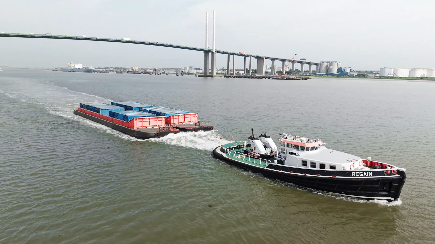
We know the airspace picture over EN3 before we quote on it. Sites vary from tight residential streets to large commercial and industrial plots. We can attend a pre-start meeting where the site requires one.
The right altitude for any EN3 site depends entirely on what you are trying to show. Tall structures around EN3 affect both signal and wind, and we plan for both. Our coverage of Enfield means a crew can reach EN3 without a long transit.
Where the site in EN3 sits near controlled airspace or sensitive infrastructure, we arrange the clearances first. Payload choice follows the deliverable, whether that is a frame or a measurement. We would rather stand down and rebook than fly a marginal operation.
Every operation runs under our CAA authorisation with £10M public liability cover in place. If weather stops the flight we rebook the next clear window at no extra cost. The same pilot who plans the EN3 job is usually the one who flies it.
What's Included
Get a Quote for EN3
Get in touch to discuss your construction drone filming requirements in EN3.
Request QuoteOther Services in EN3
Frequently Asked Questions
Do you retain copyright, or do we?
Licensing is agreed before the shoot and written into the quote, so there is no ambiguity afterwards. Tell us how you intend to use the material and we will scope the licence to match.
Can you fly drones in EN3?
Yes. We hold the necessary permissions to operate safely in EN3. Every operation includes a full risk assessment and coordination with local authorities or airspace controllers where required.
What do we actually receive at the end?
That depends on the brief: graded video, high-resolution stills, orthomosaic maps, 3D models or an inspection report. Raw capture is handed over on the day and finished output follows by secure cloud transfer.