

Roof & Asset Condition Surveys in HA1
Roof & asset condition surveys in HA1, quoted per job and delivered to a spec you agree up front.
Recent Work
Selected work from across London and the Thames.


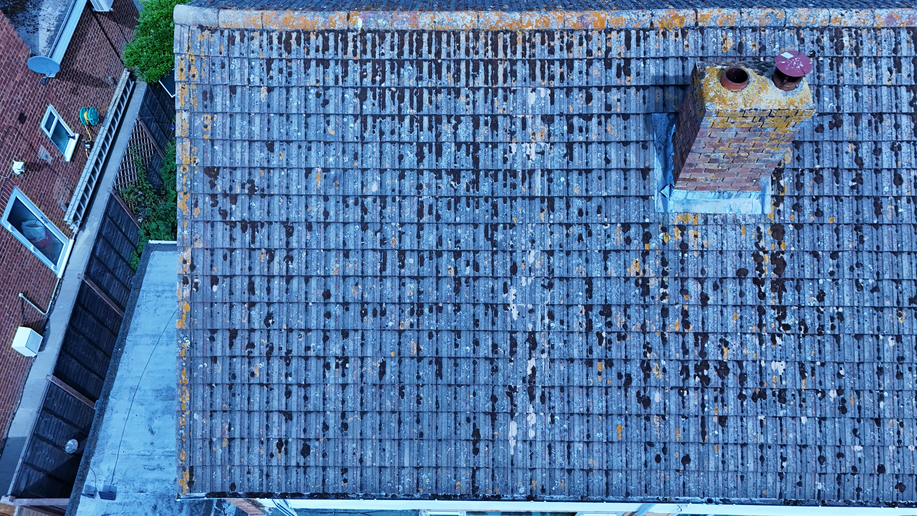
Getting a crew into HA1 is a short job for us rather than a special arrangement. Enquiries come from marketing teams, site managers, agents and private owners alike. We can attend a pre-start meeting where the site requires one.
We shoot roof & asset condition surveys to be used, not to fill a gallery. Knowing where you can legally launch in HA1 saves a wasted mobilisation. HA1 sits in the Harrow postcode area, which our crews cover as one patch.
Every flight in HA1 starts with an airspace check and a written risk assessment. The aircraft is chosen after the brief is understood, not before. We would rather stand down and rebook than fly a marginal operation.
Where compliance evidence is needed for a planning or insurance file, we supply it. Delivery is by secure cloud transfer, with the raw files retained as backup. Where a second visit is our fault, it is at our cost.
What's Included
Get a Quote for HA1
Get in touch to discuss your roof & asset condition surveys requirements in HA1.
Request QuoteOther Services in HA1
Frequently Asked Questions
Can you fly indoors or in enclosed spaces?
Yes, with sub-250g aircraft and appropriate planning. Enclosed and confined spaces need their own risk assessment and often a different platform, so tell us about the environment early and we will confirm what is workable.
Can you fly drones in HA1?
Yes. We hold the necessary permissions to operate safely in HA1. Every operation includes a full risk assessment and coordination with local authorities or airspace controllers where required.
What do we actually receive at the end?
That depends on the brief: graded video, high-resolution stills, orthomosaic maps, 3D models or an inspection report. Raw capture is handed over on the day and finished output follows by secure cloud transfer.