

Aerial Photography in WC2E
Commercial aerial photography in WC2E, from a London operator with CAA approval, £10M cover and same-day raw delivery.
Recent Work
Selected work from across London and the Thames.
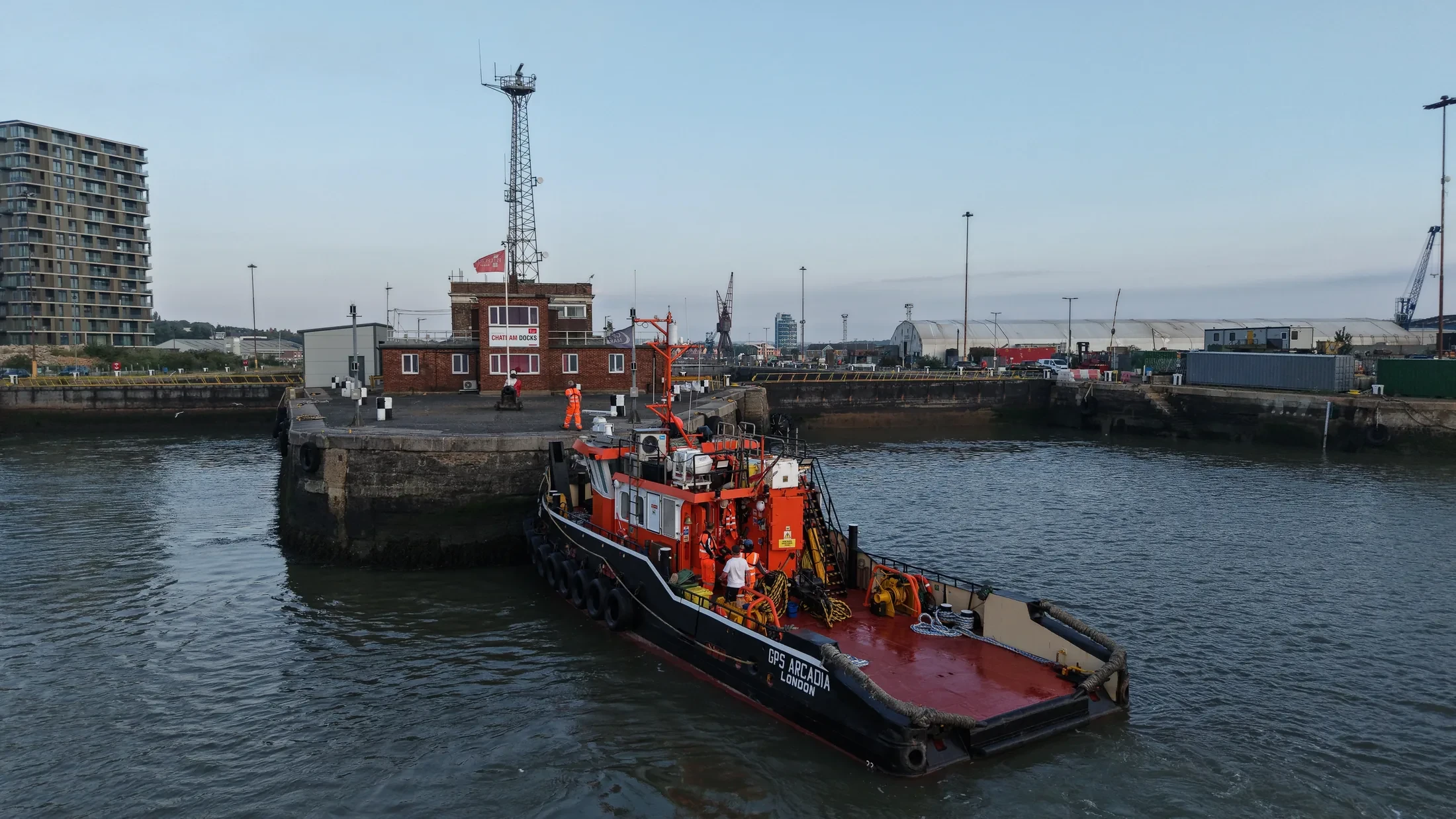
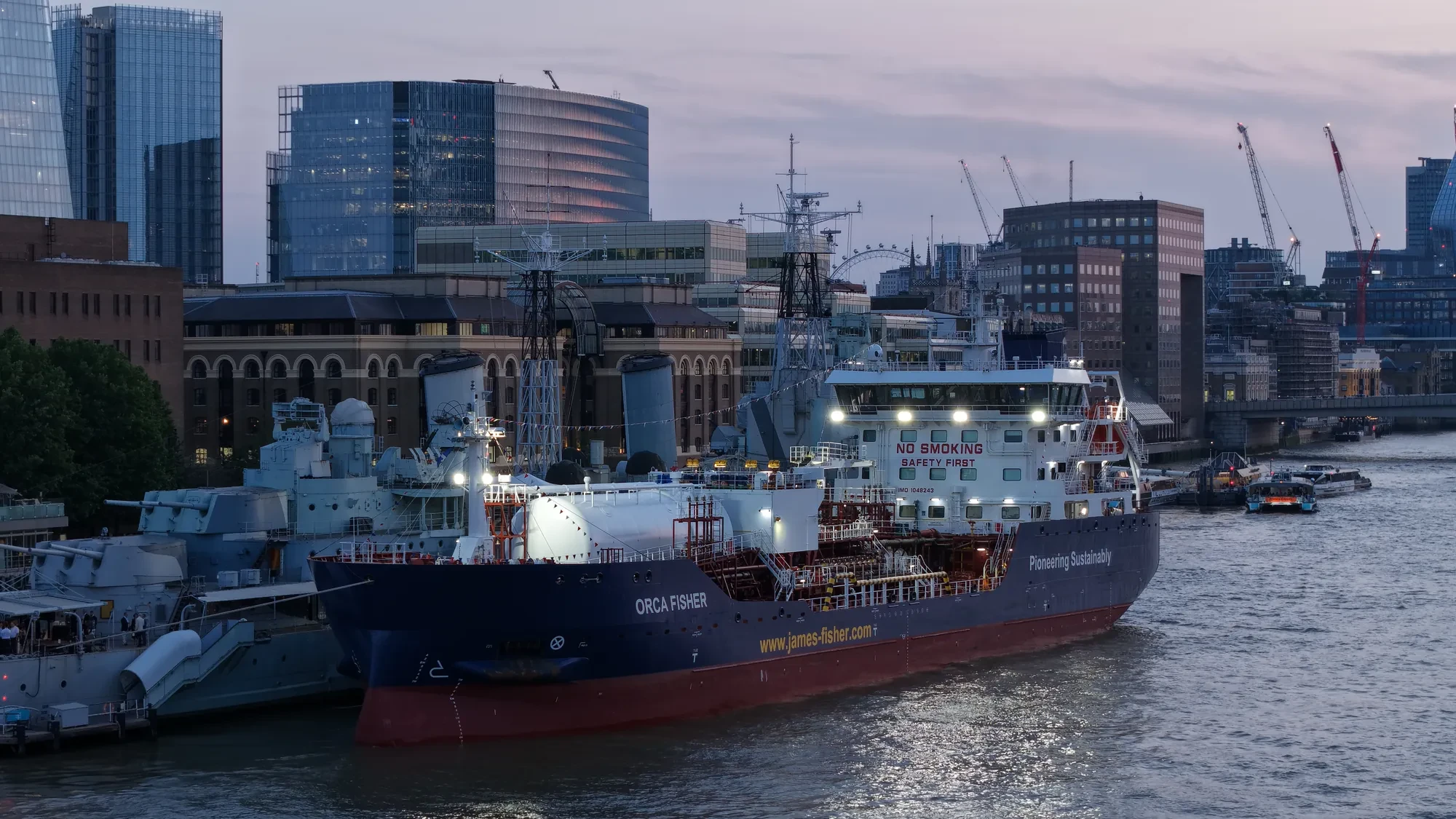
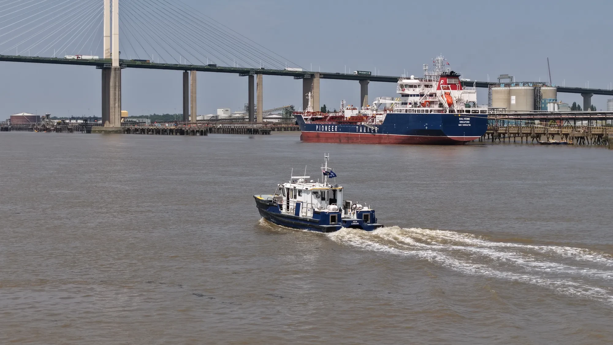
Aerial photography in WC2E is something we are set up to do at short notice. Jobs come in from main contractors, subcontractors and the client side directly. Where a job spans several sites, we can cover them in one mobilisation.
Whether the WC2E material ends up in a brochure or a report changes how we shoot it. Knowing where you can legally launch in WC2E saves a wasted mobilisation. We hold current airspace knowledge for West Central London as a whole, WC2E included.
Each WC2E job is planned around the site itself: access, take-off points, overflight and people on the ground. Mapping work is flown on RTK platforms rather than estimated from camera drones. Our risk assessments are written to be read, not to tick a box.
Everything we fly in WC2E sits inside the permissions we actually hold. Ask for the WC2E brief to be quoted with and without editing if that helps you compare. We do not add charges after the fact for travel or parking in WC2E.
What's Included
Get a Quote for WC2E
Get in touch to discuss your aerial photography requirements in WC2E.
Request QuoteOther Services in WC2E
Frequently Asked Questions
Do you need us to close anything off while you fly?
Usually not. Most jobs are flown with a small cordon around the take-off point and sensible separation from people on the ground. Where a site genuinely needs more, we will tell you at the planning stage rather than on the morning.
How long will you be on site in WC2E?
Most single-subject jobs take one to three hours on site including setup, briefing and packing down. Larger sites, multiple elevations or survey work take longer, and we confirm the expected window when we quote.
What do we actually receive at the end?
That depends on the brief: graded video, high-resolution stills, orthomosaic maps, 3D models or an inspection report. Raw capture is handed over on the day and finished output follows by secure cloud transfer.