

Aerial Photography in WC1H
We fly aerial photography throughout WC1H, planned and permitted before the crew arrives on site.
Recent Work
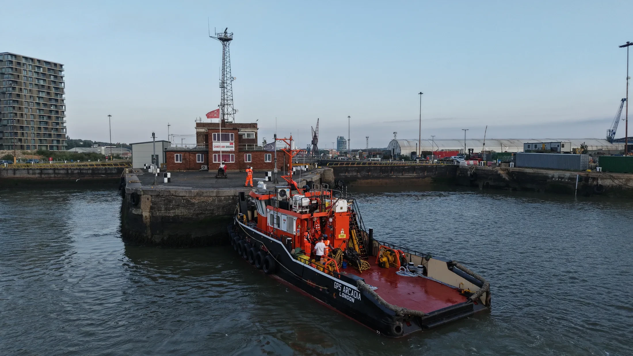
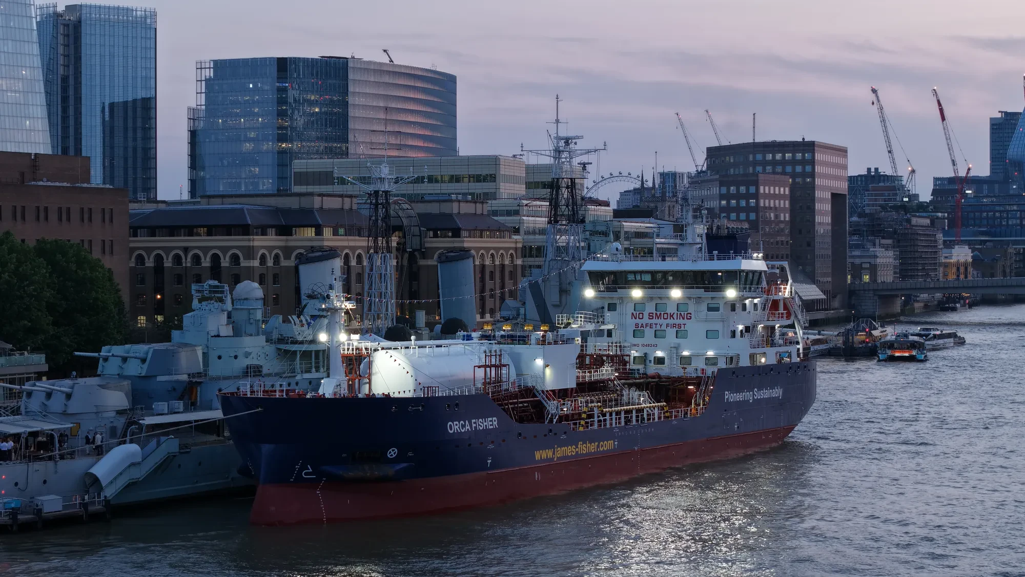
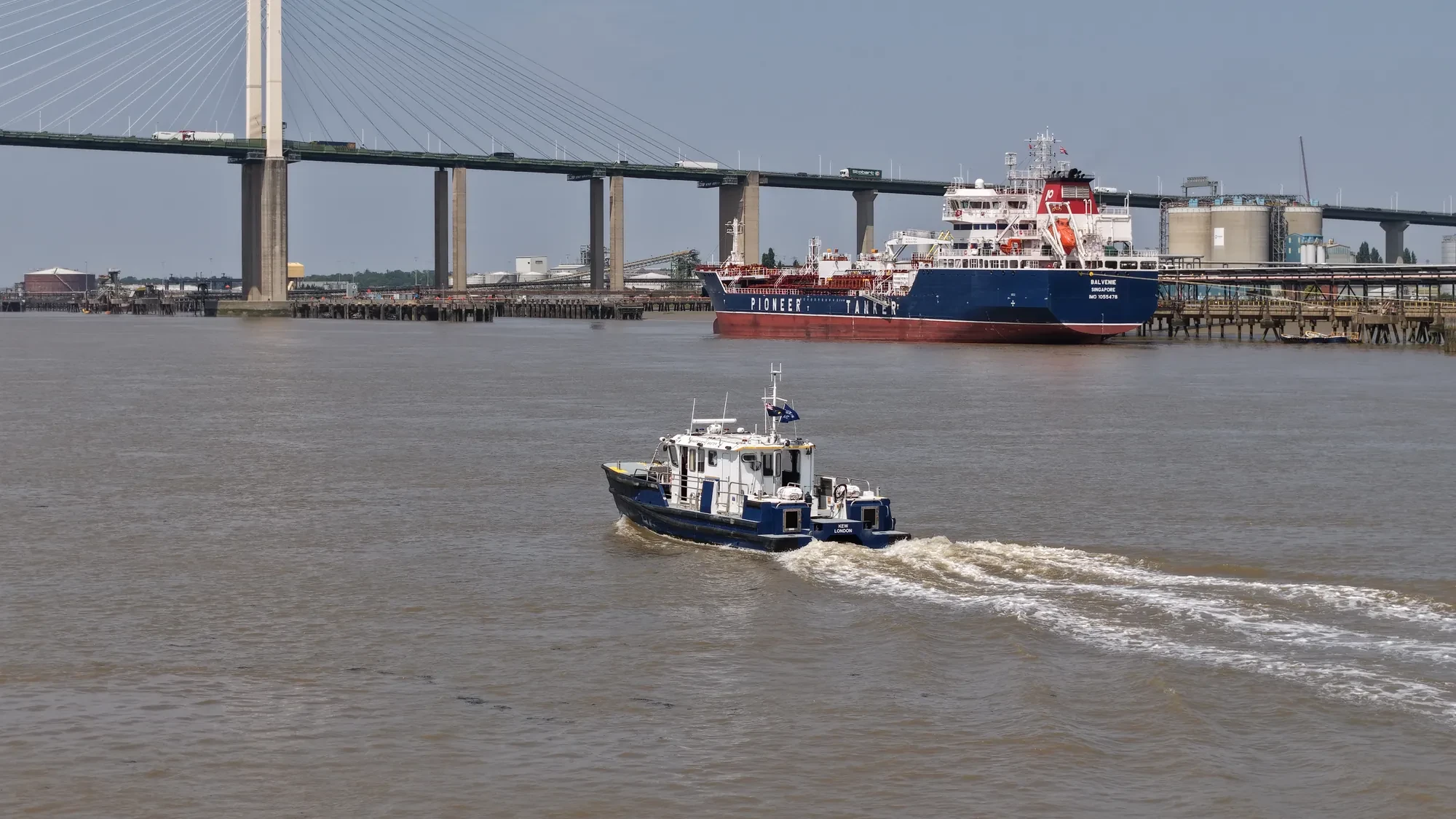
Selected work from across London and the Thames.
UAS London covers the WC1H postcode district as part of our standard London operating area. Projects here run from quick property shoots to multi-day commercial productions. If the brief is still loose, we would rather talk it through than guess at it.
Every aerial photography brief starts with what the images have to do. Height limits, restricted zones and helicopter routes all vary across London, WC1H included. Our coverage of West Central London means a crew can reach WC1H without a long transit.
Operations in WC1H are planned against current NOTAMs and airspace data rather than last month's. For confined sites we can drop to sub-250g aircraft without giving up image quality. If conditions change on the day, the pilot's call is final.
We can supply method statements and risk assessments for your own site paperwork. Edited video, stills, orthomosaics and inspection reports follow within 24 to 48 hours. Nothing about the WC1H operation is subcontracted out without telling you.
What's Included
Get a Quote for WC1H
Get in touch to discuss your aerial photography requirements in WC1H.
Request QuoteOther Services in WC1H
Frequently Asked Questions
Do you retain copyright, or do we?
Licensing is agreed before the shoot and written into the quote, so there is no ambiguity afterwards. Tell us how you intend to use the material and we will scope the licence to match.
Are you insured, and can we see the certificate?
Yes. We carry £10M public liability insurance and can send the certificate, our CAA operational authorisation and a job-specific risk assessment before the booking is confirmed.
What do we actually receive at the end?
That depends on the brief: graded video, high-resolution stills, orthomosaic maps, 3D models or an inspection report. Raw capture is handed over on the day and finished output follows by secure cloud transfer.