

Yacht Drone Filming in Portishead
Professional, sea-safe yacht drone filming in Portishead supporting shipping, yachts, and coastal structures.
Recent Work
Selected work from across London and the Thames.
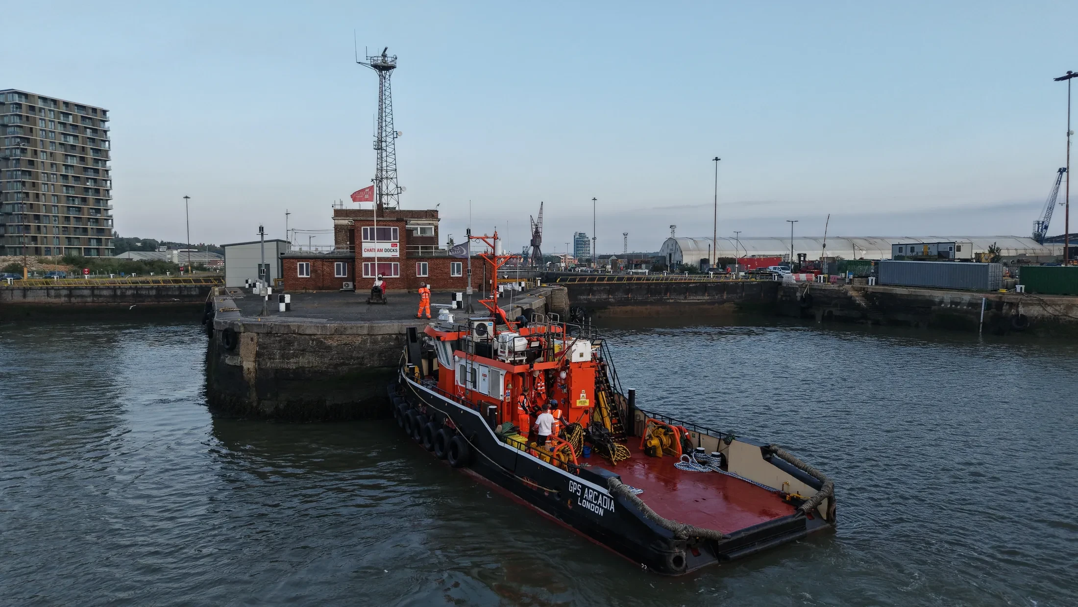
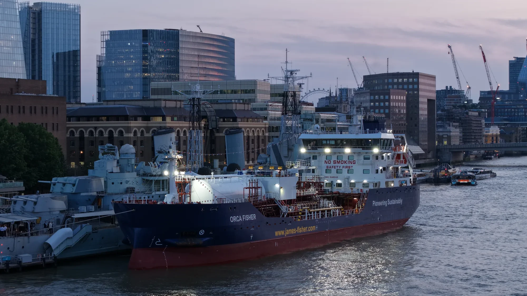
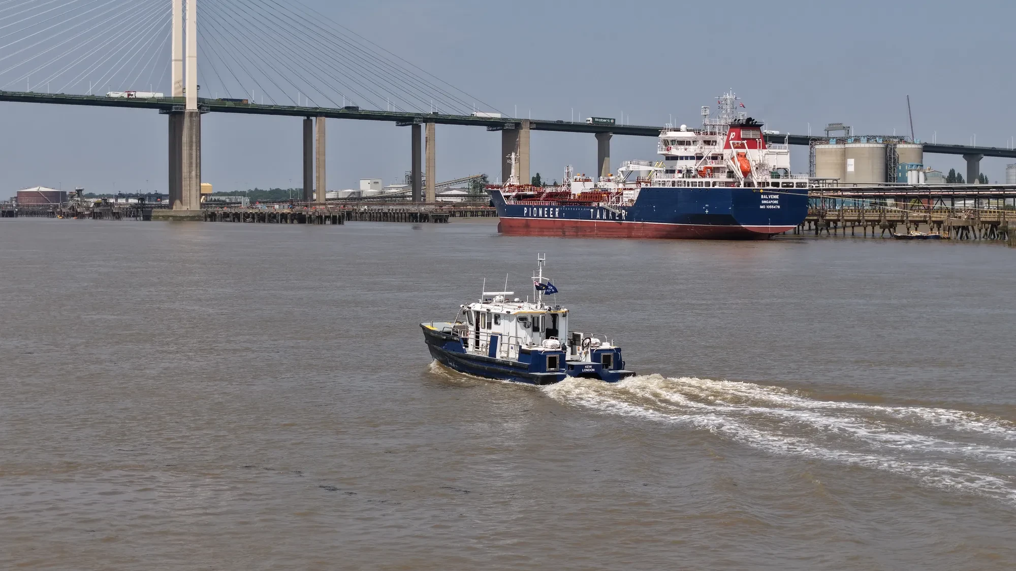
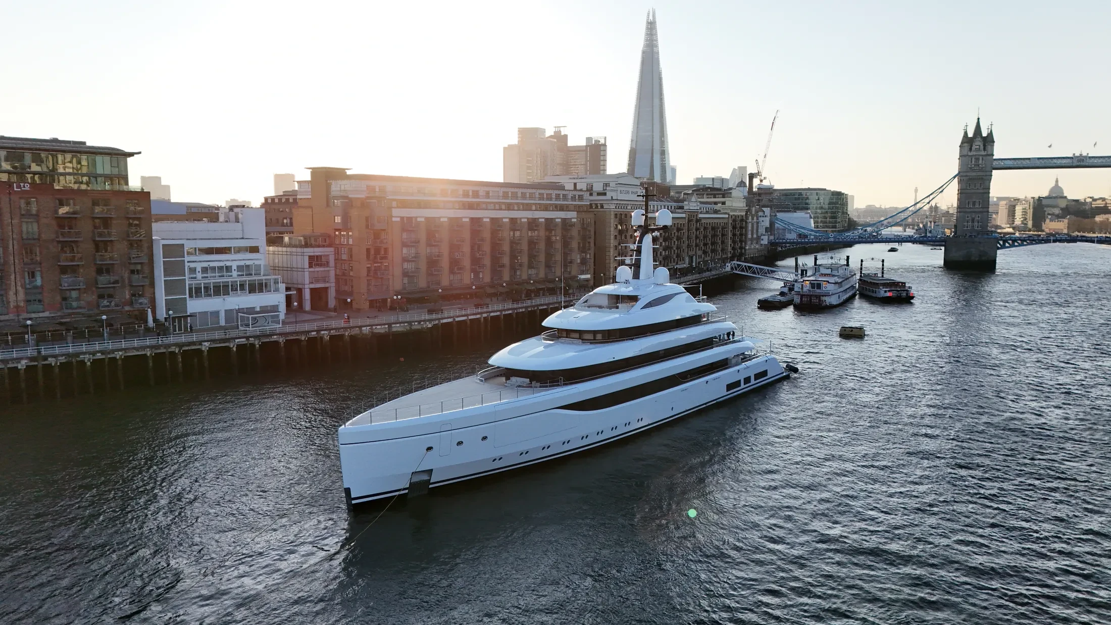
We fly yacht drone filming in the harbours, approaches and offshore waters around Portishead. The same crew can cover a yacht shoot in the morning and a quay inspection in the afternoon. We quote per project, because vessel support and weather risk vary far more than the service itself.
We check tidal windows, vessel schedules and forecast sea state before fixing a date in Portishead. Float kits and redundant airframes are used where the risk profile justifies them. Light at sea changes quickly, so we will suggest the time of day that suits the subject.
We integrate Portishead drone operations into live port activity rather than interrupting it. Method statements can be supplied for the principal contractor's file where required. We hold the separation the regulations require from anyone not under our control.
Survey data from Portishead is processed and returned within two working days. Talk to us early: the Bristol Channel & Severn Estuary weather window often decides the schedule, not the crew. We are straightforward about what the conditions will and will not allow.
At-Sea & Coastal Vessel Support
For offshore and coastal drone operations around Portishead, we partner with Cinecraft to provide direct access to MCA-coded support vessels.
This turnkey package includes drone equipment, fully certified marine pilots, support vessels, and skippers, ensuring an integrated and safe operation without having to manage separate suppliers.
Marine Specifications in Portishead
Other Maritime Services in Portishead
Nearby Locations in Bristol Channel & Severn Estuary
Yacht Drone Filming in Bristol
Professional maritime drone operations active across Bristol.
View Location Details →Yacht Drone Filming in Cardiff
Professional maritime drone operations active across Cardiff.
View Location Details →Yacht Drone Filming in Newport
Professional maritime drone operations active across Newport.
View Location Details →Yacht Drone Filming in Avonmouth
Professional maritime drone operations active across Avonmouth.
View Location Details →Book Marine Services
Offshore operations at Portishead require specialist permissions, risk assessments, and marine channel monitoring.
Request Marine QuoteMarine Standards
- VHF Marine Radio Equipped
- £10M Maritime Insurance
- MCA-Coded Support Vessels
- Offshore Trained Pilots
- Harbour Master liaison
- Sea-state planning fail-safes
Frequently Asked Questions
How much notice do you need for work in Portishead?
Port clearances and the weather window both drive the lead time, so a week or two is comfortable. Offshore work depends heavily on the forecast, so tell us the deadline and we will be straight with you about the odds.
Can you deliver survey-grade data as well as imagery?
Yes. RTK-equipped platforms produce georeferenced orthomosaics and 3D models of quays, defences and structures to centimetre accuracy, delivered in the formats your engineering team already uses.
Who owns the material from the Portishead job?
Licensing is agreed before mobilisation and written into the quote. Tell us whether it is for marketing, an operational record, an insurance file or a technical submission and we scope the licence to match.