

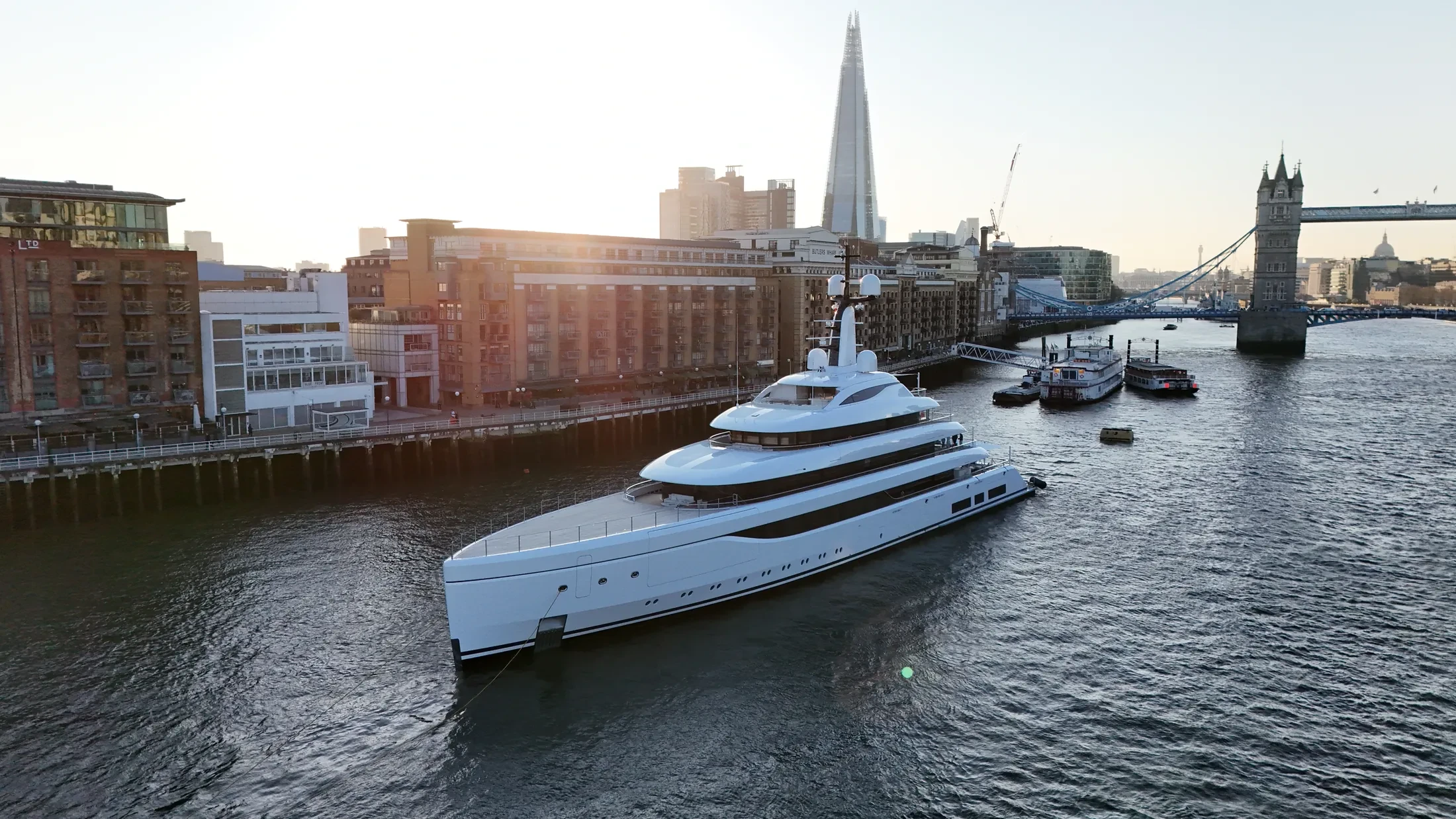
Marine Fleet Filming in England
Professional, sea-safe marine fleet filming in England supporting shipping, yachts, and coastal structures.
Recent Work
Selected work from across London and the Thames.
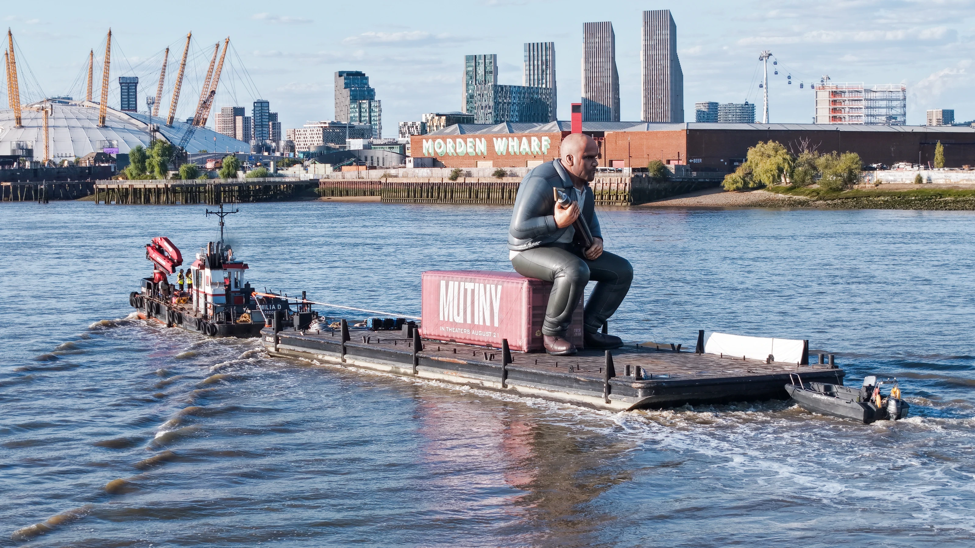
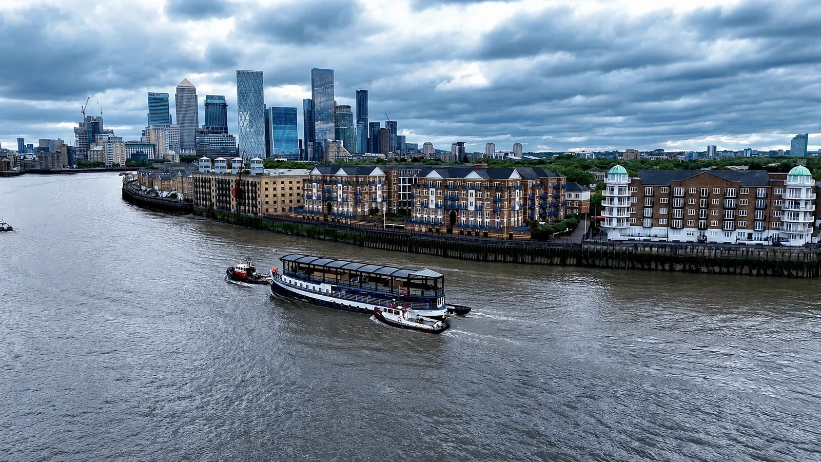
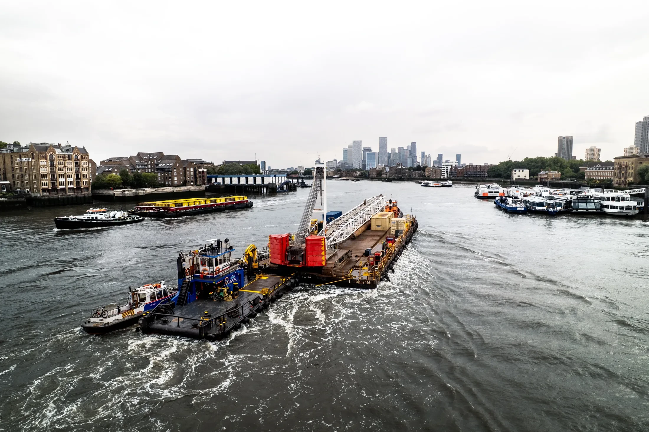
If your operation is based in England, we can plan and fly marine fleet filming around it. We work for operators who need imagery that stands up commercially and data that stands up technically. Repeat work at England keeps the same crew wherever scheduling allows.
Planning for England starts with the weather window, because offshore work depends on it entirely. Where the deliverable is a measurement, we fly survey platforms rather than camera drones. Sorties are kept purposeful, because endurance is finite and the weather rarely waits.
We liaise directly with terminal operators and pilots working England. Method statements can be supplied for the principal contractor's file where required. Adjacent berths and vessel operators are notified where the operation warrants it.
Turnaround is same-day for raw and 24 to 48 hours for finished output. Get in touch for an obligation-free quote on marine fleet filming in England. Happy to advise on feasibility even if you end up not booking.
At-Sea & Coastal Vessel Support
For offshore and coastal drone operations around England, we partner with Cinecraft to provide direct access to MCA-coded support vessels.
This turnkey package includes drone equipment, fully certified marine pilots, support vessels, and skippers, ensuring an integrated and safe operation without having to manage separate suppliers.
Marine Specifications in England
Other Maritime Services in England
Nearby Locations in Canal & River Trust Waterways
Book Marine Services
Offshore operations at England require specialist permissions, risk assessments, and marine channel monitoring.
Request Marine QuoteMarine Standards
- VHF Marine Radio Equipped
- £10M Maritime Insurance
- MCA-Coded Support Vessels
- Offshore Trained Pilots
- Harbour Master liaison
- Sea-state planning fail-safes
Frequently Asked Questions
Can you deliver survey-grade data as well as imagery?
Yes. RTK-equipped platforms produce georeferenced orthomosaics and 3D models of quays, defences and structures to centimetre accuracy, delivered in the formats your engineering team already uses.
How do you ensure safety when flying over sea water?
We use redundant airframes with float kits where appropriate, and every flight plan sets geofenced return-to-home limits that account for wind drift, sea state and a moving launch point.
What happens if the weather closes the window in England?
We monitor maritime forecasts in the days beforehand and will tell you early if it looks unworkable. If conditions make the operation unsafe we rebook the next viable window at no additional cost.