

Yacht Drone Filming in Carrickfergus
Professional, sea-safe yacht drone filming in Carrickfergus supporting shipping, yachts, and coastal structures.
Recent Work
Selected work from across London and the Thames.
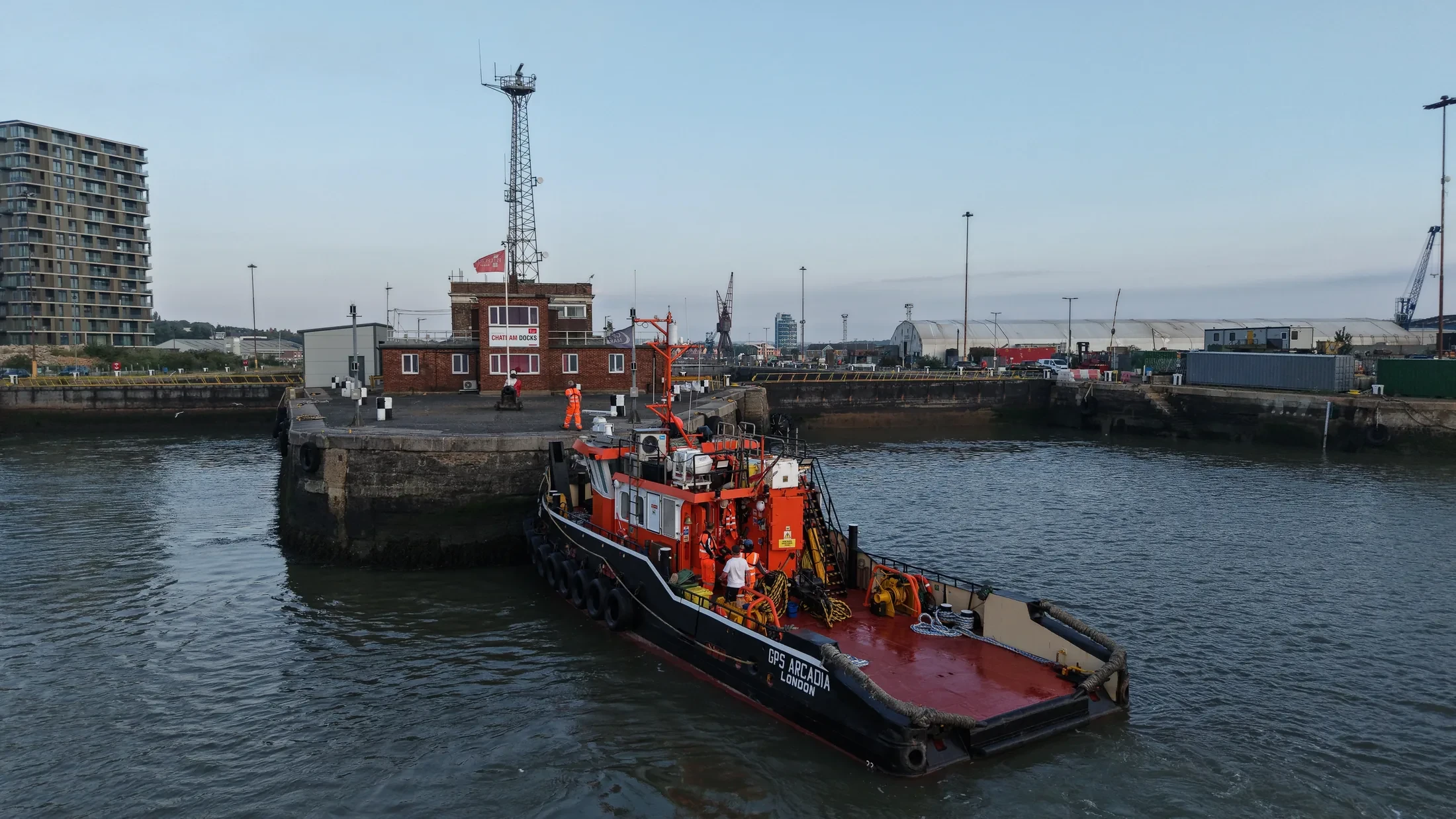
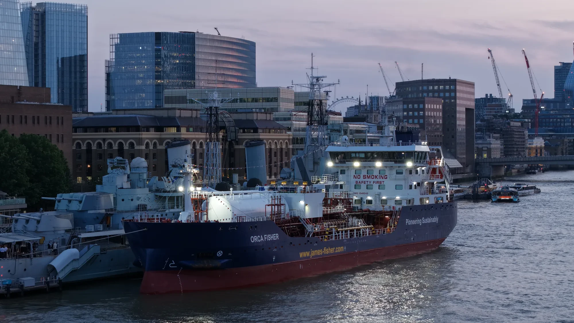
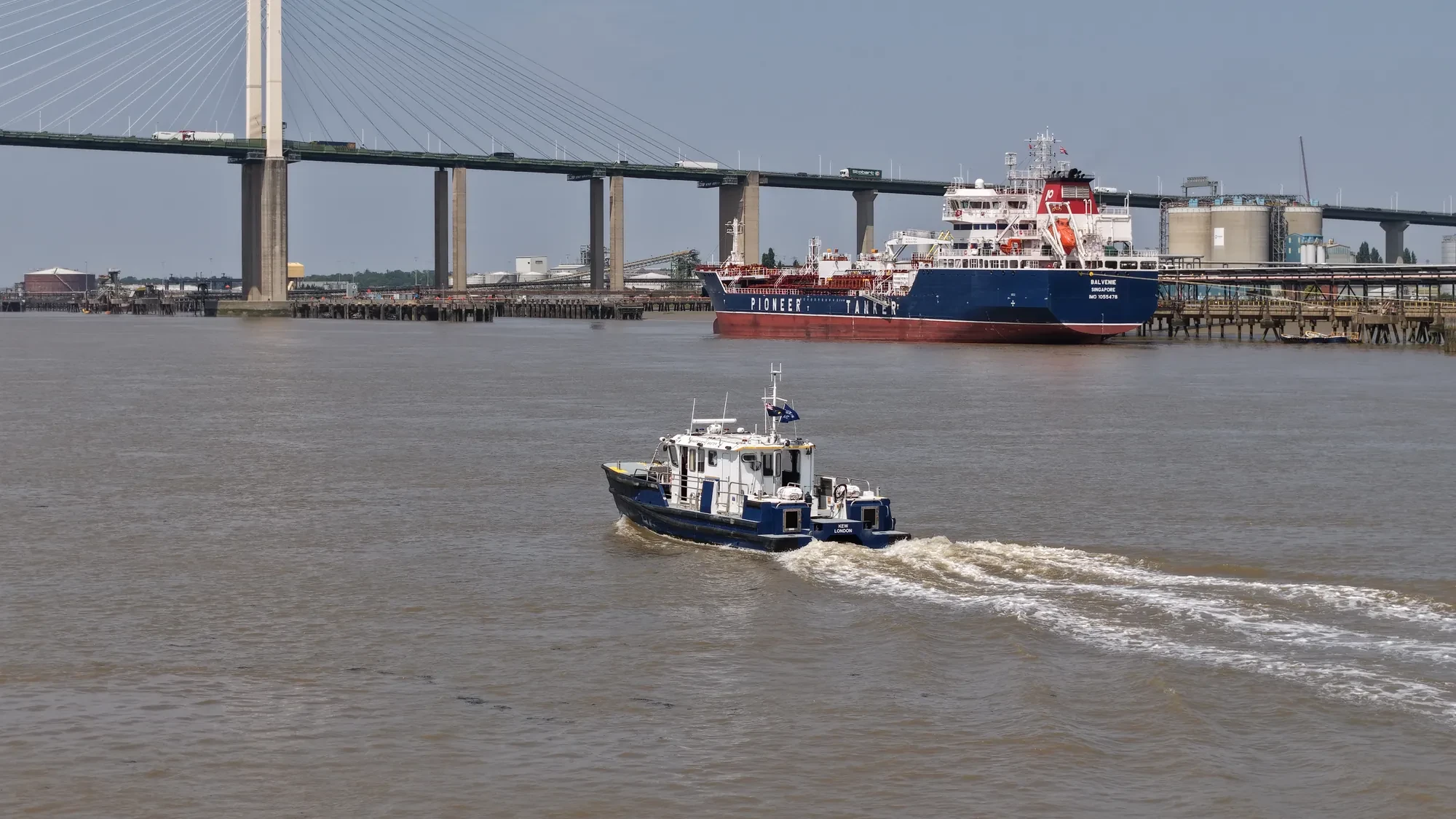
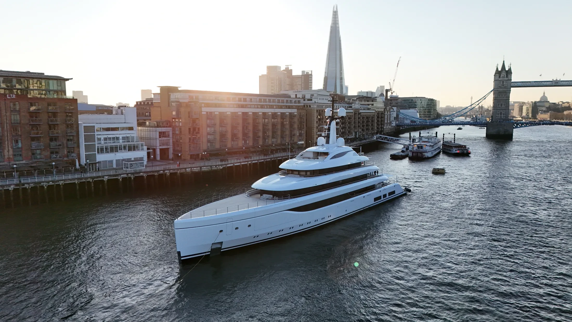
UAS London provides yacht drone filming throughout the coastal waters and port facilities of Carrickfergus. Clients include shipping operators, port authorities, marine civil contractors and yacht owners. Where a brief covers several berths or structures, we plan them into a single mobilisation.
Planning for Carrickfergus starts with the weather window, because offshore work depends on it entirely. Float kits and redundant airframes are used where the risk profile justifies them. Time on site is agreed in advance so vessel and shore teams can plan around it.
Port security, harbour control and vessel operators in Carrickfergus are briefed ahead of the flight. Return-to-home limits account for wind drift, sea state and a moving launch platform. Where the public has access to the quay or beach, the plan accounts for them explicitly.
Deliverables arrive in the format your engineering or editorial team already uses. Through our partnership with Cinecraft we can supply MCA-coded vessels for at-sea launches in Carrickfergus. We can point you at projects where we have done something similar at sea.
At-Sea & Coastal Vessel Support
For offshore and coastal drone operations around Carrickfergus, we partner with Cinecraft to provide direct access to MCA-coded support vessels.
This turnkey package includes drone equipment, fully certified marine pilots, support vessels, and skippers, ensuring an integrated and safe operation without having to manage separate suppliers.
Marine Specifications in Carrickfergus
Other Maritime Services in Carrickfergus
Nearby Locations in Belfast Lough
Yacht Drone Filming in Belfast
Professional maritime drone operations active across Belfast.
View Location Details →Yacht Drone Filming in Bangor
Professional maritime drone operations active across Bangor.
View Location Details →Yacht Drone Filming in Holywood
Professional maritime drone operations active across Holywood.
View Location Details →Book Marine Services
Offshore operations at Carrickfergus require specialist permissions, risk assessments, and marine channel monitoring.
Request Marine QuoteMarine Standards
- VHF Marine Radio Equipped
- £10M Maritime Insurance
- MCA-Coded Support Vessels
- Offshore Trained Pilots
- Harbour Master liaison
- Sea-state planning fail-safes
Frequently Asked Questions
Can you deliver survey-grade data as well as imagery?
Yes. RTK-equipped platforms produce georeferenced orthomosaics and 3D models of quays, defences and structures to centimetre accuracy, delivered in the formats your engineering team already uses.
How much notice do you need for work in Carrickfergus?
Port clearances and the weather window both drive the lead time, so a week or two is comfortable. Offshore work depends heavily on the forecast, so tell us the deadline and we will be straight with you about the odds.
Do you carry out structural inspections of port infrastructure?
Yes. We fly high-zoom and thermal payloads for close-range condition survey of quays, jetties, coastal defences and offshore structures, delivered as annotated reports or georeferenced imagery.