


Drone Filming in Blackheath
Professional, CAA-approved drone filming in Blackheath for commercial, residential, and creative projects.
Recent Work
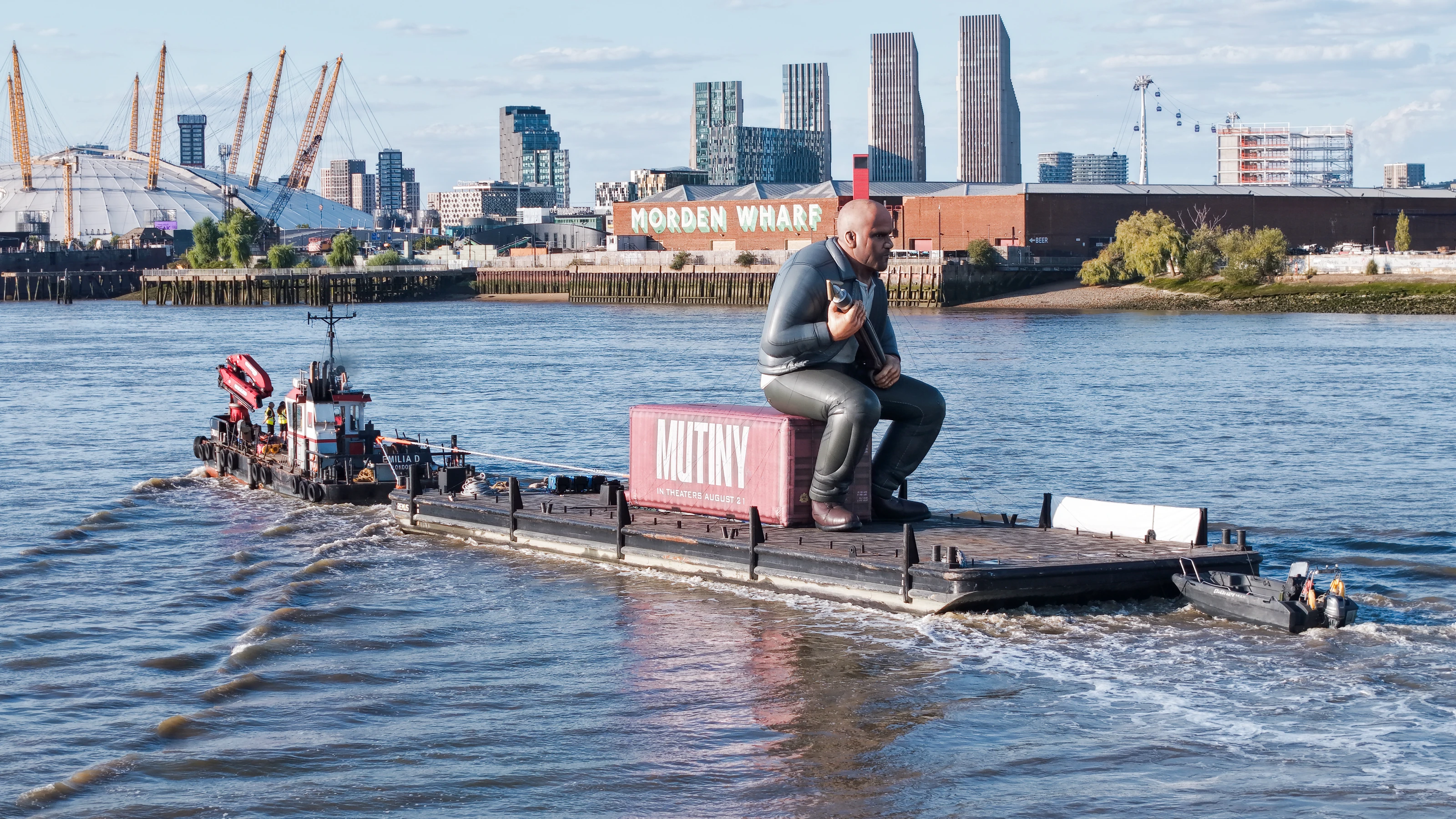
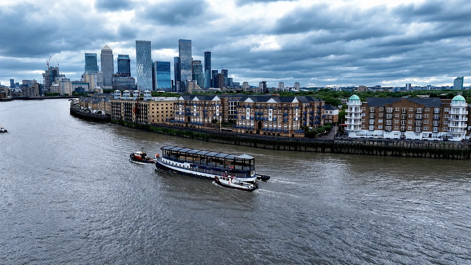
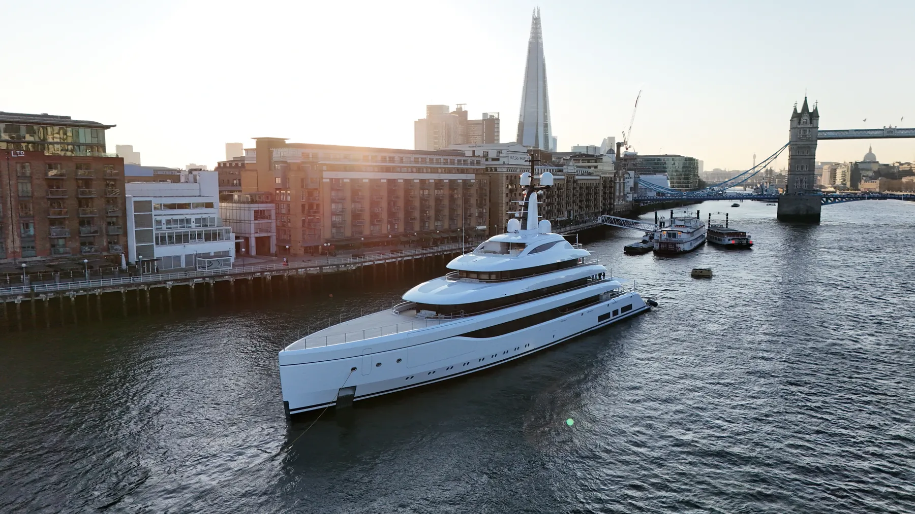
Selected work from across London and the Thames.
Our operating area includes the Blackheath area, so mobilising there is quick. Clients here include developers, contractors, agencies, production companies and event organisers. We can attend a pre-start meeting where the site requires one.
Planning covers airspace class, nearby aerodromes and anything locally that changes the risk picture. Thermal, high-zoom and mapping payloads are available from the same crew on the same visit. We arrive with spare airframes rather than a single point of failure.
Method statements and risk assessments can be supplied for your own site paperwork. We handle notifications to everyone who needs to know before we fly. Nothing is flown until the paperwork and the brief agree with each other.
Delivery is by secure cloud transfer, with the raw files retained as backup. Call or email with the Blackheath site details and we will tell you what is possible and what it costs. We can point you at projects where we have done something similar.
Service Features in Blackheath
Other Services in Blackheath
Nearby Locations for Drone Filming
Drone Filming in Bethnal Green
Professional drone operations available across Bethnal Green.
View Service Area →Drone Filming in Bow
Professional drone operations available across Bow.
View Service Area →Drone Filming in Bermondsey
Professional drone operations available across Bermondsey.
View Service Area →Drone Filming in Brixton
Professional drone operations available across Brixton.
View Service Area →Book Drone Filming
Looking to arrange drone filming in Blackheath? Get in touch to request a quote.
Get a QuoteOur Standards
- CAA Approved Pilots
- £10M Public Liability
- Enhanced built-up permissions
- Same-Day Turnaround Available
- 4K/6K/8K Cinema Quality
- Full Risk Assessments
Frequently Asked Questions
How long will you be on site?
Most single-subject jobs take one to three hours including setup, briefing and packing down. Larger sites, multiple elevations or survey work take longer, and we confirm the expected window when we quote.
What will we actually receive?
That depends on the brief: graded video, high-resolution stills, orthomosaic maps, 3D models or a written inspection report. Raw capture is handed over on the day and finished output follows by secure cloud transfer.
Do we need the landowner's permission?
Take-off and landing require the landowner's permission, and we will identify whose it is before the date. Where a council, managing agent or estate wants sight of our CAA authorisation, insurance or risk assessment, we supply the paperwork directly.