

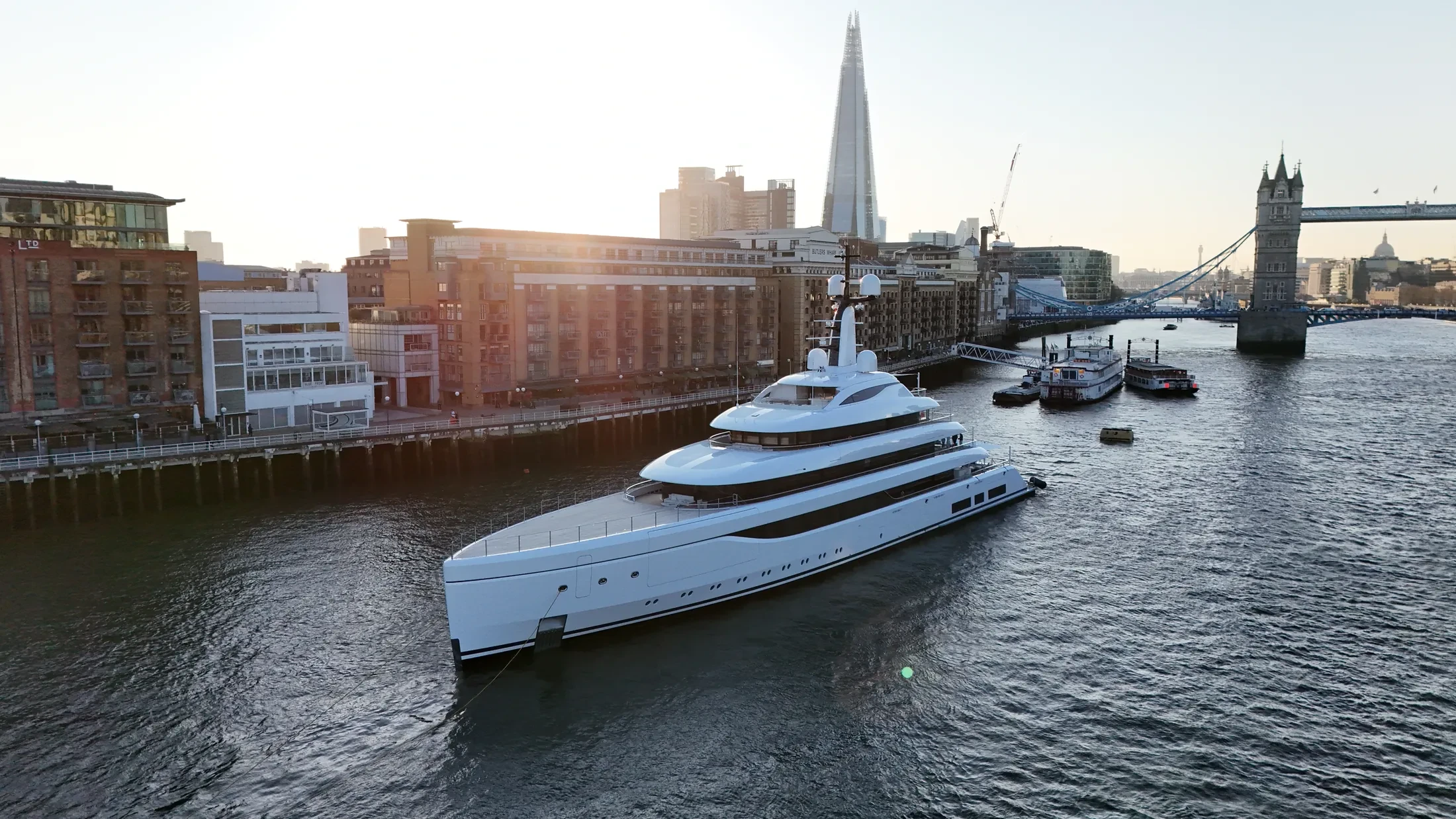
Port & Harbour Surveys in River Medway
Professional, sea-safe port & harbour surveys in River Medway supporting shipping, yachts, and coastal structures.
We run port & harbour surveys in River Medway for commercial operators, yacht owners and engineering teams. Typical briefs cover fleet photography, vessel tracking, harbour survey and offshore inspection. If the conditions in the window you have will not allow the shot, we say so at enquiry stage.
Operations in River Medway are timed to avoid conflict with commercial shipping movements. Payloads run from 6K RAW cinema cameras to RTK mapping systems and thermal inspection sensors. Light at sea changes quickly, so we will suggest the time of day that suits the subject.
We integrate River Medway drone operations into live port activity rather than interrupting it. Method statements can be supplied for the principal contractor's file where required. Adjacent berths and vessel operators are notified where the operation warrants it.
Delivery is by secure cloud transfer with the raw material archived as backup. Contact our marine desk to discuss the logistics of port & harbour surveys in River Medway. We can point you at projects where we have done something similar at sea.
At-Sea & Coastal Vessel Support
For offshore and coastal drone operations around River Medway, we partner with Cinecraft to provide direct access to MCA-coded support vessels.
This turnkey package includes drone equipment, fully certified marine pilots, support vessels, and skippers, ensuring an integrated and safe operation without having to manage separate suppliers.
Marine Specifications in River Medway
Other Maritime Services in River Medway
Book Marine Services
Offshore operations at River Medway require specialist permissions, risk assessments, and marine channel monitoring.
Request Marine QuoteMarine Standards
- VHF Marine Radio Equipped
- £10M Maritime Insurance
- MCA-Coded Support Vessels
- Offshore Trained Pilots
- Harbour Master liaison
- Sea-state planning fail-safes
Frequently Asked Questions
Do you carry out structural inspections of port infrastructure?
Yes. We fly high-zoom and thermal payloads for close-range condition survey of quays, jetties, coastal defences and offshore structures, delivered as annotated reports or georeferenced imagery.
How do you ensure safety when flying over sea water?
We use redundant airframes with float kits where appropriate, and every flight plan sets geofenced return-to-home limits that account for wind drift, sea state and a moving launch point.
How long does a marine mobilisation to River Medway take?
Crew and kit can move quickly; the constraints are port clearance and the forecast. Once those are in hand we can usually be on site within a few days, and we will say up front if the timescale is unrealistic.