

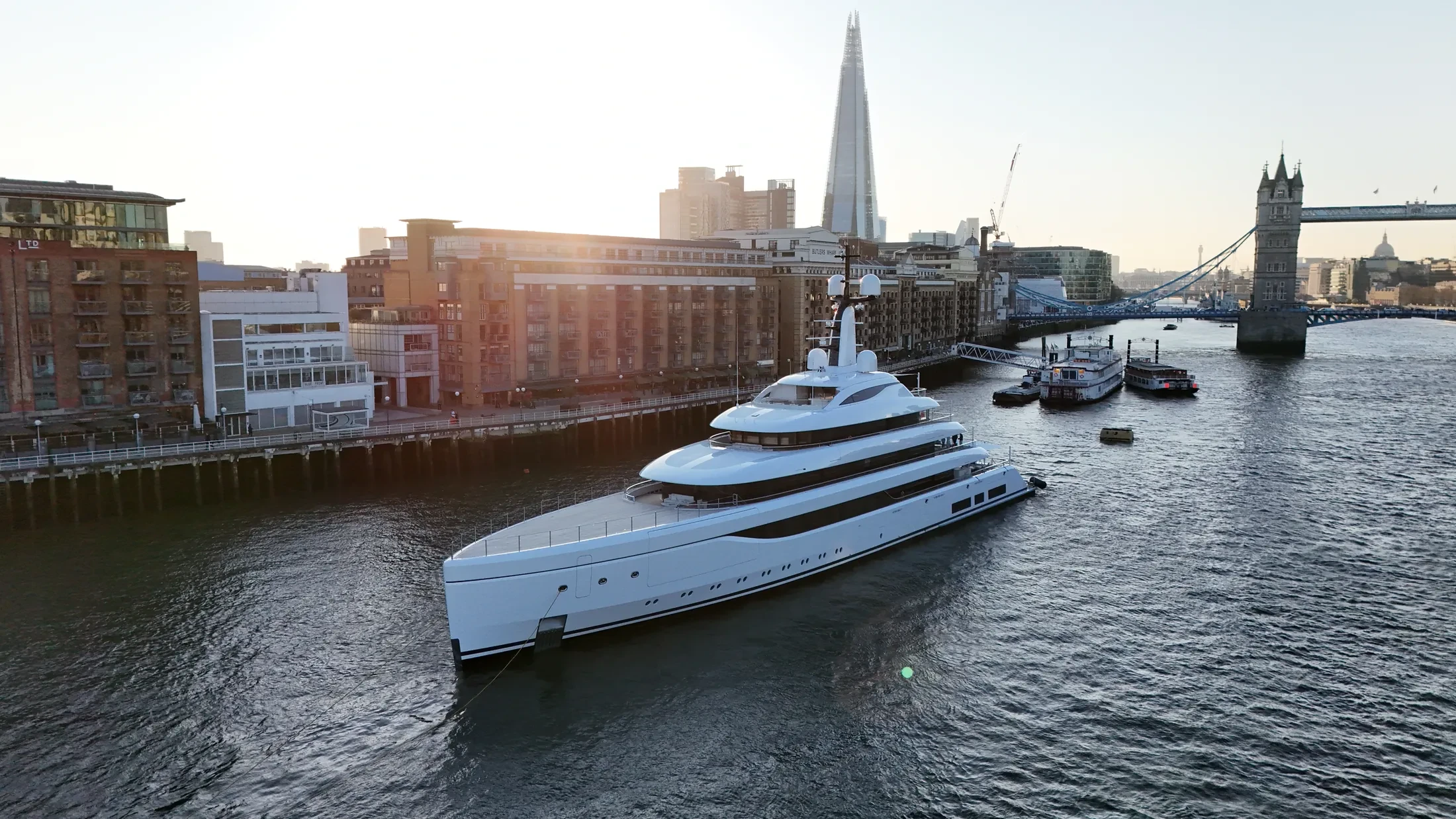
Coastal Drone Surveys in Manchester Ship Canal
Professional, sea-safe coastal drone surveys in Manchester Ship Canal supporting shipping, yachts, and coastal structures.
Manchester Ship Canal sits within our North West Coast & Mersey marine operating area for coastal drone surveys. We work for operators who need imagery that stands up commercially and data that stands up technically. We can attend a pre-start or induction where the port or project requires one.
Launch and recovery points around Manchester Ship Canal are chosen for the conditions expected on the day. Float kits and redundant airframes are used where the risk profile justifies them. Where the site is a working terminal, we operate to the port's permit-to-work system.
Clearances for Manchester Ship Canal are arranged in advance, including any restricted-area permissions. Return-to-home limits account for wind drift, sea state and a moving launch platform. Nothing launches until the paperwork, the passage plan and the brief agree with each other.
Deliverables arrive in the format your engineering or editorial team already uses. Share the Manchester Ship Canal timescale and we will confirm availability against the forecast. Tell us the deadline first, because offshore it decides almost everything else.
At-Sea & Coastal Vessel Support
For offshore and coastal drone operations around Manchester Ship Canal, we partner with Cinecraft to provide direct access to MCA-coded support vessels.
This turnkey package includes drone equipment, fully certified marine pilots, support vessels, and skippers, ensuring an integrated and safe operation without having to manage separate suppliers.
Marine Specifications in Manchester Ship Canal
Other Maritime Services in Manchester Ship Canal
Nearby Locations in North West Coast & Mersey
Coastal Drone Surveys in Liverpool
Professional maritime drone operations active across Liverpool.
View Location Details →Coastal Drone Surveys in Birkenhead
Professional maritime drone operations active across Birkenhead.
View Location Details →Coastal Drone Surveys in Blackpool
Professional maritime drone operations active across Blackpool.
View Location Details →Coastal Drone Surveys in Fleetwood
Professional maritime drone operations active across Fleetwood.
View Location Details →Book Marine Services
Offshore operations at Manchester Ship Canal require specialist permissions, risk assessments, and marine channel monitoring.
Request Marine QuoteMarine Standards
- VHF Marine Radio Equipped
- £10M Maritime Insurance
- MCA-Coded Support Vessels
- Offshore Trained Pilots
- Harbour Master liaison
- Sea-state planning fail-safes
Frequently Asked Questions
Can you film vessels under way near Manchester Ship Canal?
Yes. Vessel tracking is core to our marine work, from workboats and commercial shipping to yachts under sail. Dual-operator crews keep the pilot focused on proximity and drift while the camera holds the shot.
Do you coordinate with the vessel's skipper?
Yes. Given the skipper's contact we plan the passage and the shot list together, which is what makes the difference between a vessel that happens to be in frame and one that is positioned for the shot.
How do you ensure safety when flying over sea water?
We use redundant airframes with float kits where appropriate, and every flight plan sets geofenced return-to-home limits that account for wind drift, sea state and a moving launch point.