

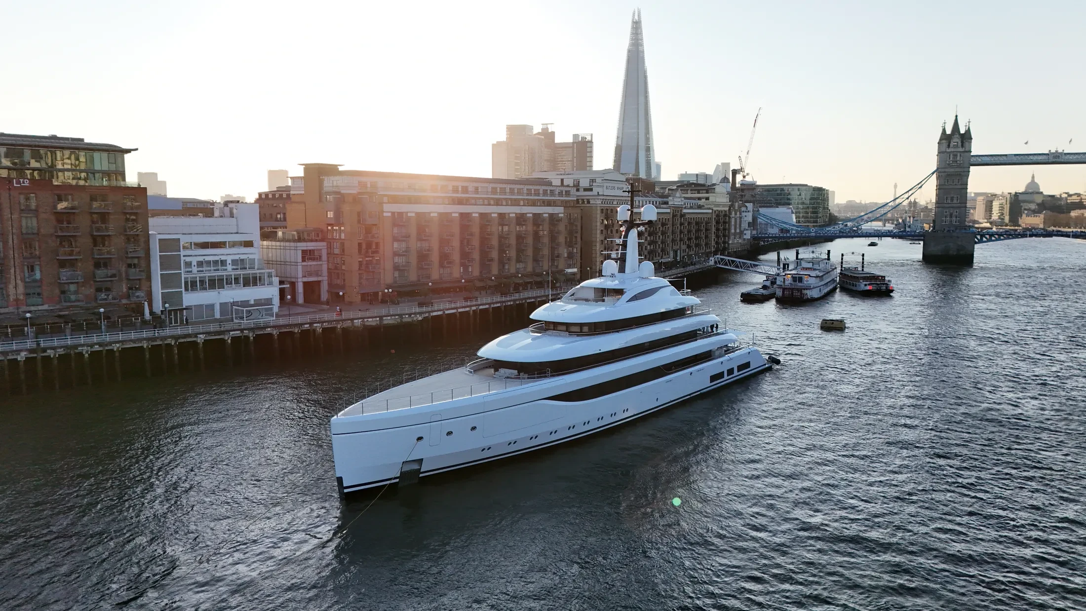
Port & Harbour Surveys in Loch Ness
Professional, sea-safe port & harbour surveys in Loch Ness supporting shipping, yachts, and coastal structures.
UAS London provides port & harbour surveys throughout the coastal waters and port facilities of Loch Ness. Both shore-based and vessel-launched operations are available depending on the target. If the conditions in the window you have will not allow the shot, we say so at enquiry stage.
Planning for Loch Ness starts with the weather window, because offshore work depends on it entirely. High-zoom payloads allow close inspection without flying close to the structure. Where the subject is under way, the shot is planned around its passage, not ours.
Notifications to the coastguard are made where the Loch Ness operation warrants it. We carry £10M public liability insurance written to cover marine and over-water operations. Where the public has access to the quay or beach, the plan accounts for them explicitly.
Deliverables arrive in the format your engineering or editorial team already uses. Share the Loch Ness timescale and we will confirm availability against the forecast. Ask for examples of comparable marine work and we will send them over.
At-Sea & Coastal Vessel Support
For offshore and coastal drone operations around Loch Ness, we partner with Cinecraft to provide direct access to MCA-coded support vessels.
This turnkey package includes drone equipment, fully certified marine pilots, support vessels, and skippers, ensuring an integrated and safe operation without having to manage separate suppliers.
Marine Specifications in Loch Ness
Other Maritime Services in Loch Ness
Nearby Locations in Caledonian Canal & Scottish Waterways
Port & Harbour Surveys in Inverness
Professional maritime drone operations active across Inverness.
View Location Details →Port & Harbour Surveys in Fort William
Professional maritime drone operations active across Fort William.
View Location Details →Port & Harbour Surveys in Forth & Clyde Canal
Professional maritime drone operations active across Forth & Clyde Canal.
View Location Details →Port & Harbour Surveys in Union Canal
Professional maritime drone operations active across Union Canal.
View Location Details →Book Marine Services
Offshore operations at Loch Ness require specialist permissions, risk assessments, and marine channel monitoring.
Request Marine QuoteMarine Standards
- VHF Marine Radio Equipped
- £10M Maritime Insurance
- MCA-Coded Support Vessels
- Offshore Trained Pilots
- Harbour Master liaison
- Sea-state planning fail-safes
Frequently Asked Questions
What happens if the weather closes the window in Loch Ness?
We monitor maritime forecasts in the days beforehand and will tell you early if it looks unworkable. If conditions make the operation unsafe we rebook the next viable window at no additional cost.
How do you ensure safety when flying over sea water?
We use redundant airframes with float kits where appropriate, and every flight plan sets geofenced return-to-home limits that account for wind drift, sea state and a moving launch point.
Can you deliver survey-grade data as well as imagery?
Yes. RTK-equipped platforms produce georeferenced orthomosaics and 3D models of quays, defences and structures to centimetre accuracy, delivered in the formats your engineering team already uses.