

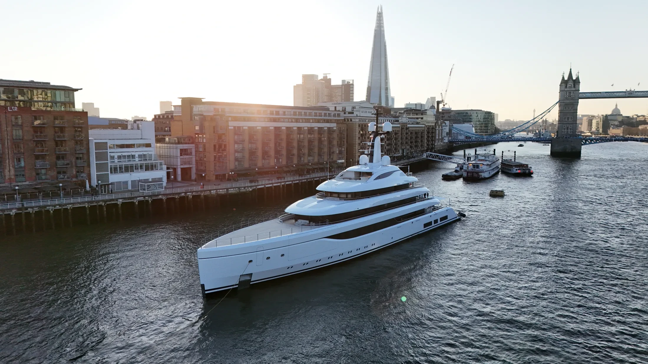
Coastal Drone Surveys in Gravesend
Professional, sea-safe coastal drone surveys in Gravesend supporting shipping, yachts, and coastal structures.
If your operation is based in Gravesend, we can plan and fly coastal drone surveys around it. We supply broadcast media, marketing imagery and engineering-grade survey data. Small commissions are welcome; a single vessel pass is a legitimate brief.
We plan Gravesend flights against live port traffic rather than a static harbour chart. RTK-equipped platforms deliver centimetre-accurate mapping of quays, defences and foreshore. Battery and crew rotations are planned so coverage does not break mid-sequence.
We handle port notifications, security permissions and VHF radio logs for Gravesend ourselves. Documentation is available before booking: permissions, insurance and the risk assessment. Abort and ditch criteria are briefed to crew and skipper before launch.
Edited video, stills, orthomosaics and inspection reports follow the flight within 48 hours. Send the vessel or structure details and we will come back with options and a price. We can point you at projects where we have done something similar at sea.
At-Sea & Coastal Vessel Support
For offshore and coastal drone operations around Gravesend, we partner with Cinecraft to provide direct access to MCA-coded support vessels.
This turnkey package includes drone equipment, fully certified marine pilots, support vessels, and skippers, ensuring an integrated and safe operation without having to manage separate suppliers.
Marine Specifications in Gravesend
Other Maritime Services in Gravesend
Nearby Locations in Thames Estuary
Coastal Drone Surveys in Southend
Professional maritime drone operations active across Southend.
View Location Details →Coastal Drone Surveys in Sheerness
Professional maritime drone operations active across Sheerness.
View Location Details →Coastal Drone Surveys in Tilbury
Professional maritime drone operations active across Tilbury.
View Location Details →Coastal Drone Surveys in Canvey Island
Professional maritime drone operations active across Canvey Island.
View Location Details →Book Marine Services
Offshore operations at Gravesend require specialist permissions, risk assessments, and marine channel monitoring.
Request Marine QuoteMarine Standards
- VHF Marine Radio Equipped
- £10M Maritime Insurance
- MCA-Coded Support Vessels
- Offshore Trained Pilots
- Harbour Master liaison
- Sea-state planning fail-safes
Frequently Asked Questions
What does coastal drone surveys in Gravesend cost?
It depends on vessel support, flight time and deliverables, so we quote per project rather than from a rate card. Send us the Gravesend details and we will come back with a fixed, obligation-free price.
What happens if the weather closes the window in Gravesend?
We monitor maritime forecasts in the days beforehand and will tell you early if it looks unworkable. If conditions make the operation unsafe we rebook the next viable window at no additional cost.
Can you deliver survey-grade data as well as imagery?
Yes. RTK-equipped platforms produce georeferenced orthomosaics and 3D models of quays, defences and structures to centimetre accuracy, delivered in the formats your engineering team already uses.