

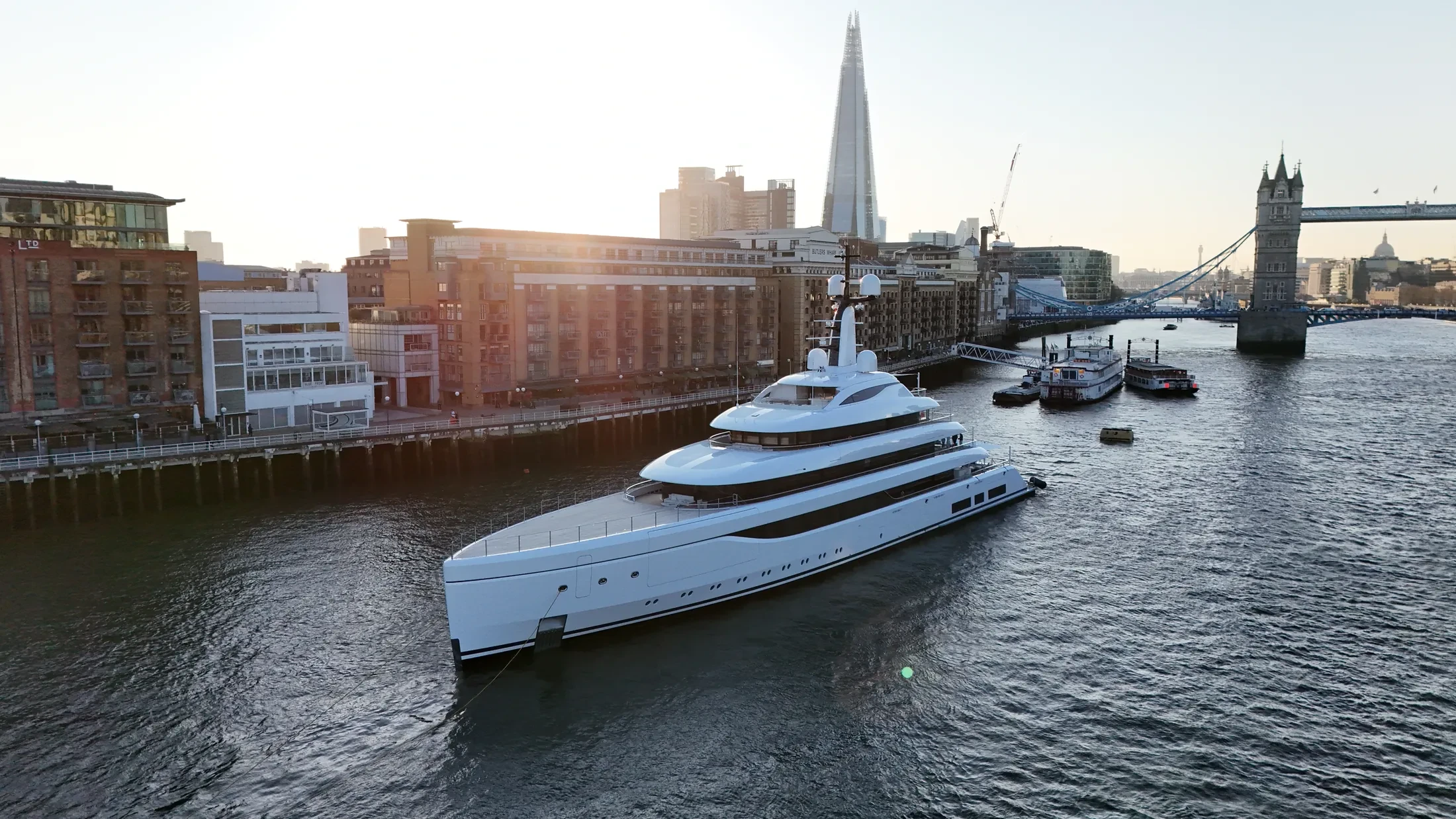
Coastal Drone Surveys in Goole
Professional, sea-safe coastal drone surveys in Goole supporting shipping, yachts, and coastal structures.
We run coastal drone surveys in Goole for commercial operators, yacht owners and engineering teams. Projects run from single-vessel commissions to scheduled inspection programmes. Offshore work needs patience built into the schedule, and we plan for it.
Operations in Goole are timed to avoid conflict with commercial shipping movements. We fly offshore-rated platforms with the range and stability the conditions demand. Time on site is agreed in advance so vessel and shore teams can plan around it.
Our crews maintain marine VHF watch throughout Goole operations. Method statements can be supplied for the principal contractor's file where required. If the port position or the airspace makes the job impossible, you hear it at enquiry stage.
If sea state or wind closes the window, we rebook the next viable slot at no extra cost. Get in touch for an obligation-free quote on coastal drone surveys in Goole. Tell us the deadline first, because offshore it decides almost everything else.
At-Sea & Coastal Vessel Support
For offshore and coastal drone operations around Goole, we partner with Cinecraft to provide direct access to MCA-coded support vessels.
This turnkey package includes drone equipment, fully certified marine pilots, support vessels, and skippers, ensuring an integrated and safe operation without having to manage separate suppliers.
Marine Specifications in Goole
Other Maritime Services in Goole
Nearby Locations in Humber Estuary
Book Marine Services
Offshore operations at Goole require specialist permissions, risk assessments, and marine channel monitoring.
Request Marine QuoteMarine Standards
- VHF Marine Radio Equipped
- £10M Maritime Insurance
- MCA-Coded Support Vessels
- Offshore Trained Pilots
- Harbour Master liaison
- Sea-state planning fail-safes
Frequently Asked Questions
Can you deliver survey-grade data as well as imagery?
Yes. RTK-equipped platforms produce georeferenced orthomosaics and 3D models of quays, defences and structures to centimetre accuracy, delivered in the formats your engineering team already uses.
Can you support offshore operations in the Humber Estuary region?
Yes. We partner with Cinecraft for MCA-coded vessels that act as mobile launch and recovery platforms, which lets our pilots work several miles offshore tracking vessels or inspecting structures.
Do you carry out structural inspections of port infrastructure?
Yes. We fly high-zoom and thermal payloads for close-range condition survey of quays, jetties, coastal defences and offshore structures, delivered as annotated reports or georeferenced imagery.