

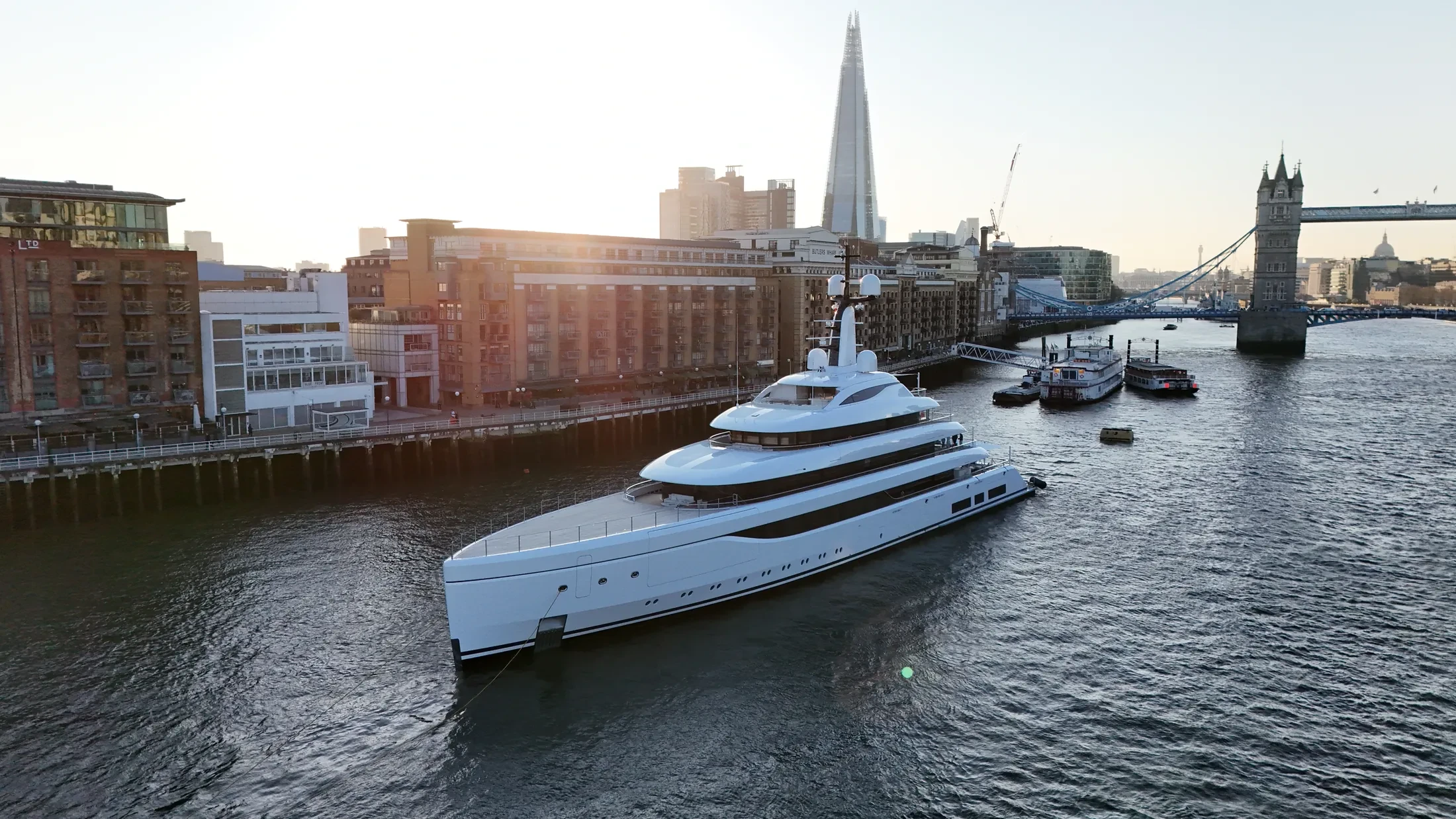
Port & Harbour Surveys in Felixstowe
Professional, sea-safe port & harbour surveys in Felixstowe supporting shipping, yachts, and coastal structures.
Operations in Felixstowe combine aviation licensing with genuine seagoing experience. Typical briefs cover fleet photography, vessel tracking, harbour survey and offshore inspection. Marine work rewards crews who have actually operated at sea rather than only over it.
Every Felixstowe operation gets a site-specific risk assessment covering both air and sea risk. RTK-equipped platforms deliver centimetre-accurate mapping of quays, defences and foreshore. Light at sea changes quickly, so we will suggest the time of day that suits the subject.
We integrate Felixstowe drone operations into live port activity rather than interrupting it. Crews are trained for water safety as well as licensed for commercial flight. Our marine risk assessments are written to be read, not to satisfy a filing requirement.
Survey data from Felixstowe is processed and returned within two working days. Ask about vessel support for Felixstowe, because offshore work usually needs it. Happy to advise on feasibility even if you end up not booking.
At-Sea & Coastal Vessel Support
For offshore and coastal drone operations around Felixstowe, we partner with Cinecraft to provide direct access to MCA-coded support vessels.
This turnkey package includes drone equipment, fully certified marine pilots, support vessels, and skippers, ensuring an integrated and safe operation without having to manage separate suppliers.
Marine Specifications in Felixstowe
Other Maritime Services in Felixstowe
Nearby Locations in East Coast Ports & Estuaries
Port & Harbour Surveys in Harwich
Professional maritime drone operations active across Harwich.
View Location Details →Port & Harbour Surveys in Ipswich
Professional maritime drone operations active across Ipswich.
View Location Details →Port & Harbour Surveys in Hull
Professional maritime drone operations active across Hull.
View Location Details →Port & Harbour Surveys in Grimsby
Professional maritime drone operations active across Grimsby.
View Location Details →Book Marine Services
Offshore operations at Felixstowe require specialist permissions, risk assessments, and marine channel monitoring.
Request Marine QuoteMarine Standards
- VHF Marine Radio Equipped
- £10M Maritime Insurance
- MCA-Coded Support Vessels
- Offshore Trained Pilots
- Harbour Master liaison
- Sea-state planning fail-safes
Frequently Asked Questions
Are you insured for marine operations?
Yes. We carry £10M public liability insurance written to cover marine and over-water flight, and can supply the certificate, our CAA authorisation and a job-specific risk assessment before booking.
Can you deliver survey-grade data as well as imagery?
Yes. RTK-equipped platforms produce georeferenced orthomosaics and 3D models of quays, defences and structures to centimetre accuracy, delivered in the formats your engineering team already uses.
How do you ensure safety when flying over sea water?
We use redundant airframes with float kits where appropriate, and every flight plan sets geofenced return-to-home limits that account for wind drift, sea state and a moving launch point.