

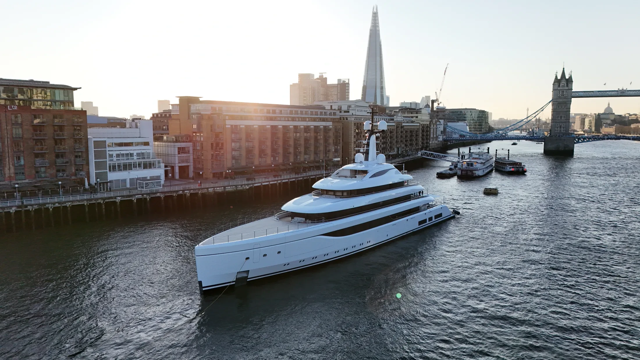
Port & Harbour Surveys in England
Professional, sea-safe port & harbour surveys in England supporting shipping, yachts, and coastal structures.
UAS London provides port & harbour surveys throughout the coastal waters and port facilities of England. Coverage extends from inside the harbour limits out to offshore structures. We can attend a pre-start or induction where the port or project requires one.
Where the England target is offshore, we plan the vessel as carefully as the flight. Float kits and redundant airframes are used where the risk profile justifies them. Battery and crew rotations are planned so coverage does not break mid-sequence.
Where England work touches secure port estate, we complete the operator's own permit process. Every flight is logged, and the records remain available for your compliance file. We do not fly outside our permissions, whatever the vessel schedule demands.
Where a weather window is short, we plan the shot list so nothing needs a second mobilisation. Share the England timescale and we will confirm availability against the forecast. We are straightforward about what the conditions will and will not allow.
At-Sea & Coastal Vessel Support
For offshore and coastal drone operations around England, we partner with Cinecraft to provide direct access to MCA-coded support vessels.
This turnkey package includes drone equipment, fully certified marine pilots, support vessels, and skippers, ensuring an integrated and safe operation without having to manage separate suppliers.
Marine Specifications in England
Other Maritime Services in England
Nearby Locations in Canal & River Trust Waterways
Book Marine Services
Offshore operations at England require specialist permissions, risk assessments, and marine channel monitoring.
Request Marine QuoteMarine Standards
- VHF Marine Radio Equipped
- £10M Maritime Insurance
- MCA-Coded Support Vessels
- Offshore Trained Pilots
- Harbour Master liaison
- Sea-state planning fail-safes
Frequently Asked Questions
Can you work from shore rather than a vessel in England?
Where the subject stays in range and there is a safe launch point, yes, and it costs less. Anything further out needs a vessel, and we will tell you honestly which the job requires.
Can you deliver survey-grade data as well as imagery?
Yes. RTK-equipped platforms produce georeferenced orthomosaics and 3D models of quays, defences and structures to centimetre accuracy, delivered in the formats your engineering team already uses.
Do you coordinate with the vessel's skipper?
Yes. Given the skipper's contact we plan the passage and the shot list together, which is what makes the difference between a vessel that happens to be in frame and one that is positioned for the shot.