

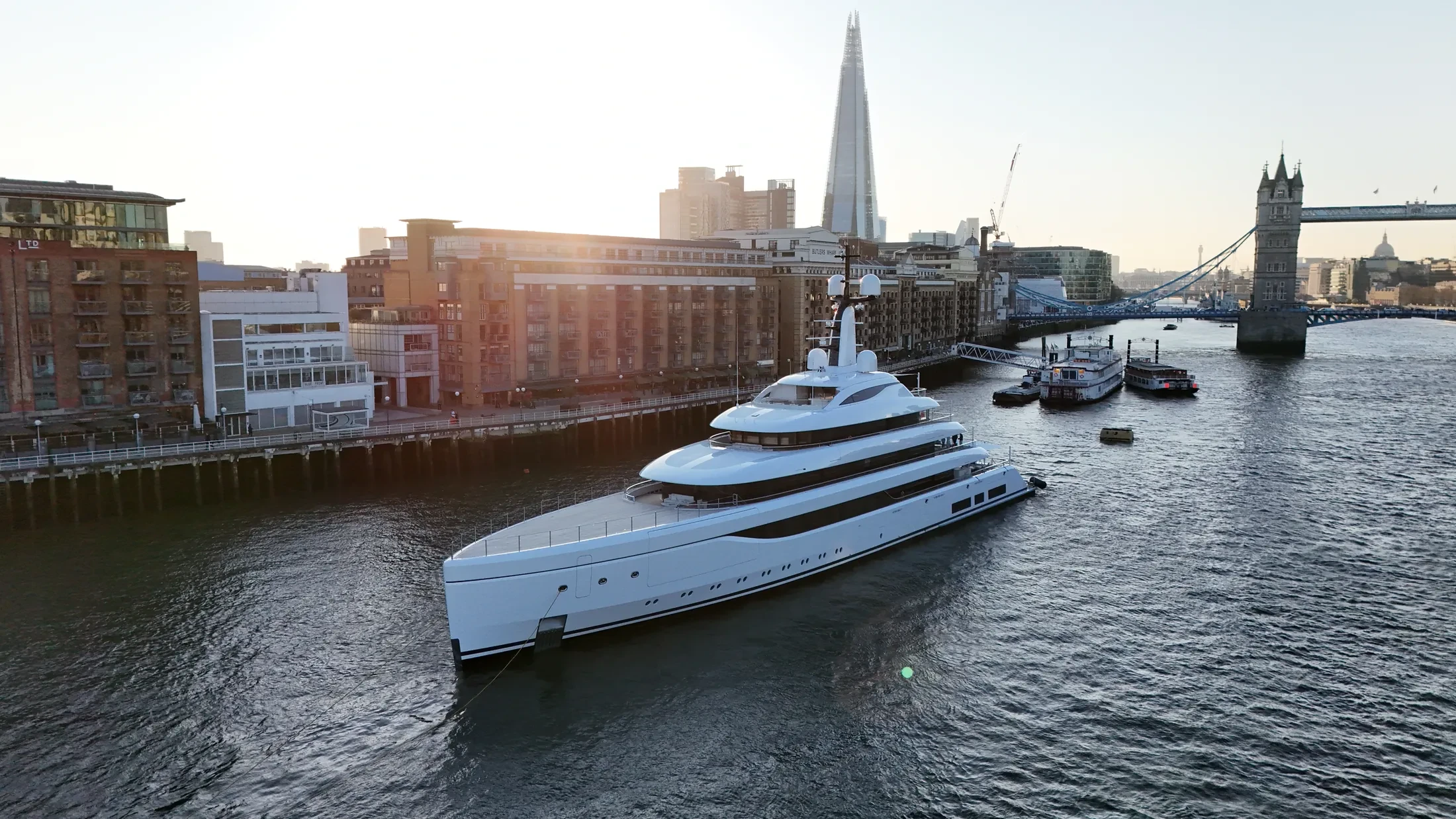
Coastal Drone Surveys in Bangor
Professional, sea-safe coastal drone surveys in Bangor supporting shipping, yachts, and coastal structures.
If your operation is based in Bangor, we can plan and fly coastal drone surveys around it. Work here ranges from vessel photography to structural survey of harbour infrastructure. Early starts are normal, because the calmest water is usually the earliest water.
Geofenced limits and ditch procedures are set for each Bangor sortie before take-off. High-zoom payloads allow close inspection without flying close to the structure. Sorties are kept purposeful, because endurance is finite and the weather rarely waits.
Port security, harbour control and vessel operators in Bangor are briefed ahead of the flight. Return-to-home limits account for wind drift, sea state and a moving launch platform. We would rather lose the window and rebook than fly a marginal offshore sortie.
Survey data from Bangor is processed and returned within two working days. Contact the operations desk to check dates in Bangor and receive a written quote. Quotes are fixed, not estimates that drift once the vessel is booked.
At-Sea & Coastal Vessel Support
For offshore and coastal drone operations around Bangor, we partner with Cinecraft to provide direct access to MCA-coded support vessels.
This turnkey package includes drone equipment, fully certified marine pilots, support vessels, and skippers, ensuring an integrated and safe operation without having to manage separate suppliers.
Marine Specifications in Bangor
Other Maritime Services in Bangor
Nearby Locations in Belfast Lough
Coastal Drone Surveys in Belfast
Professional maritime drone operations active across Belfast.
View Location Details →Coastal Drone Surveys in Carrickfergus
Professional maritime drone operations active across Carrickfergus.
View Location Details →Coastal Drone Surveys in Holywood
Professional maritime drone operations active across Holywood.
View Location Details →Book Marine Services
Offshore operations at Bangor require specialist permissions, risk assessments, and marine channel monitoring.
Request Marine QuoteMarine Standards
- VHF Marine Radio Equipped
- £10M Maritime Insurance
- MCA-Coded Support Vessels
- Offshore Trained Pilots
- Harbour Master liaison
- Sea-state planning fail-safes
Frequently Asked Questions
Can you film vessels under way near Bangor?
Yes. Vessel tracking is core to our marine work, from workboats and commercial shipping to yachts under sail. Dual-operator crews keep the pilot focused on proximity and drift while the camera holds the shot.
What does coastal drone surveys in Bangor cost?
It depends on vessel support, flight time and deliverables, so we quote per project rather than from a rate card. Send us the Bangor details and we will come back with a fixed, obligation-free price.
Can you deliver survey-grade data as well as imagery?
Yes. RTK-equipped platforms produce georeferenced orthomosaics and 3D models of quays, defences and structures to centimetre accuracy, delivered in the formats your engineering team already uses.