

A jacked-up pontoon with a crane and an excavator on it is one of the most useful things on the river and one of the hardest to photograph from anywhere except above. What aerial coverage gives a marine civils contractor, beyond a nice picture at sunset.
A spud-leg pontoon is a simple idea executed extremely well. It is a flat barge with vertical legs that can be driven down into the riverbed until the hull lifts clear of the water, turning a floating platform into a fixed one. Once it is jacked up, the tide stops mattering and you can operate a crane or an excavator from it as if it were a piece of land you have temporarily invented.
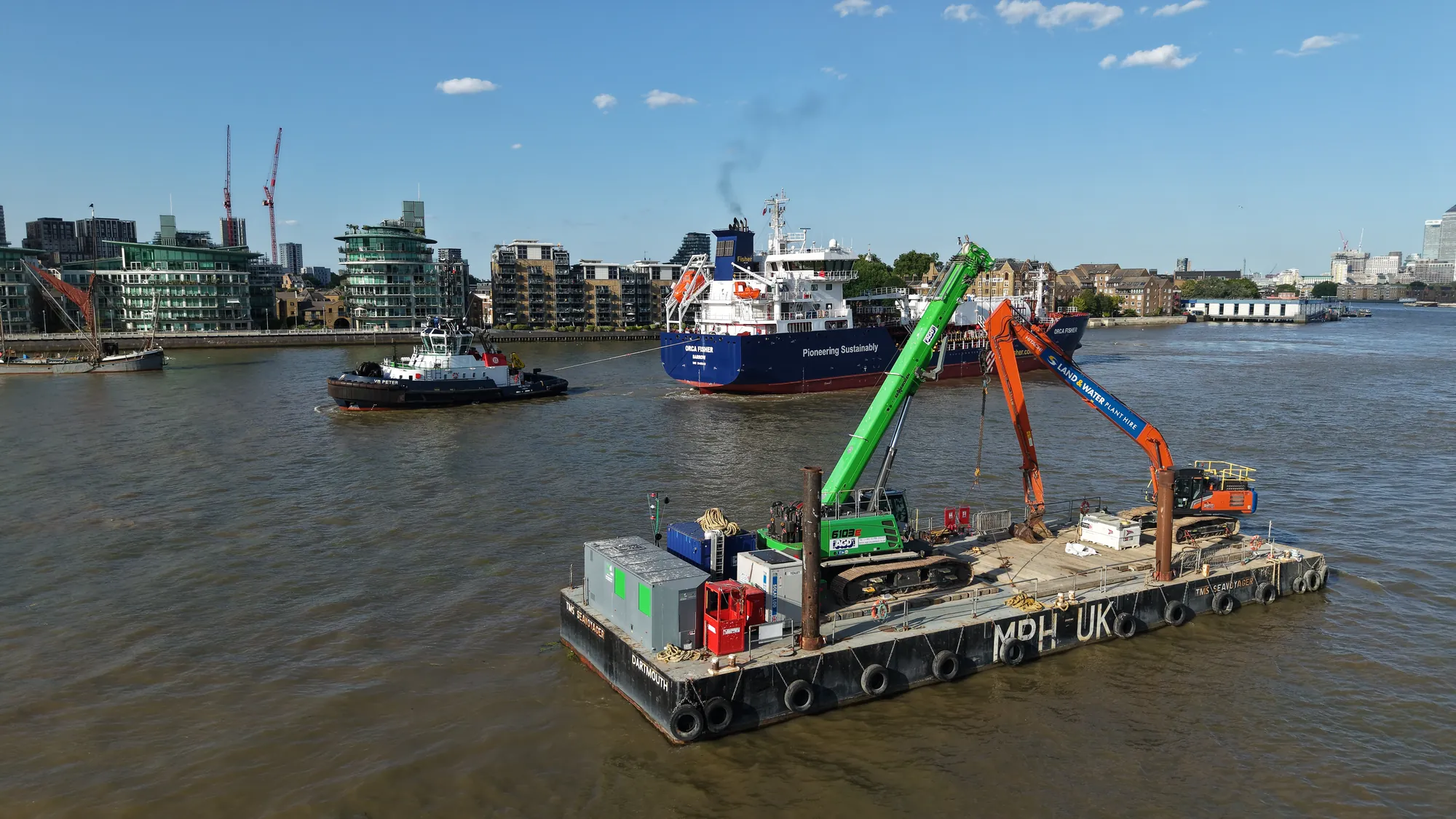
The TMS Seavoyager is one of these, operated through Marine Plant Hire (MPH UK), carrying an AGD Equipment crane and a Land and Water excavator. We photographed her working the tidal Thames as the sun went down behind the City.
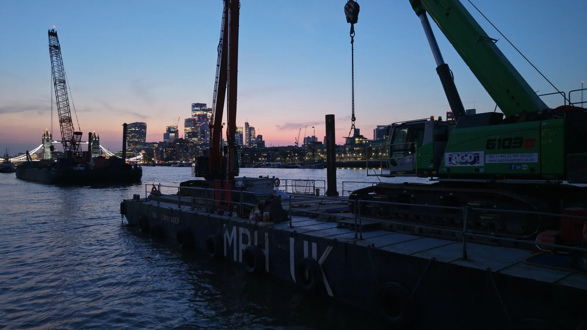
Why this is an aerial subject
Marine plant is genuinely difficult to photograph from anywhere else.
From the bank you are looking at the side of a barge and a bit of yellow machinery. From a workboat alongside you are below deck level, so the deck itself, which is the whole working area, is invisible. From directly above, everything resolves: the deck layout, the position of the plant, the spud legs and how far they are driven, the working radius of the crane, the relationship between the pontoon and whatever it is working on, and the river traffic passing it.
That top-down view is not decorative. On a river civils job it is the record of what was done, where, and in what sequence.
What contractors use it for
The marketing images are the by-product. The uses that pay for the flight are these:
- •Progress records. Repeat flights from the same positions produce a dated sequence of a works package, which is the cleanest possible evidence for a client, a certifier or a delay claim.
- •Method demonstration. An aerial view of the plant in position explains a proposed methodology to a client, a planning officer or a riparian owner in a way a drawing does not.
- •Access and condition. The same flight records the structure being worked on, whether that is a jetty, a river wall, a slipway, a bridge pier or a set of dolphins, at a resolution that would otherwise require a boat and a rope access team.
- •Safety review. Deck layout, exclusion zones, load positions and the wider river environment in one frame.
Our construction progress monitoring and asset condition surveys pages cover the survey side of this.
The tide sets the programme
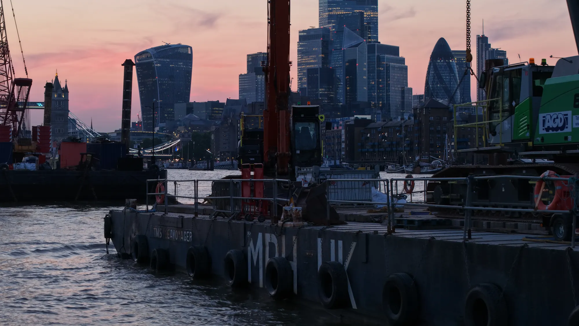
Marine civils on a tidal river is scheduled around the water, not the working day. Legs go down and come up around the tide, plant is loaded and landed at particular states, and some operations are only possible for a couple of hours either side of high or low water.
For aerial coverage that has one practical consequence: the flight has to be planned against the works programme and the tide table together. A visit booked for a convenient hour will find a pontoon sitting idle. A visit planned against the tide finds it doing the thing you came to record.
That is easier for us than for most, because our background is river operations rather than photography. Reading a works programme against a tide table is not a translation exercise.
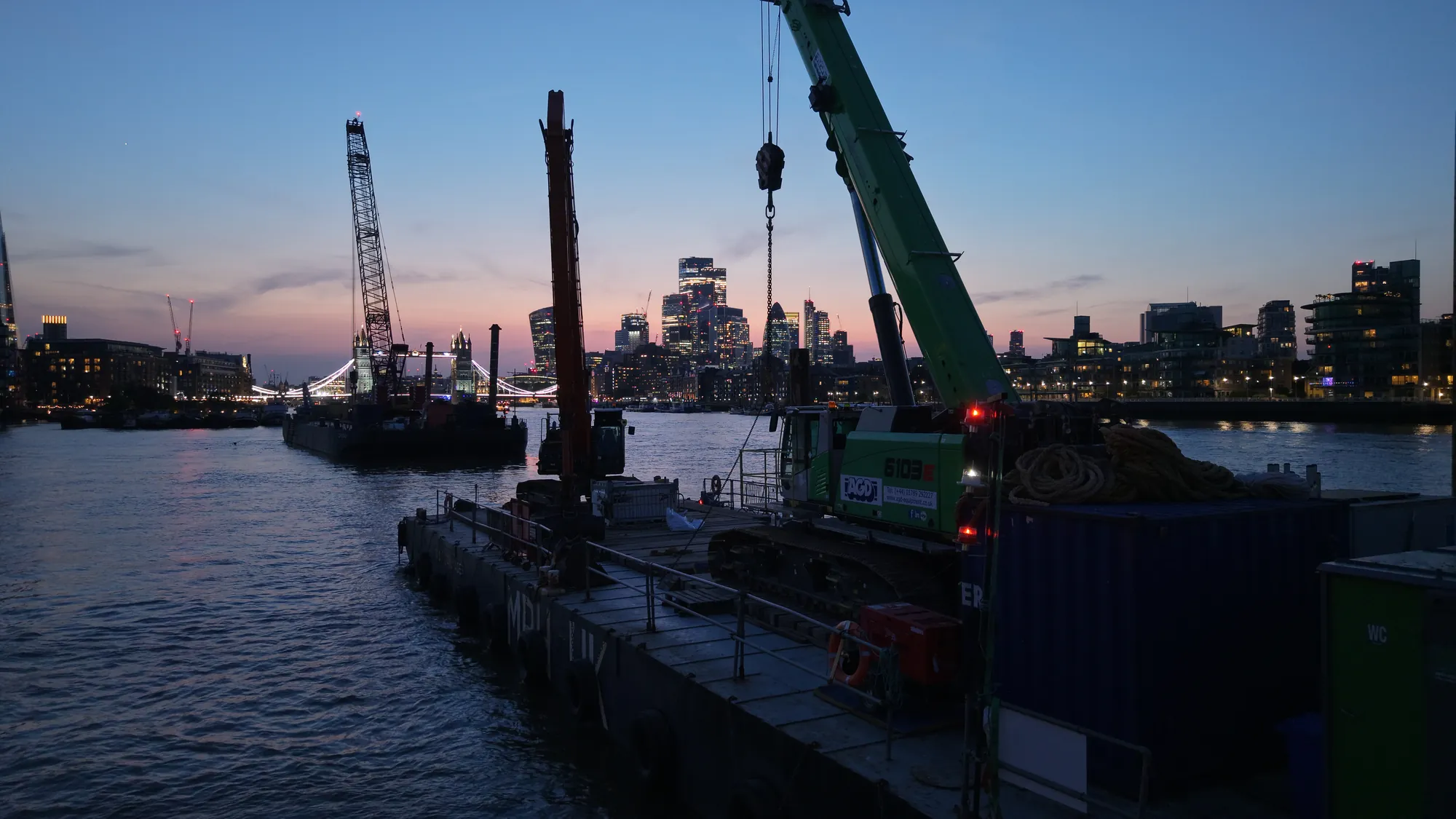
The full set is on the TMS Seavoyager project page.
If you are running marine civils, dredging, piling or river wall works on the Thames or the Medway, see Thames marine civil filming, our maritime drone services, or get in touch.